Old Maps of Mount Vernon, Alabama for Academic Research
Study the evolution of Mount Vernon with 29 high-resolution historic maps. Whether you're teaching, researching, or modeling changes in land use, these maps provide essential visual documentation of urban, environmental, and geographic change.
- Analyze long-term change: Track patterns in development, transportation, and natural features.
- Ideal for environmental or urban studies: Support academic projects with primary historical map data.
- Use in the classroom or lab: Educators and researchers rely on these maps to bring historical context to life.
These maps are a powerful tool for teaching, research, and visualizing how Mount Vernon has changed over the decades.
Mount Vernon, AL maps
(29)- 1943 Map of Tensaw, 1958 Print
 1943 Tensaw1958 Print · USGSBaldwin County at the height of the river-landing era is detailed here through its complex bayous and plantations. Genealogists can locate family names at Lancaster Cem and trace rural life at Fleming Sch or Davis Ldg.2 unique versions available
 - 1943 Map of Citronelle, 1960 Print
 1943 Citronelle1960 Print · USGSThe pine hills of northern Mobile County are captured here in the early 1940s, just as the river-and-rail economy matured. Genealogists can locate family landmarks like St Thomas Cem, Sims Chapel, and the Weaver Community House.2 unique versions available
 - 1944 Map of Tensaw
 1944 Tensaw1944 Print · USGSThe Alabama and Mobile River deltas are captured here during the mid-forties, showing a landscape defined by intricate waterways and rural landings. Researchers can trace historic river access at Old Ft Stoddard Mt Vernon Ldg or locate family sites like Lancaster Cem and Stockton Sch.3 unique versions available
 - 1946 Map of Citronelle
 1946 Citronelle1946 Print · USGSCoastal Alabama's pine-belt communities and rail networks are captured here in the mid-1940s as industry and infrastructure expanded. Researchers can locate specific local landmarks like Cherokee Mineral Sprs, Cedar Creek State Park, and the Fairford Fire Tower.2 unique versions available
 - 1953 Map of Andalusia, 1965 Print
 1953 Andalusia1965 Print · USGSSouth Alabama in the mid-twentieth century remains a land of pine forests and river-fed settlements. You can trace the vital rail corridors of the Louisville & Nashville and locate regional centers such as Andalusia, Brewton, and Monroeville.3 unique versions available
 - 1953 Map of Hattiesburg, 1965 Print
 1953 Hattiesburg1965 Print · USGSSouth Mississippi and western Alabama are shown here during the mid-twentieth century as the timber and rail industries shaped the region. Genealogists and historians can trace rail lines like the Mississippi Central and locate rural centers such as Magee, Richton, and Mount Vernon.4 unique versions available
 - 1957 Map of Andalusia
 1957 Andalusia1957 Print · USGSSouthern Alabama in the mid-1950s was a landscape defined by timbered stretches and the rhythmic flow of the Alabama River. Researchers can trace the legacy of the rail era through the Central of Georgia tracks and the storied river bluffs at Choctaw Bluff.
 - 1958 Map of Hattiesburg
 1958 Hattiesburg1958 Print · USGSSoutheastern Mississippi's timber and rail networks are at their peak during the late fifties, centered on the growing hubs of Hattiesburg and Laurel. Researchers can trace old family landmarks like Sims Chapel, the Busbey Game Refuge, and the vanished stops along the Mississippi Central railroad.2 unique versions available
 - 1982 Map of Calvert
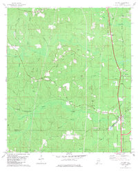 1982 Calvert1982 Print · USGSSouthwestern Alabama's timber and rail country comes to life in the early 1980s. Genealogists and local historians can trace family locations near numerous rural landmarks like Vaughn Cem, Byrd Chapel, and the Fairford Lookout Tower.
 - 1982 Map of Mount Vernon
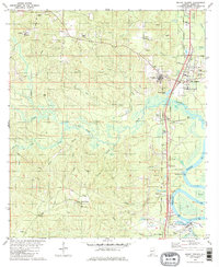 1982 Mount Vernon1982 Print · USGSThe Mobile River riverfront and the town of Mt Vernon appear in the early eighties as a hub of rail activity and industrial transit. Researchers can trace the grounds of Searcy State Hospital or locate local landmarks like Stage Coach Woods and Chastang Landing.2 unique versions available
 - 1983 Map of Stiggings Lake
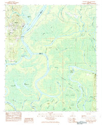 1983 Stiggings Lake1983 Print · USGSThe river delta between Mobile and Baldwin counties is captured here in the early eighties, showcasing a labyrinth of wetlands and historic landings. Researchers can trace the sites of Ft Stoddard and an Indian Mound, or locate local landmarks like Belsaw Sch and Meathers Landing.2 unique versions available
 - 1984 Map of Citronelle
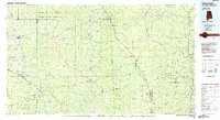 1984 Citronelle1984 Print · USGSThe Alabama-Mississippi borderlands in the mid-1980s were a hub of timber and rail, spanning from the Leaf River to the Mobile County line. Genealogists can trace family roots through rural communities like Sims Chapel, Leakesville, and Vinegar Bend.2 unique versions available
 - 1984 Map of Hattiesburg
 1984 Hattiesburg1984 Print · USGSSouth Mississippi’s Pine Belt is seen here in the mid-eighties, showing the region as a hub of timber production and petroleum extraction. Trace the rail lines of the Illinois Central Gulf RR through old settlements like Richton or the energy developments at the Heidelberg Oil Field.2 unique versions available
 - 1986 Map of Atmore
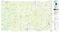 1986 Atmore1986 Print · USGSSouth Alabama’s river country and timberlands are captured here in the mid-eighties, showing the deep-water bends of the Alabama River and the expanding road networks. Genealogists and historians can trace family locations through small-town post offices and rural churches like Chrysler Ch and the settlement of Barlow Bend.2 unique versions available
 - 2011 Map of Stiggins Lake, 2011 Print
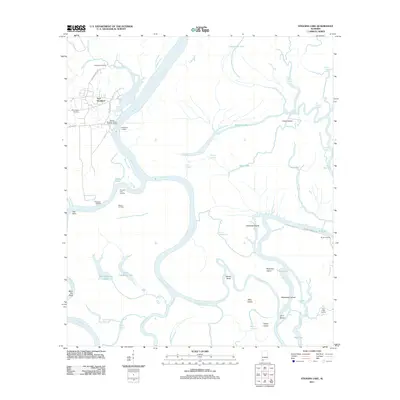 2011 Stiggins Lake2011 Print · USGSThe Mobile and Tensaw River delta is captured here in the early twenty-first century, showing a landscape defined by historical river crossings and bayous. Researchers can trace the heritage of Fort Stoddard, locate Morningstar Cemetery, or find old river access points like Rice Creek Landing.
 - 2011 Map of Calvert, 2011 Print
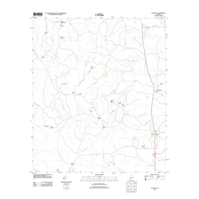 2011 Calvert2011 Print · USGSCoastal Alabama's rural interior comes to life in this early twenty-first-century survey of the communities north of Mobile. Researchers can trace family history through a series of local landmarks including the Weaver Community House, Reid Settlement, and Calvert Cemetery.
 - 2011 Map of Mount Vernon, 2011 Print
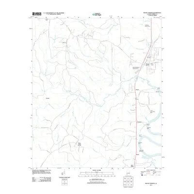 2011 Mount Vernon2011 Print · USGSMobile County’s riverfront comes into focus in this 2011 survey, showing the settlements and landings north of Mobile. Trace family roots at Mount Vernon Cemetery, find old river access at Chastang Landing, and explore the reaches of Cedar Creek.
 - 2014 Map of Calvert, 2014 Print
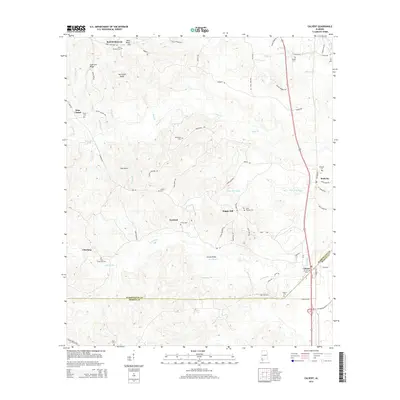 2014 Calvert2014 Print · USGSCoastal Alabama's rural interior near the Mobile and Washington county line is documented here in the early twenty-first century. Genealogists can trace family heritage at John Johnston Hill Springs Cemetery or locate old settlements like Sims Chapel and Chestang.
 - 2014 Map of Mount Vernon, 2014 Print
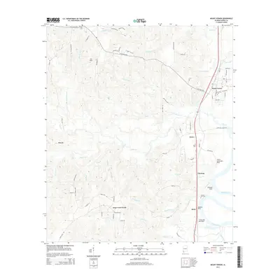 2014 Mount Vernon2014 Print · USGSMobile County settlements and river bluffs are documented in this recent survey of the riverfront corridor just north of Mobile. Genealogists and local researchers can trace family landmarks like Mt Vernon Cem, Seymour Bluff Cem, and the high ground at Thirty Seven Mile Bluff.
 - 2014 Map of Stiggins Lake, 2014 Print
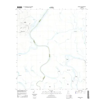 2014 Stiggins Lake2014 Print · USGSThe river delta south of Mount Vernon comes into focus in this recent survey of the Mobile and Baldwin County border. Genealogists and local historians can trace the streets of Mount Vernon, locate Morningstar Cem, and explore the historic environs of Fort Stoddard along the Mobile River.
 - 2018 Map of Calvert, 2018 Print
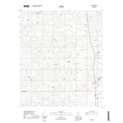 2018 Calvert2018 Print · USGSCommunities along the Mobile and Washington County border are captured here in the late twenty-teens. Genealogists can trace family footprints through numerous local sites like Mount Moriah Cem, Fairford, and Saint Thomas Cems.
 - 2018 Map of Mount Vernon, 2018 Print
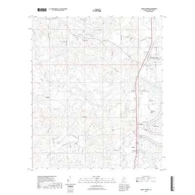 2018 Mount Vernon2018 Print · USGSThe Mobile River bluffs and river-road settlements north of Mobile are captured here in the late 2010s. Researchers can trace family history through sites like Mount Vernon Cem, Roper Cem, and the river landings at Thirty Seven Mile Bluff.
 - 2018 Map of Stiggins Lake, 2018 Print
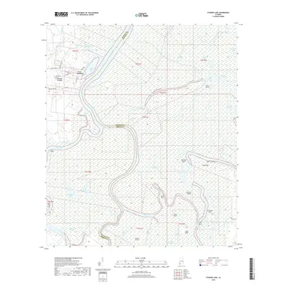 2018 Stiggins Lake2018 Print · USGSThe river delta near Mount Vernon comes into focus in the late 2010s, where the Mobile and Tensaw rivers diverge into a maze of islands and sloughs. Genealogists and historians can trace local landmarks like Morningstar Cem or the site of Fort Stoddard.
 - 2020 Map of Calvert, 2020 Print
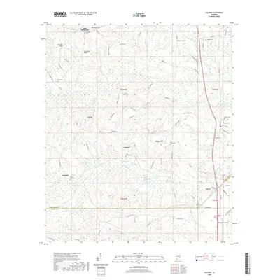 2020 Calvert2020 Print · USGSThe Alabama borderlands of Washington and Mobile counties come into focus here, showing the rural communities along the swampy basin of Poll Bayou. Researchers can trace local lineage through a dozen historic sites like Mount Moriah Cemetery, Reid Settlement, and Chestang.
 - 2020 Map of Mount Vernon, 2020 Print
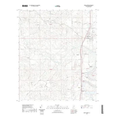 2020 Mount Vernon2020 Print · USGSSettlements along the Mobile River bluffs are captured in this recent survey of northern Mobile County. Researchers can trace family history at the Mount Vernon Community Cem or locate riverfront sites like Chastang Bluff and Bucks.
Showing maps 1-25 of 29
Top cities near Mount Vernon
- Saraland historical maps
- Bay Minette historical maps
- Satsuma historical maps
- Citronelle historical maps
- Creola historical maps
- Movico historical maps
See more
Frequently asked questions
- What are the different types of historical maps available for Mount Vernon?
- What is the oldest map of Mount Vernon?
- Where can I purchase historical maps of Mount Vernon for my home or office?
- Where can I download high-res historical maps of Mount Vernon?
- Are there historical topographic maps available for Mount Vernon?
- Is there historical aerial imagery available for Mount Vernon?
- Where are historical maps of Mount Vernon sourced from?