2000s (21st Century) Maps of Monroe County, Alabama
Explore 141 historic maps of Monroe County from the 2000s (21st Century). These maps offer a rare glimpse into what life looked like during the 2000s — showing old roads, neighborhoods, homes, and landmarks that have changed or disappeared over time.
Whether you're researching your family's past, planning a metal detecting trip, or studying how Monroe County's landscape evolved across the 2000s, these high-resolution maps are a powerful tool for exploring the history of this region.
- Focus on a specific era: All maps on this page are from the 2000s, giving you a focused view of this time period.
- See what’s changed: Compare century-old streets, trails, and buildings to today's modern landscape using overlays and satellite layers.
- Research with precision: Use these maps for genealogy, historical research, land use analysis, or educational projects.
- View, download, or print: Maps are fully viewable online in high resolution, and can be downloaded or printed for your own records.
Start exploring Monroe County's history through authentic maps from the 2000s. This is your window into the past.
Monroe County, AL maps
(141)- 2002 Map of Perdido
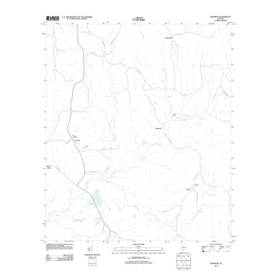
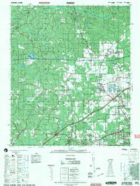 2002 Perdido2002 Print · USGSCoastal Alabama at the turn of the millennium reveals a rural landscape of timberlands and small family settlements. Researchers can trace ancestral roots through several documented burial sites like Mothershed Cemetery and Steadham Cemetery or locate old community hubs like Poarch and Lottie.
 - 2011 Map of McWilliams, 2011 Print
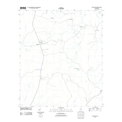 2011 McWilliams2011 Print · USGSCovers Monroe County, including Pine Apple, Schuster, and other nearby areas
 - 2011 Map of Natchez, 2011 Print
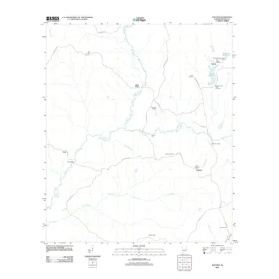 2011 Natchez2011 Print · USGSCovers Monroe County, including Natchez, Keith, and other nearby areas
 - 2011 Map of Beatrice, 2011 Print
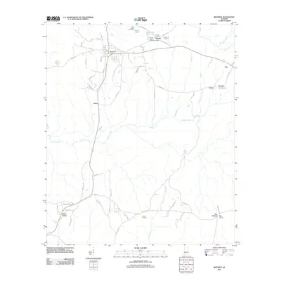 2011 Beatrice2011 Print · USGSCovers Monroe County, including Beatrice, Kalem, and other nearby areas
 - 2011 Map of Frisco City, 2011 Print
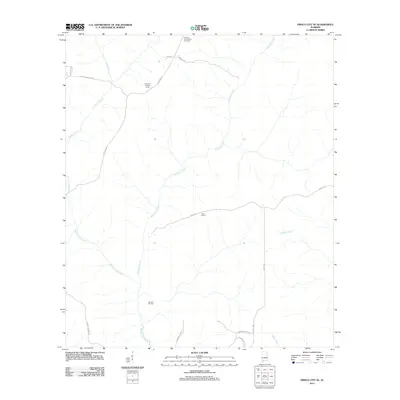
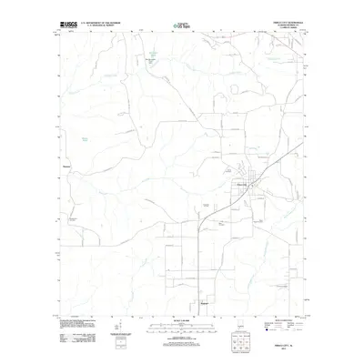 2011 Frisco City2011 Print · USGSCovers Monroe County, including Frisco City, Manistee, and other nearby areas
 - 2011 Map of Chrysler, 2011 Print
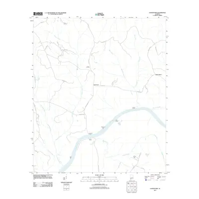
 2011 Chrysler2011 Print · USGSCovers Monroe County, including Little River, Georgetown, and other nearby areas
 - 2011 Map of Flynns Lake, 2011 Print
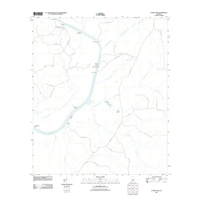 2011 Flynns Lake2011 Print · USGSCovers Monroe County, including Clarke County, United States, and other nearby areas
 - 2011 Map of Hybart, 2011 Print
 2011 Hybart2011 Print · USGSCovers Monroe County, including Asahel, Hybart, and other nearby areas
 - 2011 Map of Gainestown, 2011 Print
 2011 Gainestown2011 Print · USGSCovers Monroe County, including Barlow Bend, Gainestown, and other nearby areas
 - 2011 Map of McCullough, 2011 Print
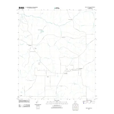 2011 McCullough2011 Print · USGSCovers Monroe County, including McCullough, Jack Springs, and other nearby areas
 - 2011 Map of Chance, 2011 Print
 2011 Chance2011 Print · USGSCovers Monroe County, including Chance, Finchburg, and other nearby areas
 - 2011 Map of Blacksher, 2011 Print
 2011 Blacksher2011 Print · USGSCovers Monroe County, including Serange, Blacksher, and other nearby areas
 - 2011 Map of Excel, 2011 Print
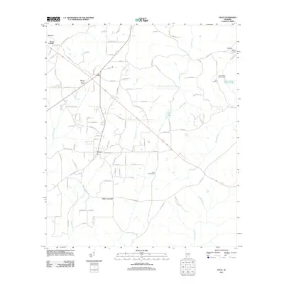 2011 Excel2011 Print · USGSCovers Monroe County, including Monroeville, Excel, and other nearby areas
 - 2011 Map of Repton, 2011 Print
 2011 Repton2011 Print · USGSCovers Monroe County, including Repton, Bermuda, and other nearby areas
 - 2011 Map of Frisco City SE, 2011 Print
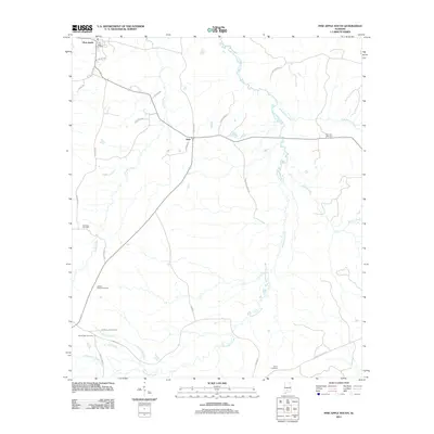
 2011 Frisco City SE2011 Print · USGSCovers Monroe County, including Escambia County, Conecuh County, and other nearby areas
 - 2011 Map of Pine Apple South, 2011 Print
 2011 Pine Apple South2011 Print · USGSCovers Monroe County, including Pine Apple, Awin, and other nearby areas
 - 2011 Map of Uriah West, 2011 Print
 2011 Uriah West2011 Print · USGSCovers Monroe County, including Uriah, Homewood, and other nearby areas
 - 2011 Map of Burnt Corn, 2011 Print
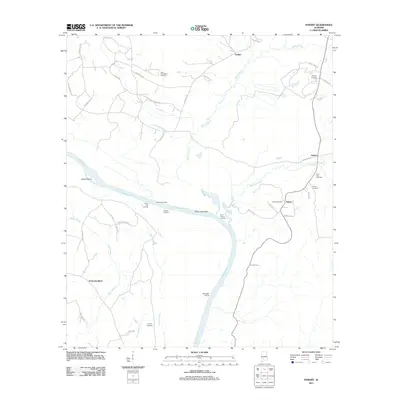
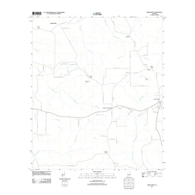
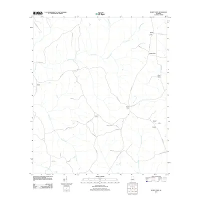 2011 Burnt Corn2011 Print · USGSCovers Monroe County, including Ramah, Burnt Corn, and other nearby areas
 - 2011 Map of Monroeville, 2011 Print
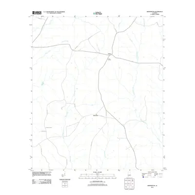
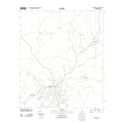 2011 Monroeville2011 Print · USGSCovers Monroe County, including Monroeville, West Monroeville, and other nearby areas
 - 2011 Map of Skinnerton, 2011 Print
 2011 Skinnerton2011 Print · USGSCovers Monroe County, including Midway, Skinnerton, and other nearby areas
 - 2011 Map of Vredenburgh, 2011 Print
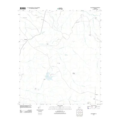
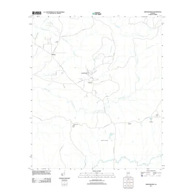 2011 Vredenburgh2011 Print · USGSCovers Monroe County, including Vredenburgh, Bellview, and other nearby areas
 - 2011 Map of Carlton, 2011 Print
 2011 Carlton2011 Print · USGSCovers Monroe County, including Carlton, Baldwin County, and other nearby areas
 - 2011 Map of Bethel, 2011 Print
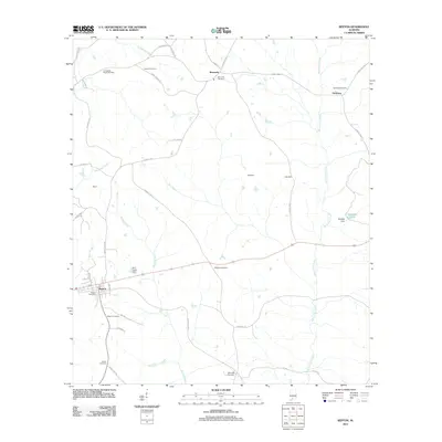
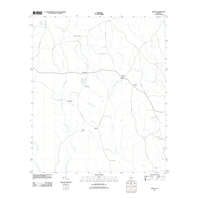 2011 Bethel2011 Print · USGSCovers Monroe County, including Commerce, Mixonville, and other nearby areas
 - 2011 Map of Claiborne, 2011 Print
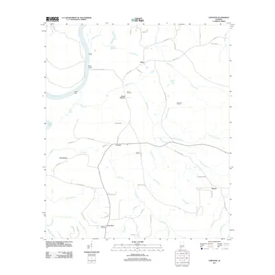
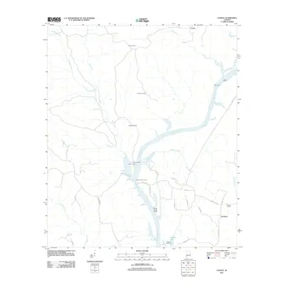
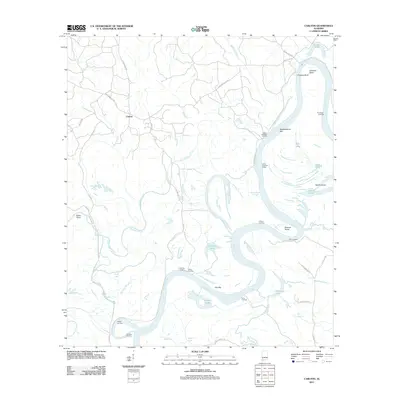
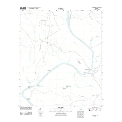 2011 Claiborne2011 Print · USGSCovers Monroe County, including Gosport, Claiborne, and other nearby areas
 - 2011 Map of Nadawah, 2011 Print
 2011 Nadawah2011 Print · USGSCovers Monroe County, including Buena Vista, Watsonville, and other nearby areas
Showing maps 1-25 of 141
Top cities of Monroe County
- Monroeville historical maps
- Frisco City historical maps
- Excel historical maps
- Uriah historical maps
- Vredenburgh historical maps
- Beatrice historical maps
Frequently asked questions
- What are the different types of historical maps available for Monroe County?
- What is the oldest map of Monroe County?
- Where can I purchase historical maps of Monroe County for my home or office?
- Where can I download high-res historical maps of Monroe County?
- Are there historical topographic maps available for Monroe County?
- Is there historical aerial imagery available for Monroe County?
- Where are historical maps of Monroe County sourced from?