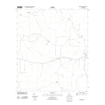
2011 Map of Uriah West
USGS Topo · Published 2011About this map
Homewood and Jeddo anchor this Monroe County landscape, characterized by a transition from agricultural fields to timbered tracts and active petroleum extraction. The 2011 survey reveals an economy supported by the Wallers Creek Oil Field and the Uriah Oil Field, with the latter located just south of the community of Jeddo. Settlement patterns follow the topography, with Palmers Crossroads serving as a central node for local routes like Doc Caylor Rd and S Palmers Rd.
Find a feature on this map
62 named features on this map. Tap any name to fly to it.
Don’t see what you’re looking for? This feature index may not catch every label — zoom into the map to look around manually.
Map Details
Editions of this 2011 Uriah West Map
This is the sole edition of this map. No revisions or reprints were ever made.
Other maps of this area

1942 · Perdido
USGS Topo · 1:62,500

1944 · Perdido
USGS Topo · 1:62,500

1953 · Andalusia
USGS Topo · 1:250,000

1957 · Andalusia
USGS Topo · 1:250,000

1960 · Huxford
USGS Topo · 1:24,000

1972 · Frisco City
USGS Topo · 1:24,000

1972 · Uriah East
USGS Topo · 1:24,000

1972 · Chrysler
USGS Topo · 1:24,000

1972 · Uriah West
USGS Topo · 1:24,000

1972 · Flynns Lake
USGS Topo · 1:24,000