
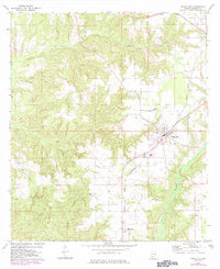
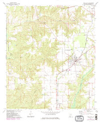
1972 Map of Frisco City
USGS Topo · Published 1973About this map
Frisco City serves as the primary hub of this Monroe County landscape, where the St Louis - San Francisco railroad cuts a diagonal path through the countryside. The rail-oriented layout of the town is complemented by outlying settlements like Megargel, Manistee, and Mexboro. These small communities are tethered together by a network of rural roads and localized industry, evidenced by the Gravel Pit and Claypit operations found near the watercourses.
Find a feature on this map
28 named features on this map. Tap any name to fly to it.
Don’t see what you’re looking for? This feature index may not catch every label — zoom into the map to look around manually.
Map Details
Editions of this 1972 Frisco City Map
3 editions found
Other maps of this area

1953 · Andalusia
USGS Topo · 1:250,000

1957 · Andalusia
USGS Topo · 1:250,000

1972 · Monroeville
USGS Topo · 1:24,000

1972 · Frisco City SE
USGS Topo · 1:24,000

1972 · Uriah East
USGS Topo · 1:24,000

1972 · Excel
USGS Topo · 1:24,000

1972 · Mexia
USGS Topo · 1:24,000

1972 · Uriah West
USGS Topo · 1:24,000

1972 · Flynns Lake
USGS Topo · 1:24,000

1972 · Claiborne
USGS Topo · 1:24,000