Old Maps of Pleasant Grove, Alabama for Academic Research
Study the evolution of Pleasant Grove with 10 high-resolution historic maps. Whether you're teaching, researching, or modeling changes in land use, these maps provide essential visual documentation of urban, environmental, and geographic change.
- Analyze long-term change: Track patterns in development, transportation, and natural features.
- Ideal for environmental or urban studies: Support academic projects with primary historical map data.
- Use in the classroom or lab: Educators and researchers rely on these maps to bring historical context to life.
These maps are a powerful tool for teaching, research, and visualizing how Pleasant Grove has changed over the decades.
Pleasant Grove, AL maps
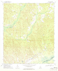
(10)- 1953 Map of Birmingham, 1964 Print
 1953 Birmingham1964 Print · USGSCentral Alabama at mid-century shows a landscape defined by industrial expansion and the iron-rich ridges surrounding Birmingham. Researchers can trace the extensive rail networks of the L & N RR or locate historic federal sites like the Anniston Ordnance Depot.4 unique versions available
 - 1956 Map of Birmingham
 1956 Birmingham1956 Print · USGSCentral Alabama in the mid-fifties exhibits a landscape of growing cities and deep-rooted industrial corridors. Genealogists and historians can trace the development of suburban Mountain Brook or locate regional hubs like Sylacauga and Jasper.
 - 1957 Map of Birmingham
 1957 Birmingham1957 Print · USGSNorth-Central Alabama in the mid-fifties is an industrial powerhouse centered on the steel valleys and sprawling iron ridges. Genealogists and historians can trace the rail-linked growth of Birmingham and Tuscaloosa, or locate rural landmarks like Talladega College and the Anniston Ordnance Depot.
 - 1970 Map of Kirk, 1972 Print
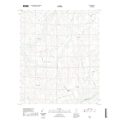
 1970 Kirk1972 Print · USGSPickens County hill country and the Sipsey River bottomlands appear here as they were in the early 1970s, before modern changes. Genealogists and historians can trace the Old Railroad Grade and find rural sites like Speeds Water Mill, Souls Chapel, and Piney Grove Cem.2 unique versions available
 - 1984 Map of Tuscaloosa, 1985 Print
 1984 Tuscaloosa1985 Print · USGSWest-central Alabama centers on the mid-1980s expansion of the university and the river economy. Genealogists and historians can trace small-town connections through Burchfield Store, North Johns, and the rail lines of the Southern railroad.2 unique versions available
 - 2011 Map of Kirk, 2011 Print
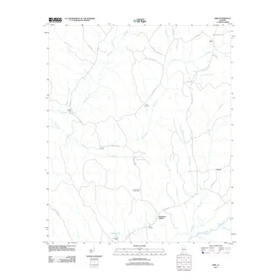 2011 Kirk2011 Print · USGSCovers Pleasant Grove, including Kirk, Pioneer, and other nearby areas
 - 2014 Map of Kirk, 2014 Print
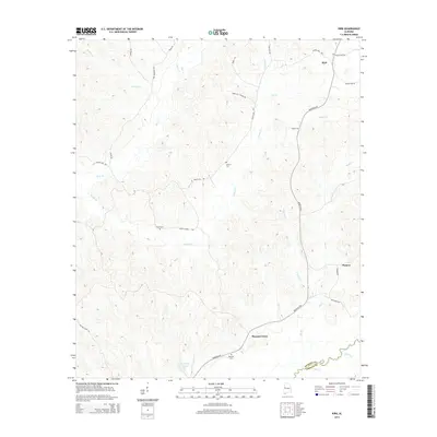 2014 Kirk2014 Print · USGSCovers Pleasant Grove, including Kirk, Pioneer, and other nearby areas
 - 2018 Map of Kirk, 2018 Print
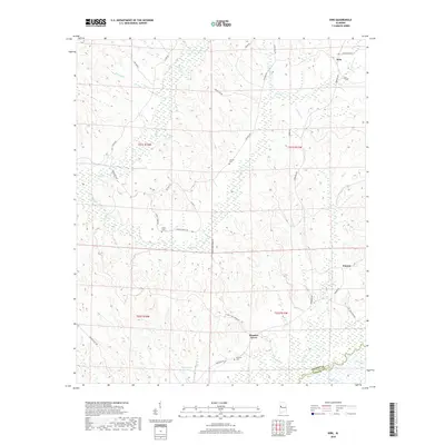 2018 Kirk2018 Print · USGSCovers Pleasant Grove, including Kirk, Pioneer, and other nearby areas
 - 2020 Map of Kirk, 2020 Print
 2020 Kirk2020 Print · USGSCovers Pleasant Grove, including Kirk, Pioneer, and other nearby areas
 - 2024 Map of Kirk, 2024 Print
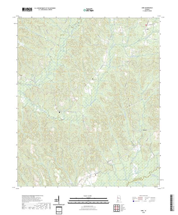 2024 Kirk2024 Print · USGSPickens and Greene counties are shown here in the 2020s, centered on the rural communities of Kirk and Pioneer. Genealogists and local historians can trace family-named routes and sites like Liberty Cem, Mitchell Cem, and the winding Sipsey River.
End of results
Showing maps 1-10 of 10
Top cities near Pleasant Grove
- Aliceville historical maps
- Gordo historical maps
- Reform historical maps
- Carrollton historical maps
- Coker historical maps
- Union historical maps
Frequently asked questions
- What are the different types of historical maps available for Pleasant Grove?
- What is the oldest map of Pleasant Grove?
- Where can I purchase historical maps of Pleasant Grove for my home or office?
- Where can I download high-res historical maps of Pleasant Grove?
- Are there historical topographic maps available for Pleasant Grove?
- Is there historical aerial imagery available for Pleasant Grove?
- Where are historical maps of Pleasant Grove sourced from?