Old Maps of Wedowee, Alabama for Genealogy
Trace your family roots with 19 historic maps of Wedowee. These high-res maps reveal old neighborhoods, homesites, landmarks, and streets — helping you uncover where your ancestors lived and how the area evolved over time.
- Explore historic neighborhoods: Identify where your relatives may have lived in the 1800s or 1900s.
- Compare maps over time: Trace the changes in streets, buildings, and landmarks for multi-generational research.
- Perfect for genealogy & ancestry research: Used by family historians and researchers to map out lineage and migration.
These maps are an incredible resource for exploring your personal connection to Wedowee's past.
Wedowee, AL maps
(19)- 1891 Map of Ashland
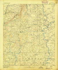 1891 Ashland1891 Print · USGSEast Central Alabama in the late nineteenth century is defined by the sharp ridges of the mountains and the vital crossings of the Tallapoosa River. Genealogists can trace family movements across Malone's Ferry or locate vanished sites like the Pine Tuckey Town Site and Ironaton.5 unique versions available
 - 1899 Map of Wedowee, 1958 Print
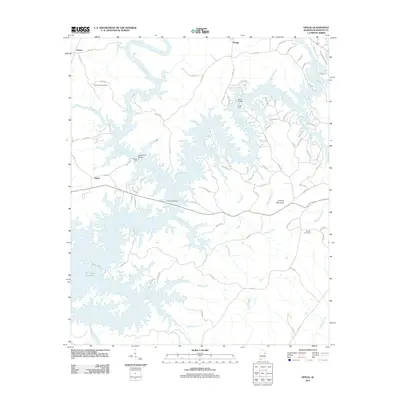
 1899 Wedowee1958 Print · USGSEastern Alabama and western Georgia are mapped here at the close of the nineteenth century, documenting the rural river-and-rail landscape. Researchers can trace historic crossings like Philpots Ferry and early industrial sites such as the Copper Mine.
 - 1902 Map of Wedowee
 1902 Wedowee1902 Print · USGSThe Alabama and Georgia state line bisects this turn-of-the-century landscape of river crossings and hill-country settlements. Genealogists can trace early homesteads and commerce at Philpots Ferry, the Copper Mine, or the town of Wedowee.3 unique versions available
 - 1953 Map of Atlanta, 1965 Print
 1953 Atlanta1965 Print · USGSThe growing Atlanta metro and the industrial corridors of Eastern Alabama are captured here during the mid-century transition. Researchers can trace the rail-to-road shift through hubs like Anniston and La Grange or locate sites within Fort McClellan.2 unique versions available
 - 1957 Map of Atlanta
 1957 Atlanta1957 Print · USGSAtlanta and the Alabama borderlands appear here in the mid-fifties, capturing the region's post-war suburban and industrial transition. Trace the development of early transport hubs and military sites like Fort McPherson, Anniston, and the Kennesaw Mountain National Battlefield Park.
 - 1958 Map of Atlanta
 1958 Atlanta1958 Print · USGSMid-century Georgia and Alabama are shown in this regional study of the corridor between the Chattahoochee River and the Appalachian foothills. Local historians can trace the development of suburban Atlanta alongside vital landmarks like Stone Mountain, Dobbins AFB, and the Seaboard Air Line rail routes.
 - 1969 Map of Wedowee, 1973 Print
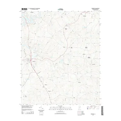
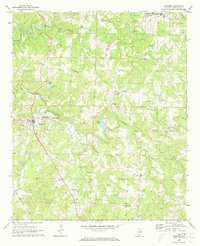 1969 Wedowee1973 Print · USGSRandolph County life in the late sixties centers on the town of Wedowee and the surrounding rural settlements. Genealogists and historians can trace family roots through numerous local landmarks like Zion Ch, Wildcat Creek Cem, and Ava.
 - 1970 Map of Ofelia, 1973 Print
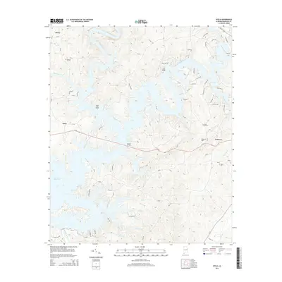
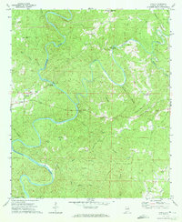 1970 Ofelia1973 Print · USGSThe winding Little Tallapoosa River valley in Randolph County is captured here in the early 1970s. Trace old community anchors like Ofelia, Mt Prospect Ch, and Island Ford Bridge across a landscape of family-named creeks and ridges.2 unique versions available
 - 1978 Map of La Grange, 1980 Print
 1978 La Grange1980 Print · USGSThe Alabama-Georgia borderlands are captured here in the late seventies, just as the newly formed West Point Lake reshaped the eastern landscape. Local historians can trace the Seaboard Coast Line rail corridor through hubs like Roanoke, Ashland, and Lineville.
 - 2011 Map of Wedowee, 2011 Print
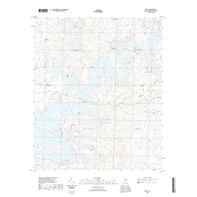
 2011 Wedowee2011 Print · USGSCovers Wedowee, including Woodland, Haywood, and other nearby areas
 - 2011 Map of Ofelia, 2011 Print
 2011 Ofelia2011 Print · USGSCovers Wedowee, including Liberty, Ofelia, and other nearby areas
 - 2014 Map of Wedowee, 2014 Print
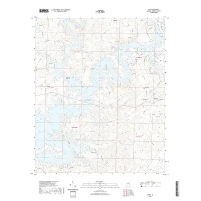
 2014 Wedowee2014 Print · USGSCovers Wedowee, including Woodland, Haywood, and other nearby areas
 - 2014 Map of Ofelia, 2014 Print
 2014 Ofelia2014 Print · USGSCovers Wedowee, including Liberty, Ofelia, and other nearby areas
 - 2018 Map of Wedowee, 2018 Print
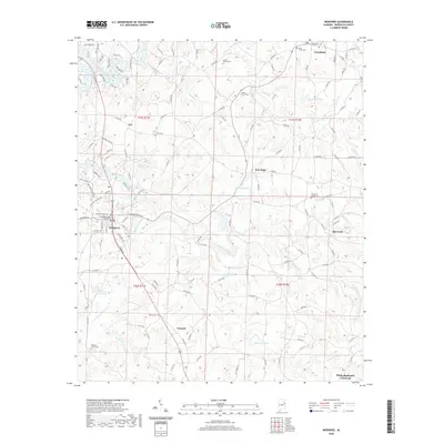
 2018 Wedowee2018 Print · USGSCovers Wedowee, including Woodland, Haywood, and other nearby areas
 - 2018 Map of Ofelia, 2018 Print
 2018 Ofelia2018 Print · USGSCovers Wedowee, including Liberty, Ofelia, and other nearby areas
 - 2020 Map of Ofelia, 2020 Print
 2020 Ofelia2020 Print · USGSCovers Wedowee, including Liberty, Ofelia, and other nearby areas
 - 2020 Map of Wedowee, 2020 Print
 2020 Wedowee2020 Print · USGSCovers Wedowee, including Woodland, Haywood, and other nearby areas
 - 2024 Map of Wedowee, 2024 Print
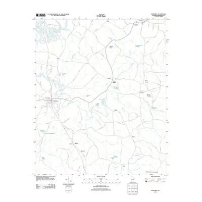
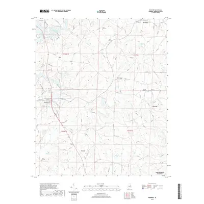
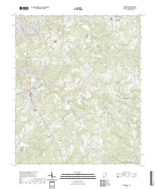 2024 Wedowee2024 Print · USGSRandolph County's rural heartland is meticulously documented here, showing the region's mix of creek valleys and upland settlements. Researchers can trace local heritage through the Traylor Family Cem, McBurnett Ford, and the many churches like Old Rocky Branch Baptist Church Cem.
 - 2024 Map of Ofelia, 2024 Print
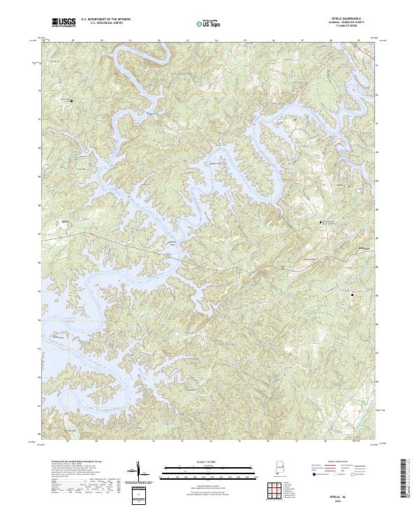 2024 Ofelia2024 Print · USGSRandolph County's river valleys are documented here during the modern era, showing the intersection of the Tallapoosa River and its reservoir. Genealogists can trace family landmarks and river history through sites like Boozer Cem, Butlers Ferry, and the Mount Pleasant Baptist Church.
End of results
Showing maps 1-19 of 19
Top cities near Wedowee
- Roanoke historical maps
- Lineville historical maps
- Bowdon historical maps
- Hollis Crossroads historical maps
- Wadley historical maps
- Ranburne historical maps
See more
Frequently asked questions
- What are the different types of historical maps available for Wedowee?
- What is the oldest map of Wedowee?
- Where can I purchase historical maps of Wedowee for my home or office?
- Where can I download high-res historical maps of Wedowee?
- Are there historical topographic maps available for Wedowee?
- Is there historical aerial imagery available for Wedowee?
- Where are historical maps of Wedowee sourced from?