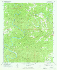
1970 Map of Ofelia
USGS Topo · Published 1973About this map
The Little Tallapoosa River winds in dramatic oxbows through this portion of Randolph County, defining a landscape of sharp ridges and deep creek bottoms. The settlement of Ofelia serves as a local landmark near the western edge, surrounded by family-centered sites like the Mt Prospect Ch and its associated cemetery. The mapping reveals a rural network of river crossings and small farming hubs, including the community of Swagg to the north and various historic bridges like Island Ford Bridge and Overton Bridge that provided vital transit across the river's frequent bends.
Find a feature on this map
34 named features on this map. Tap any name to fly to it.
Don’t see what you’re looking for? This feature index may not catch every label — zoom into the map to look around manually.
Map Details
Editions of this 1970 Ofelia Map
2 editions found
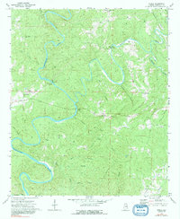
Other maps of this area

1891 · Ashland
USGS Topo · 1:125,000

1899 · Wedowee
USGS Topo · 1:125,000

1902 · Wedowee
USGS Topo · 1:125,000

1953 · Atlanta
USGS Topo · 1:250,000

1957 · Atlanta
USGS Topo · 1:250,000

1958 · Atlanta
USGS Topo · 1:250,000

1969 · Wadley North
USGS Topo · 1:24,000
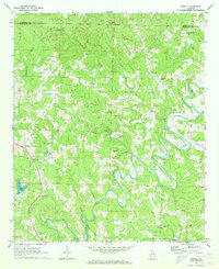
1969 · Newell
USGS Topo · 1:24,000
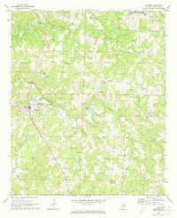
1969 · Wedowee
USGS Topo · 1:24,000

1969 · Mellow Valley
USGS Topo · 1:24,000