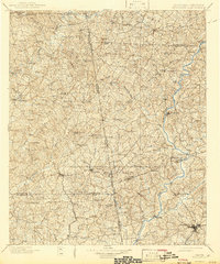
1969 Map of Wedowee
USGS Topo · Published 1973About this map
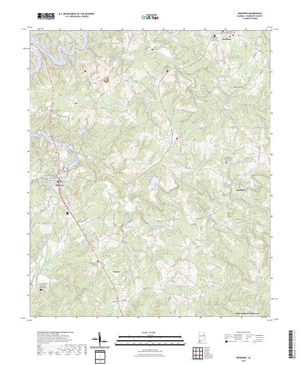
Wedowee serves as a central hub of this East Alabama landscape, where the County High Sch and a compact street grid give way to the winding course of Wedowee Creek. The 1969 terrain is defined by a dense network of country churches and family burial grounds, such as Zion Rest Ch and the Rocky Branch Cem, which anchor the rural communities of Tennant and Haywood. The landscape transitions from the higher elevations near Woodland in the north down toward the Tallapoosa River in the northwest. Local transportation and industry of the era are evidenced by a Landing Strip and numerous small water bodies including Barton Lake and Woodland Lake. The distribution of structures along the hollows and ridge lines reveals a settlement pattern tied closely to the many small waterways like Willingham Branch and Green Creek.
Find a feature on this map
43 named features on this map. Tap any name to fly to it.
Don’t see what you’re looking for? This feature index may not catch every label — zoom into the map to look around manually.
Map Details
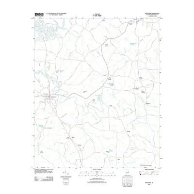
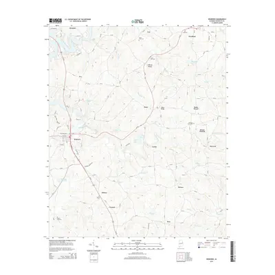
Editions of this 1969 Wedowee Map
This is the sole edition of this map. No revisions or reprints were ever made.
Historical Maps of Wedowee Through Time
8 maps found