2020s Maps of Russell County, Alabama
Explore 38 historic maps of Russell County from the 2020s. These maps offer a rare glimpse into what life looked like during the 2020s — showing old roads, neighborhoods, homes, and landmarks that have changed or disappeared over time.
Whether you're researching your family's past, planning a metal detecting trip, or studying how Russell County's landscape evolved across the 2020s, these high-resolution maps are a powerful tool for exploring the history of this region.
- Focus on a specific era: All maps on this page are from the 2020s, giving you a focused view of this time period.
- See what’s changed: Compare century-old streets, trails, and buildings to today's modern landscape using overlays and satellite layers.
- Research with precision: Use these maps for genealogy, historical research, land use analysis, or educational projects.
- View, download, or print: Maps are fully viewable online in high resolution, and can be downloaded or printed for your own records.
Start exploring Russell County's history through authentic maps from the 2020s. This is your window into the past.
Russell County, AL maps
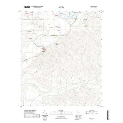
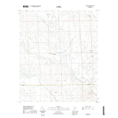
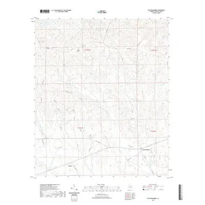
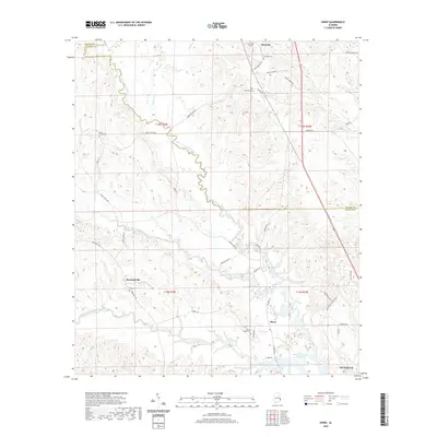
(38)- 2020 Map of Fort Benning, 2020 Print
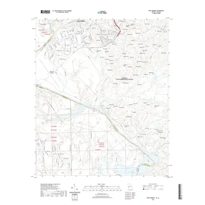 2020 Fort Benning2020 Print · USGSCovers Russell County, including Columbus, East Main Post, and other nearby areas
 - 2020 Map of Fortson, 2020 Print
 2020 Fortson2020 Print · USGSCovers Russell County, including Columbus, Phenix City, and other nearby areas
 - 2020 Map of Omaha, 2020 Print
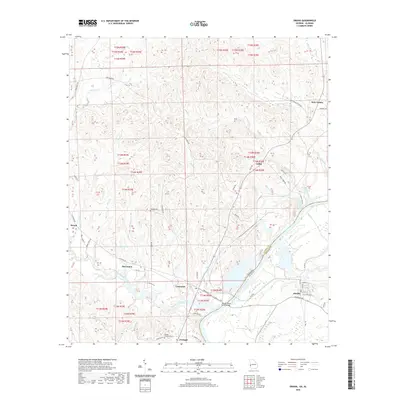 2020 Omaha2020 Print · USGSCovers Russell County, including Cottonton, Loflin, and other nearby areas
 - 2020 Map of Columbus, 2020 Print
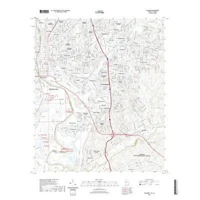 2020 Columbus2020 Print · USGSCovers Russell County, including Columbus, Phenix City, and other nearby areas
 - 2020 Map of Union, 2020 Print
 2020 Union2020 Print · USGSCovers Russell County, including Gillis Place, Heard Place, and other nearby areas
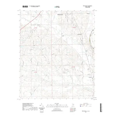
 - 2020 Map of Pittsview, 2020 Print
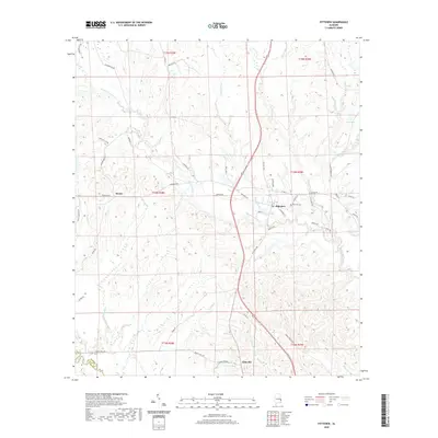 2020 Pittsview2020 Print · USGSCovers Russell County, including Hooks, Pittsview, and other nearby areas
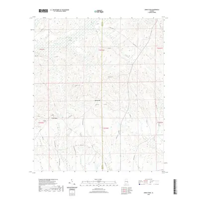
 - 2020 Map of Twin Springs, 2020 Print
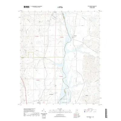 2020 Twin Springs2020 Print · USGSCovers Russell County, including Eufaula, Florence, and other nearby areas
 - 2020 Map of Hurtsboro, 2020 Print
 2020 Hurtsboro2020 Print · USGSCovers Russell County, including Hurtsboro, Enon, and other nearby areas
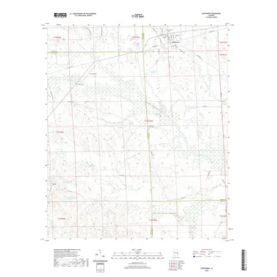
 - 2020 Map of Rutherford, 2020 Print
 2020 Rutherford2020 Print · USGSCovers Russell County, including Persons, Rutherford, and other nearby areas
 - 2020 Map of Seale, 2020 Print
 2020 Seale2020 Print · USGSCovers Russell County, including Dudleys, Sandfort, and other nearby areas
 - 2020 Map of Phenix City, 2020 Print
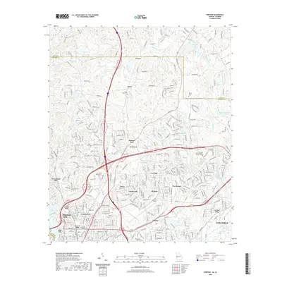
 2020 Phenix City2020 Print · USGSCovers Russell County, including Phenix City, Smiths Station, and other nearby areas
 - 2020 Map of Marvyn, 2020 Print
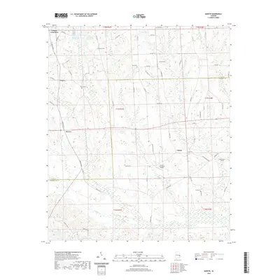 2020 Marvyn2020 Print · USGSCovers Russell County, including Whatley Cross Road, Marvyn, and other nearby areas
 - 2020 Map of Hatchechubbee, 2020 Print
 2020 Hatchechubbee2020 Print · USGSCovers Russell County, including Hatchechubbee, Uchee, and other nearby areas
 - 2020 Map of Fort Mitchell, 2020 Print
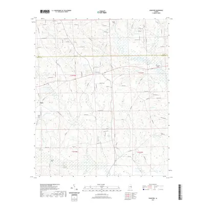
 2020 Fort Mitchell2020 Print · USGSCovers Russell County, including Phenix City, Nuckols, and other nearby areas
 - 2020 Map of Crawford, 2020 Print
 2020 Crawford2020 Print · USGSCovers Russell County, including Crawford, Hugley, and other nearby areas
 - 2020 Map of Creek Stand, 2020 Print
 2020 Creek Stand2020 Print · USGSCovers Russell County, including Boromville, Creek Stand, and other nearby areas
 - 2020 Map of Society Hill, 2020 Print
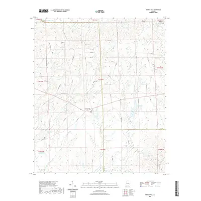 2020 Society Hill2020 Print · USGSCovers Russell County, including Society Hill, Lee County, and other nearby areas
 - 2020 Map of Howe, 2020 Print
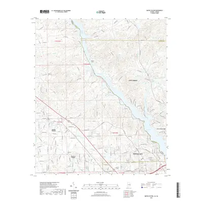
 2020 Howe2020 Print · USGSCovers Russell County, including Eufaula, Howe, and other nearby areas
 - 2020 Map of Smiths Station, 2020 Print
 2020 Smiths Station2020 Print · USGSCovers Russell County, including Columbus, Phenix City, and other nearby areas
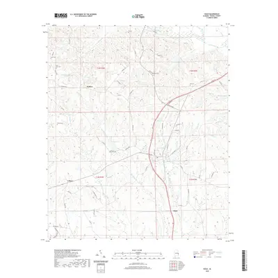
 - 2024 Map of Seale, 2024 Print
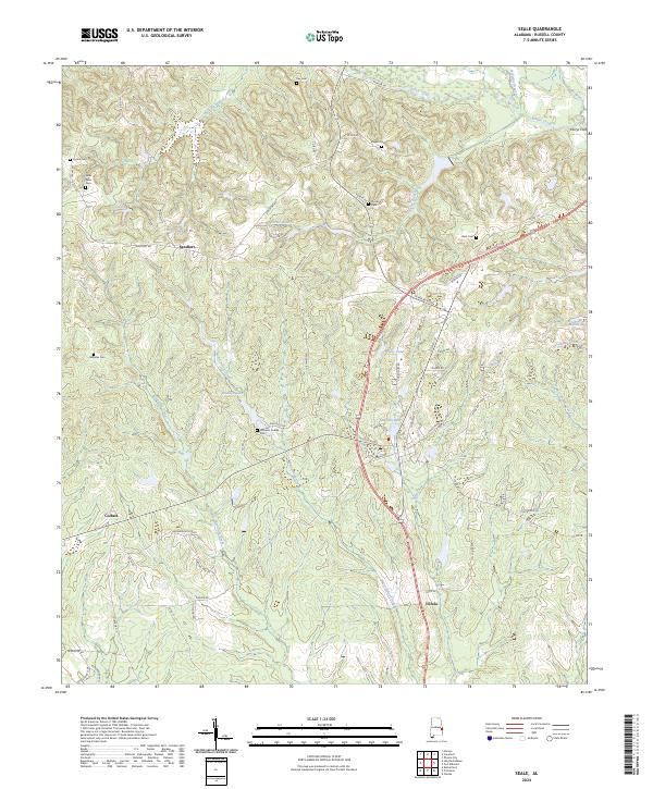 2024 Seale2024 Print · USGSRussell County's rural landscape is captured here in the early twenty-first century, showing the enduring structure of its local communities. Researchers can trace family history through numerous sites like Williams Dudley Cem, the crossing at Perrys Ford, and the crossroads at Sandfort.
 - 2024 Map of Phenix City, 2024 Print
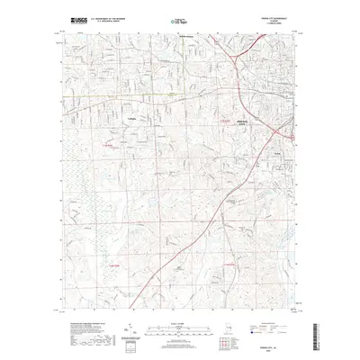
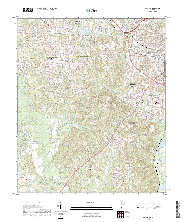 2024 Phenix City2024 Print · USGSPhenix City and the bordering Lee and Russell county lines are shown in modern detail during this recent survey. Local historians can trace family sites at Abercrombie Cem or Dudleyville Cem and follow the paths of Mill Creek and Cochgalechee Creek.
 - 2024 Map of Hurtsboro, 2024 Print
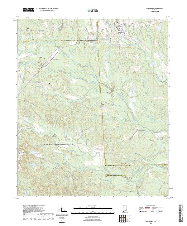 2024 Hurtsboro2024 Print · USGSThe borderlands of Russell, Bullock, Macon, and Barbour counties come together in this modern survey of eastern Alabama. Researchers can trace family roots at Hurtsboro Cem and Enon Cem or explore the drainage of Gowikee Creek.
 - 2024 Map of Society Hill, 2024 Print
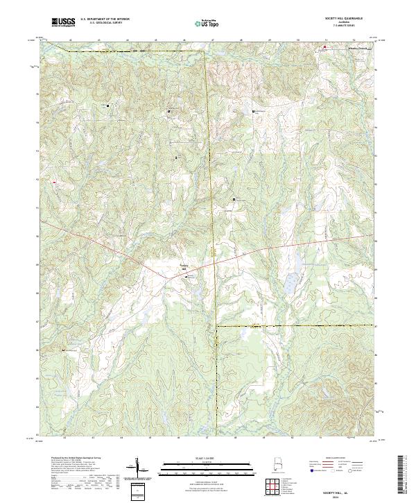 2024 Society Hill2024 Print · USGSSociety Hill and the tri-county borderlands of Macon, Lee, and Russell are documented here in their modern rural state. Researchers can trace family history through numerous remote burial sites like Bethel Baptist Cem and Cobbs Cem while navigating the creek-carved landscape of Opintlocco Creek.
 - 2024 Map of Fort Mitchell, 2024 Print
 2024 Fort Mitchell2024 Print · USGSThe Alabama-Georgia border near Fort Mitchell comes to life in this detailed survey of the local military and rural landscape. Genealogists can trace family connections at Saint John Cem and Oswichee Cem or explore the history of Lato and Perrys Ford.
 - 2024 Map of Crawford, 2024 Print
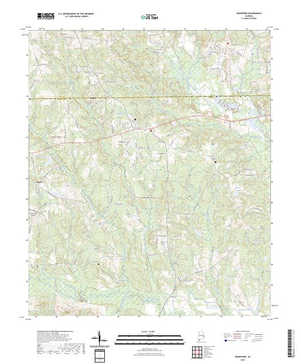 2024 Crawford2024 Print · USGSRussell County, Alabama, is shown here in the 2020s, defined by the convergence of Uchee Creek and Hospilika Creek. Researchers can trace local family lineages through Crawford Cem and Phillips-Barnett Cem, or locate the Finkley Farm Airport near Hugley.
Showing maps 1-25 of 38
Top cities of Russell County
Frequently asked questions
- What are the different types of historical maps available for Russell County?
- What is the oldest map of Russell County?
- Where can I purchase historical maps of Russell County for my home or office?
- Where can I download high-res historical maps of Russell County?
- Are there historical topographic maps available for Russell County?
- Is there historical aerial imagery available for Russell County?
- Where are historical maps of Russell County sourced from?