2000s (21st Century) Maps of Alabaster, Alabama
Explore 20 historic maps of Alabaster from the 2000s (21st Century). These maps offer a rare glimpse into what life looked like during the 2000s — showing old roads, neighborhoods, homes, and landmarks that have changed or disappeared over time.
Whether you're researching your family's past, planning a metal detecting trip, or studying how Alabaster's landscape evolved across the 2000s, these high-resolution maps are a powerful tool for exploring the history of this region.
- Focus on a specific era: All maps on this page are from the 2000s, giving you a focused view of this time period.
- See what’s changed: Compare century-old streets, trails, and buildings to today's modern landscape using overlays and satellite layers.
- Research with precision: Use these maps for genealogy, historical research, land use analysis, or educational projects.
- View, download, or print: Maps are fully viewable online in high resolution, and can be downloaded or printed for your own records.
Start exploring Alabaster's history through authentic maps from the 2000s. This is your window into the past.
Alabaster, AL maps
(20)- 2011 Map of Bounds Lake, 2011 Print
 2011 Bounds Lake2011 Print · USGSCovers Alabaster, including Calera, Chelsea, and other nearby areas
 - 2011 Map of Alabaster, 2011 Print
 2011 Alabaster2011 Print · USGSCovers Alabaster, including Pelham, Helena, and other nearby areas
 - 2011 Map of Pea Ridge, 2011 Print
 2011 Pea Ridge2011 Print · USGSCovers Alabaster, including Helena, Pea Ridge, and other nearby areas
 - 2011 Map of Helena, 2011 Print
 2011 Helena2011 Print · USGSCovers Alabaster, including Hoover, Bessemer, and other nearby areas
 - 2014 Map of Pea Ridge, 2014 Print
 2014 Pea Ridge2014 Print · USGSCovers Alabaster, including Helena, Pea Ridge, and other nearby areas
 - 2014 Map of Helena, 2014 Print
 2014 Helena2014 Print · USGSCovers Alabaster, including Hoover, Bessemer, and other nearby areas
 - 2014 Map of Alabaster, 2014 Print
 2014 Alabaster2014 Print · USGSCovers Alabaster, including Pelham, Helena, and other nearby areas
 - 2014 Map of Bounds Lake, 2014 Print
 2014 Bounds Lake2014 Print · USGSCovers Alabaster, including Calera, Chelsea, and other nearby areas
 - 2018 Map of Bounds Lake, 2018 Print
 2018 Bounds Lake2018 Print · USGSCovers Alabaster, including Calera, Chelsea, and other nearby areas
 - 2018 Map of Pea Ridge, 2018 Print
 2018 Pea Ridge2018 Print · USGSCovers Alabaster, including Helena, Pea Ridge, and other nearby areas
 - 2018 Map of Alabaster, 2018 Print
 2018 Alabaster2018 Print · USGSCovers Alabaster, including Pelham, Helena, and other nearby areas
 - 2018 Map of Helena, 2018 Print
 2018 Helena2018 Print · USGSCovers Alabaster, including Hoover, Bessemer, and other nearby areas
 - 2020 Map of Alabaster, 2020 Print
 2020 Alabaster2020 Print · USGSCovers Alabaster, including Pelham, Helena, and other nearby areas
 - 2020 Map of Helena, 2020 Print
 2020 Helena2020 Print · USGSCovers Alabaster, including Hoover, Bessemer, and other nearby areas
 - 2020 Map of Pea Ridge, 2020 Print
 2020 Pea Ridge2020 Print · USGSCovers Alabaster, including Helena, Pea Ridge, and other nearby areas
 - 2020 Map of Bounds Lake, 2020 Print
 2020 Bounds Lake2020 Print · USGSCovers Alabaster, including Calera, Chelsea, and other nearby areas
 - 2024 Map of Bounds Lake, 2024 Print
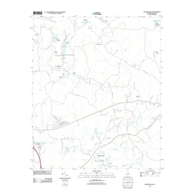
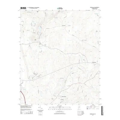
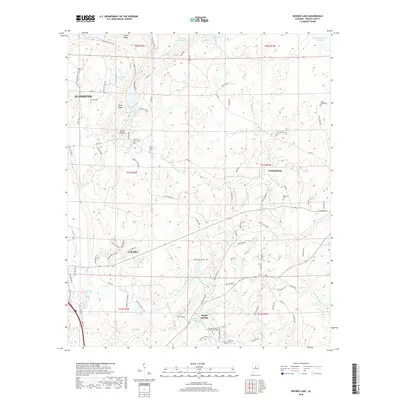
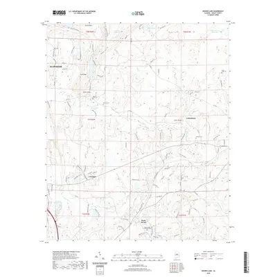
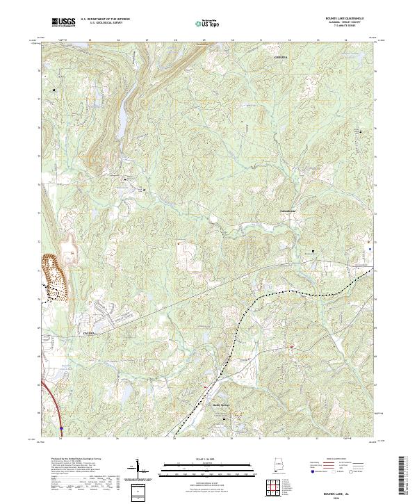 2024 Bounds Lake2024 Print · USGSThe rural landscape of Shelby County is shown in detail during the early 2020s, centered on the area between Chelsea and Shelby Springs. Genealogists can locate several historic burial grounds, such as the Shelby Springs Confederate Cem and Old Lynch Cem, near landmarks like Thomas Gap.
 - 2024 Map of Pea Ridge, 2024 Print
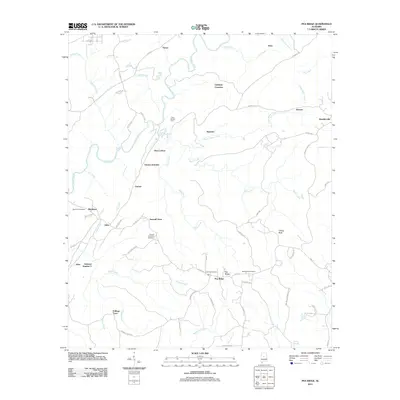
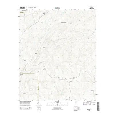
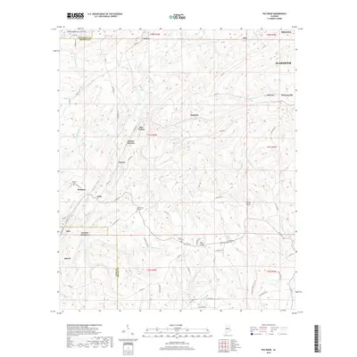
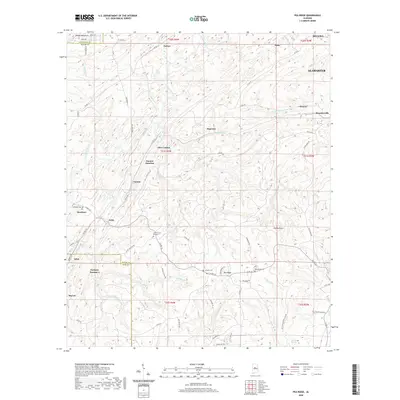
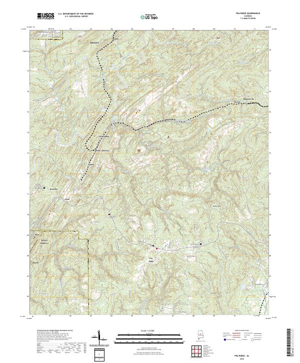 2024 Pea Ridge2024 Print · USGSShelby County in the early twenty-first century remains a landscape of deep historical roots, where modern growth meets old mining towns. Genealogists can trace family locations at Boothton Cem and Linholm Cem or explore the sites of Glen Carbon and Gurnee.
 - 2024 Map of Alabaster, 2024 Print
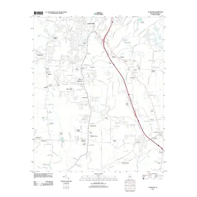
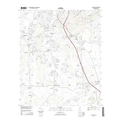
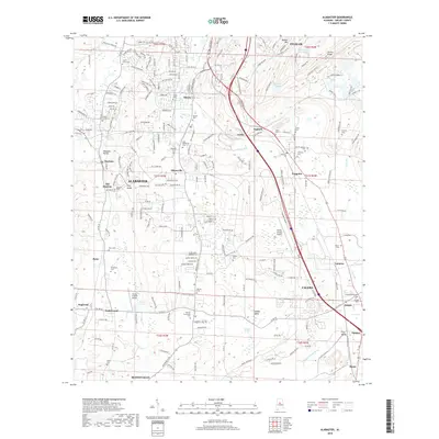
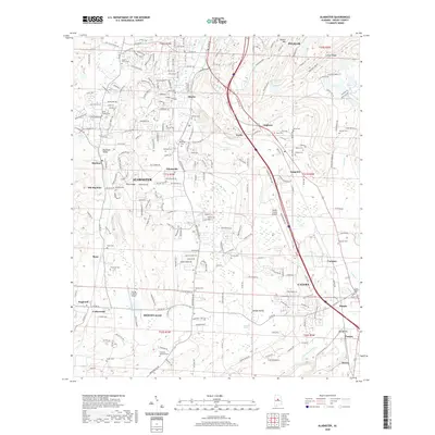
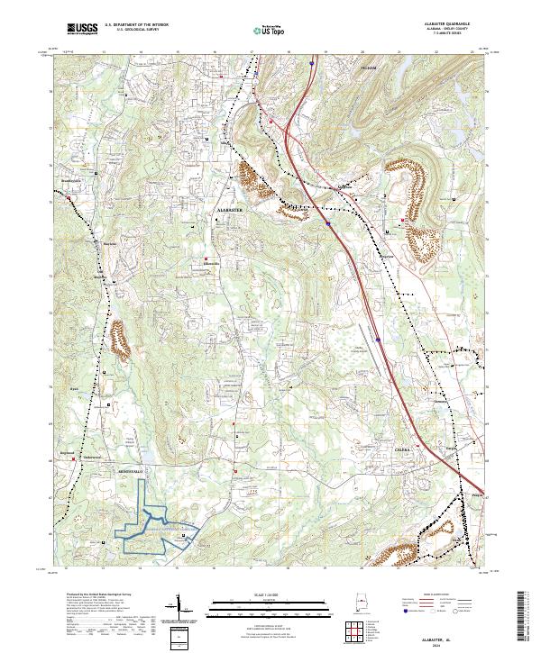 2024 Alabaster2024 Print · USGSShelby County at the present day shows the rapid growth between the urban hubs of Alabaster and Calera. Trace your family history through landmarks like Siluria, the Alabama National Cemetery, and the Nabors Cem.
 - 2024 Map of Helena, 2024 Print
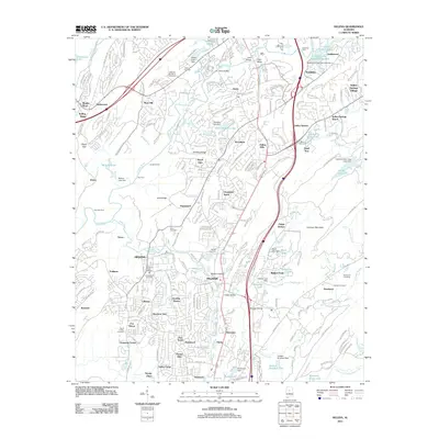
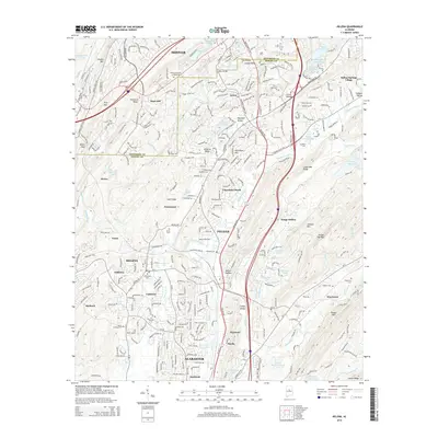
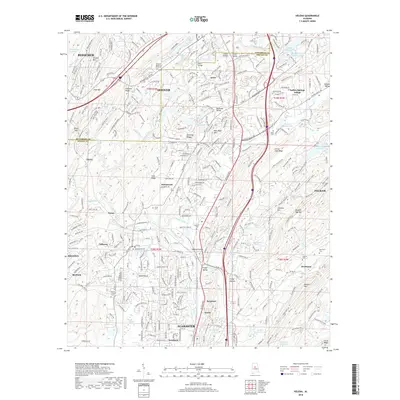
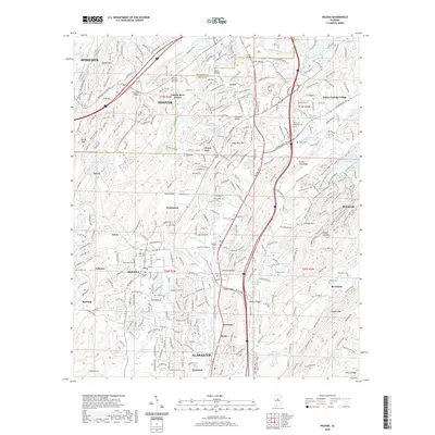
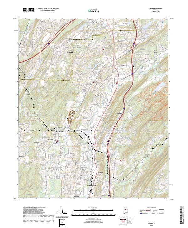 2024 Helena2024 Print · USGSThe growing corridor between Helena and Alabaster is documented here during a period of rapid suburban expansion. Local historians can trace the evolution of the Cahaba River valley, locating established landmarks like Helena Cem, Acton, and New Hope Mountain.
End of results
Showing maps 1-20 of 20
Top cities near Alabaster
- Birmingham historical maps
- Hoover historical maps
- Hoover historical maps
- Vestavia Hills historical maps
- Homewood historical maps
- Bessemer historical maps
See more
Top neighborhoods of Alabaster
- Mission Hills historical maps
- Navajo Hills historical maps
- Port South historical maps
- Maylene historical maps
- Navajo Pines historical maps
- Longview historical maps
See more
Frequently asked questions
- What are the different types of historical maps available for Alabaster?
- What is the oldest map of Alabaster?
- Where can I purchase historical maps of Alabaster for my home or office?
- Where can I download high-res historical maps of Alabaster?
- Are there historical topographic maps available for Alabaster?
- Is there historical aerial imagery available for Alabaster?
- Where are historical maps of Alabaster sourced from?