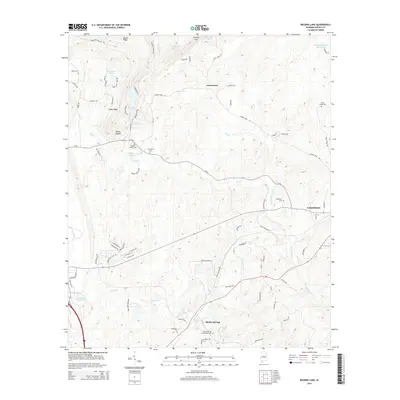
2014 Map of Bounds Lake
USGS Topo · Published 2014About this map
Shelby Springs anchors the southern portion of this landscape, a site historically significant for its mineral waters and as the location of the Shelby Springs Confederate Cem. The terrain is defined by a series of north-south ridges including Locust Ridge and Stony Ridge, which separate the various drainage basins of Big Cr and Wolf Cr. Small rural settlements like Joinertown and the western edge of Columbiana are connected by a network of county roads such as Joiner Town Rd and Rocky Ridge Rd. The area is notably dotted with small private lakes and reservoirs, including Bounds Lake, Kimberly Clark Lake, and Green Valley Lake, reflecting a pattern of modern residential and recreational development among the hollows like Butler Hollow. Genealogists will find several remote burial sites, including the Old Lynch Cem and the uniquely named Nearest Grave Cem.
Find a feature on this map
87 named features on this map. Tap any name to fly to it.
Don’t see what you’re looking for? This feature index may not catch every label — zoom into the map to look around manually.
Map Details
Editions of this 2014 Bounds Lake Map
This is the sole edition of this map. No revisions or reprints were ever made.
Other maps of this area

1890 · Bessemer
USGS Topo · 1:125,000

1892 · Bessemer
USGS Topo · 1:125,000

1905 · Bessemer Iron District
USGS Topo · 1:62,500

1906 · Vandiver
USGS Topo · 1:62,500

1907 · Bessemer Special
USGS Topo · 1:62,500

1908 · Vandiver
USGS Topo · 1:62,500

1909 · Columbiana
USGS Topo · 1:62,500

1910 · Montevallo
USGS Topo · 1:62,500

1911 · Columbiana
USGS Topo · 1:62,500

1953 · Birmingham
USGS Topo · 1:250,000