2020s Maps of Chelsea, Alabama
Explore 10 historic maps of Chelsea from the 2020s. These maps offer a rare glimpse into what life looked like during the 2020s — showing old roads, neighborhoods, homes, and landmarks that have changed or disappeared over time.
Whether you're researching your family's past, planning a metal detecting trip, or studying how Chelsea's landscape evolved across the 2020s, these high-resolution maps are a powerful tool for exploring the history of this region.
- Focus on a specific era: All maps on this page are from the 2020s, giving you a focused view of this time period.
- See what’s changed: Compare century-old streets, trails, and buildings to today's modern landscape using overlays and satellite layers.
- Research with precision: Use these maps for genealogy, historical research, land use analysis, or educational projects.
- View, download, or print: Maps are fully viewable online in high resolution, and can be downloaded or printed for your own records.
Start exploring Chelsea's history through authentic maps from the 2020s. This is your window into the past.
Chelsea, AL maps
(10)- 2020 Map of Chelsea, 2020 Print
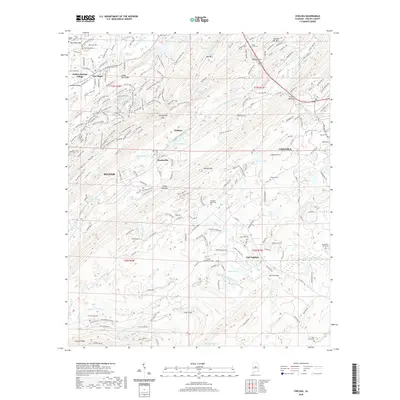 2020 Chelsea2020 Print · USGSCovers Chelsea, including Pelham, Highland Lakes, and other nearby areas
 - 2020 Map of Westover, 2020 Print
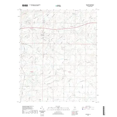 2020 Westover2020 Print · USGSCovers Chelsea, including Westover, Yellowleaf Creek Estates, and other nearby areas
 - 2020 Map of Bounds Lake, 2020 Print
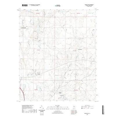 2020 Bounds Lake2020 Print · USGSCovers Chelsea, including Alabaster, Calera, and other nearby areas
 - 2020 Map of Columbiana, 2020 Print
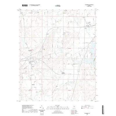 2020 Columbiana2020 Print · USGSCovers Chelsea, including Columbiana, Wilsonville, and other nearby areas
 - 2020 Map of Cahaba Heights, 2020 Print
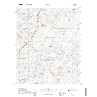 2020 Cahaba Heights2020 Print · USGSCovers Chelsea, including Birmingham, Hoover, and other nearby areas
 - 2024 Map of Bounds Lake, 2024 Print
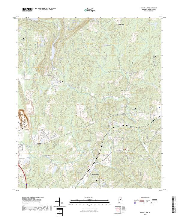 2024 Bounds Lake2024 Print · USGSThe rural landscape of Shelby County is shown in detail during the early 2020s, centered on the area between Chelsea and Shelby Springs. Genealogists can locate several historic burial grounds, such as the Shelby Springs Confederate Cem and Old Lynch Cem, near landmarks like Thomas Gap.
 - 2024 Map of Chelsea, 2024 Print
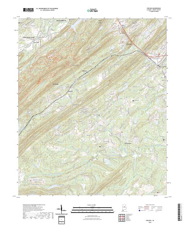 2024 Chelsea2024 Print · USGSShelby County transitions from rural ridges to bustling suburban corridors in this modern survey of the Alabama landscape. Genealogists and researchers can pinpoint family landmarks like Mose Davis Cem, Vick Cem, and the old rail stop at Chelsea Station.
 - 2024 Map of Westover, 2024 Print
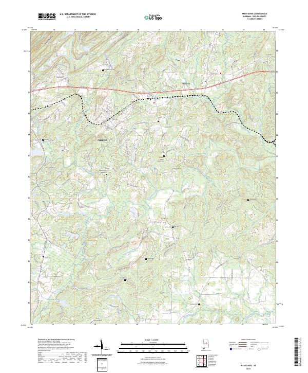 2024 Westover2024 Print · USGSShelby County transitions from residential growth to traditional rural valleys in this recent look at the Westover and Chelsea corridor. You can locate family history markers at Walton Cem and Florence Cem or trace the winding course of Yellowleaf Creek.
 - 2024 Map of Columbiana, 2024 Print
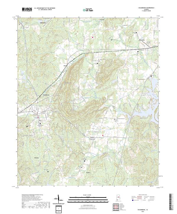 2024 Columbiana2024 Print · USGSAlabama's Shelby County foothills are captured here in the modern era, showing the intersection of local government and rural life. Genealogists and historians can trace family locations near Kingdom Crossroads, Columbiana Cem, and the historic Shelby County Courthouse.
 - 2024 Map of Cahaba Heights, 2024 Print
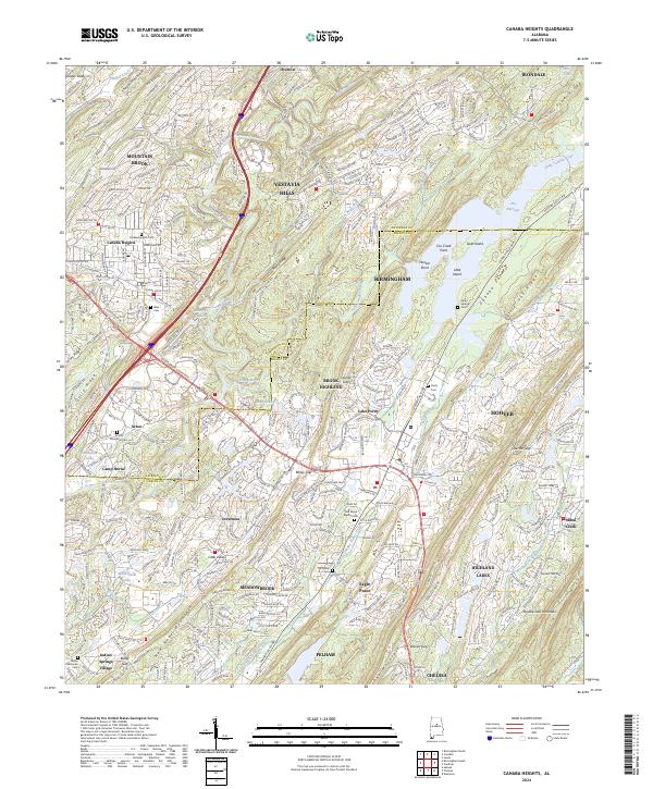 2024 Cahaba Heights2024 Print · USGSSuburban Birmingham and the Cahaba River valley are shown here in the mid-2020s, highlighting the ridge-and-valley landscape of Shelby and Jefferson counties. Researchers can locate numerous family burial sites like Wise Cem and McDaniel Cem, or trace the winding Old Florida Short Rte.
End of results
Showing maps 1-10 of 10
Top cities near Chelsea
- Birmingham historical maps
- Hoover historical maps
- Hoover historical maps
- Vestavia Hills historical maps
- Alabaster historical maps
- Homewood historical maps
See more
Top neighborhoods of Chelsea
Frequently asked questions
- What are the different types of historical maps available for Chelsea?
- What is the oldest map of Chelsea?
- Where can I purchase historical maps of Chelsea for my home or office?
- Where can I download high-res historical maps of Chelsea?
- Are there historical topographic maps available for Chelsea?
- Is there historical aerial imagery available for Chelsea?
- Where are historical maps of Chelsea sourced from?