Old Maps of Pelham, Alabama for Metal Detecting
Plan your next treasure hunt with 41 historic maps of Pelham. Find old homesites, ghost towns, trails, and gathering spots that may be lost to time — perfect for identifying promising metal detecting locations.
- Locate forgotten sites: Uncover places like long-lost settlements, abandoned rail lines, or gathering spots.
- Plan better hunts: Use map overlays combined with LiDAR or satellite views to narrow in on historically rich areas.
- Made for detectorists: Thousands of hobbyists use these maps to discover relics, coins, and hidden history.
Use these historic maps to boost your research and find new opportunities beneath the surface of Pelham.
Pelham, AL maps
(41)- 1890 Map of Bessemer
 1890 Bessemer1890 Print · USGSCentral Alabama emerges as an industrial powerhouse in the late nineteenth century as railroads weave through the ridges of Jefferson and Shelby counties. Genealogists and historians can trace the early footprints of Bessemer, the iron operations at Sloss, and remote landmarks like Woods Ferry.
 - 1892 Map of Bessemer
 1892 Bessemer1892 Print · USGSCentral Alabama was at its industrial peak in the late nineteenth century as railroads and iron mines transformed the ridges south of Birmingham. Genealogists and researchers can trace the early foundations of Bessemer, the operations at Smith Mine, and rural crossings like Nunley's Ford.2 unique versions available
 - 1905 Map of Bessemer Iron District
 1905 Bessemer Iron District1905 Print · USGSJefferson County was at the peak of its iron-mining boom at the turn of the century, centered on the dense rail networks of Bessemer. Genealogists and industrial historians can trace old residential pockets like Wylam and Brighton alongside the Spaulding Mine and numerous rural river crossings.3 unique versions available
 - 1906 Map of Vandiver, 1954 Print
 1906 Vandiver1954 Print · USGSShelby and Jefferson counties appear as a network of high ridges and rural valley settlements at the turn of the century. Genealogists can trace family landmarks like Hays Crossroads, Tinney Mill, and the Cave Spring School among the mountains.
 - 1907 Map of Bessemer Special
 1907 Bessemer Special1907 Print · USGSJefferson County industrial development is at its peak in the first decade of the century, centered on the heavy rail networks of the Jones Valley. Genealogists and historians can trace early community centers like Hopewell Church and Canaan Church alongside mining sites at Redding and Ware.4 unique versions available
 - 1908 Map of Vandiver
 1908 Vandiver1908 Print · USGSShelby and Jefferson Counties are shown here during a period of mountain-gap settlement and early industrial growth. Trace family roots at Cave Spring School, find old river crossings like De Shazo Mill Ford, and locate the Coosa Tunnel.3 unique versions available
 - 1910 Map of Montevallo
 1910 Montevallo1910 Print · USGSCentral Alabama’s coal and iron corridor is captured here at a peak of industrial expansion. Researchers can trace the heritage of vanished mining camps and family landmarks from Boothon to the Bibb Furnace (RUINS) and Sessions Chapel.4 unique versions available
 - 1953 Map of Birmingham, 1964 Print
 1953 Birmingham1964 Print · USGSCentral Alabama at mid-century shows a landscape defined by industrial expansion and the iron-rich ridges surrounding Birmingham. Researchers can trace the extensive rail networks of the L & N RR or locate historic federal sites like the Anniston Ordnance Depot.4 unique versions available
 - 1956 Map of Birmingham
 1956 Birmingham1956 Print · USGSCentral Alabama in the mid-fifties exhibits a landscape of growing cities and deep-rooted industrial corridors. Genealogists and historians can trace the development of suburban Mountain Brook or locate regional hubs like Sylacauga and Jasper.
 - 1957 Map of Birmingham
 1957 Birmingham1957 Print · USGSNorth-Central Alabama in the mid-fifties is an industrial powerhouse centered on the steel valleys and sprawling iron ridges. Genealogists and historians can trace the rail-linked growth of Birmingham and Tuscaloosa, or locate rural landmarks like Talladega College and the Anniston Ordnance Depot.
 - 1959 Map of Cahaba Heights, 1960 Print
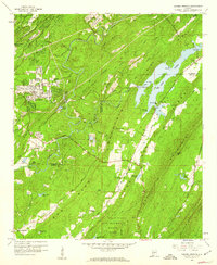 1959 Cahaba Heights1960 Print · USGSShelby and Jefferson Counties come alive in this late-fifties survey of the ridges and valleys south of Birmingham. Genealogists can locate family landmarks like Wooten Chapel Cem and Harris Cem alongside the expanding community of Cahaba Heights.5 unique versions available
 - 1959 Map of Helena, 1960 Print
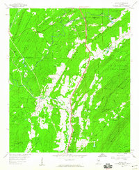 1959 Helena1960 Print · USGSShelby County's ridge-and-valley landscape in the late fifties shows a region balanced between railroad industry and new growth. Genealogists and researchers can trace old family sites at Cumberland Cem, the location of Piney Grove Ch, and the grounds of Indian Springs Sch.7 unique versions available
 - 1959 Map of Chelsea, 1960 Print
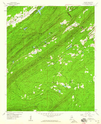 1959 Chelsea1960 Print · USGSShelby County's ridges and gaps are captured here in the late fifties, showcasing the rural landscape before modern suburban expansion. Genealogists and hikers can trace the original footprints of Simmsville, New Hope Sch, and the rugged corridors of The Narrows.7 unique versions available
 - 1975 Map of Cahaba Heights, 1977 Print
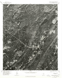 1975 Cahaba Heights1977 Print · USGSThe suburbs of Shelby County are frozen in the mid-seventies, showing the transition from wooded ridges to residential neighborhoods. Researchers can trace the early footprints of Mountain Brook and the growing streets of Cahaba Heights as they looked decades ago.
 - 1975 Map of Helena, 1977 Print
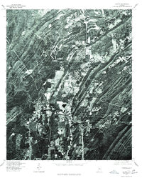 1975 Helena1977 Print · USGSShelby County emerges in the mid-seventies in this aerial survey, showing the landscape just as suburban growth began to take hold. Researchers can trace the original footprint of Helena and follow the winding course of the Cahaba River.
 - 1975 Map of Montevallo NE, 1977 Print
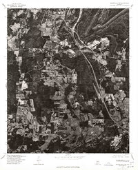 1975 Montevallo NE1977 Print · USGSShelby County enters a period of industrial and residential transition during the mid-seventies. Trace the development of Alabaster and the rural crossroads of Saginaw and Dogwood through detailed aerial imagery.
 - 1975 Map of Chelsea, 1977 Print
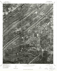 1975 Chelsea1977 Print · USGSShelby County land patterns are captured in high-detail aerial imagery during the mid-seventies, showing the region before major modern expansion. Genealogists and local historians can trace early property boundaries and road networks around Chelsea and New Hope.
 - 1980 Map of Alabaster
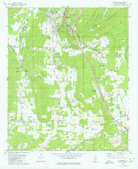 1980 Alabaster1980 Print · USGSShelby County at the start of the 1980s reveals a landscape of limestone mining and growing rural settlements along the rail lines. Researchers can trace family sites like Benton Cem, small communities at Elliotsville, and the Flying X Ranch Landing Strip.3 unique versions available
 - 1984 Map of Birmingham South, 1985 Print
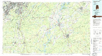 1984 Birmingham South1985 Print · USGSThe Birmingham metropolitan region and the Coosa River valley are shown here in the mid-eighties as suburban growth expanded south into the ridges. Genealogists and local historians can trace the development of communities from Bessemer to Sylacauga alongside the Lay Lake shoreline and the Talladega National Forest.2 unique versions available
 - 1997 Map of Helena, 2001 Print
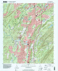 1997 Helena2001 Print · USGSThe Shelby County hills in the late nineties show a landscape of rapid growth along the Cababa River corridor. Researchers can trace the development of Helena and Pelham alongside local landmarks like Mars Hill Ch and the Scottrock Quarry.
 - 1998 Map of Cahaba Heights, 2001 Print
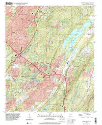 1998 Cahaba Heights2001 Print · USGSGreater Birmingham saw significant suburban growth into the ridges of Shelby County during the late twentieth century. Researchers can trace local lineage and land use through landmarks like Wooten Chapel Cem, the Strip Mine at Acton, and Lake Purdy.
 - 2011 Map of Alabaster, 2011 Print
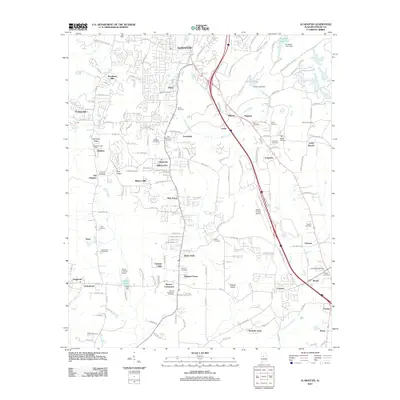 2011 Alabaster2011 Print · USGSAlabaster and Shelby County are depicted here in a period of significant growth and residential expansion. Researchers can trace numerous family burial sites such as Siluria Cemetery and Nelson Cemetery alongside the developing Cahaba Valley.
 - 2011 Map of Cahaba Heights, 2011 Print
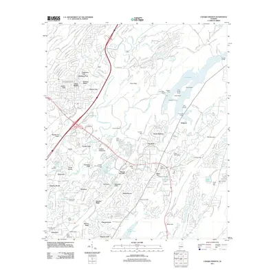 2011 Cahaba Heights2011 Print · USGSThe Cahaba River corridor south of Birmingham shows a landscape of deep ridges and modern expansion in the early twenty-first century. Researchers can trace the heritage of the river at De Shazoo Mill Ford or locate family markers at Bold Springs Cemetery and McDaniel Cemetery.
 - 2011 Map of Helena, 2011 Print
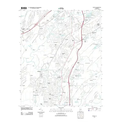 2011 Helena2011 Print · USGSThe Cahaba River valley in the early 21st century shows a landscape transitioning from traditional river crossings to dense suburban growth. Researchers can trace family history at the David Lindsay Cemetery or locate old crossings like Nunnally Ford and Langston Ford.
 - 2011 Map of Chelsea, 2011 Print
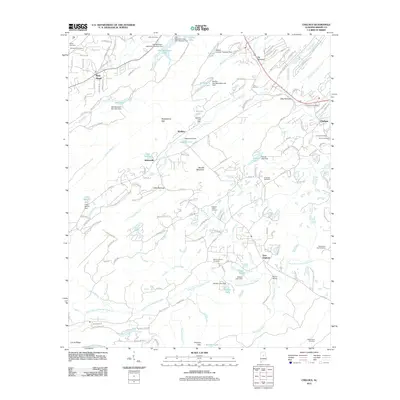 2011 Chelsea2011 Print · USGSShelby County transitions from industrial roots to suburban growth in this contemporary topographic look at the Alabama foothills. Researchers can locate numerous local burial grounds like Old Acton Cemetery and Pleasant Valley Cemetery or trace the drainage of South Fork Yellowleaf Creek.
Showing maps 1-25 of 41
Top cities near Pelham
- Birmingham historical maps
- Hoover historical maps
- Hoover historical maps
- Vestavia Hills historical maps
- Alabaster historical maps
- Homewood historical maps
See more
Top neighborhoods of Pelham
- Blueberry Estates historical maps
- Deer Springs Estates historical maps
- Hardy historical maps
- Little Oak Ridge Estates historical maps
- Mallard Point historical maps
- Royal Oaks historical maps
See more
Frequently asked questions
- What are the different types of historical maps available for Pelham?
- What is the oldest map of Pelham?
- Where can I purchase historical maps of Pelham for my home or office?
- Where can I download high-res historical maps of Pelham?
- Are there historical topographic maps available for Pelham?
- Is there historical aerial imagery available for Pelham?
- Where are historical maps of Pelham sourced from?