Old Maps of Cuba, Alabama for Metal Detecting
Plan your next treasure hunt with 16 historic maps of Cuba. Find old homesites, ghost towns, trails, and gathering spots that may be lost to time — perfect for identifying promising metal detecting locations.
- Locate forgotten sites: Uncover places like long-lost settlements, abandoned rail lines, or gathering spots.
- Plan better hunts: Use map overlays combined with LiDAR or satellite views to narrow in on historically rich areas.
- Made for detectorists: Thousands of hobbyists use these maps to discover relics, coins, and hidden history.
Use these historic maps to boost your research and find new opportunities beneath the surface of Cuba.
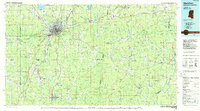
Cuba, AL maps
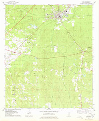
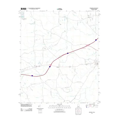
(16)- 1953 Map of Meridian, 1966 Print
 1953 Meridian1966 Print · USGSEast Central Mississippi and the Alabama borderlands are captured here during a period of steady growth and infrastructure expansion. Genealogists and historians can trace rail-town development along the Gulf Mobile & Ohio Railroad and find early settlements like Scooba, Pelahatchie, and De Kalb.2 unique versions available
 - 1957 Map of Meridian
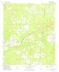
 1957 Meridian1957 Print · USGSEast Central Mississippi and parts of Western Alabama come alive in the mid-1950s, centered on the transit hub of Meridian. Researchers can trace old rail lines like the Illinois Central and find historic sites such as the Choctaw Indian Reservation and Roosevelt State Park.
 - 1965 Map of Meridian
 1965 Meridian1965 Print · USGSEast Mississippi and West Alabama are mapped here in the mid-sixties as the region's modern highway and reservoir systems began to take shape. Researchers can trace rural lineages through local landmarks like Prince Chapel and Tuscahoma Landing, or follow the historic Gulf Mobile & Ohio rail lines.
 - 1974 Map of York, 1978 Print
 1974 York1978 Print · USGSSumter County in the mid-seventies shows a landscape of timbered hills and rail junctions centered on the hub of York. Researchers can trace old family sites and rural landmarks like the Kinterbish Jr High Sch, Siloam Ch, and the Rumley Lookout Tower.
 - 1974 Map of Kewanee, 1978 Print
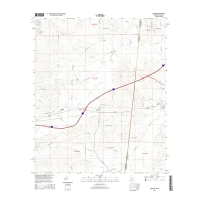
 1974 Kewanee1978 Print · USGSThe Mississippi-Alabama borderlands in the 1970s show a landscape of rural communities and evolving infrastructure between Kewanee and Cuba. Genealogists and historians can trace family-named sites like Bethel Cemetery or the local Sweet Pilgrim Ch and Morning Star Ch.
 - 1984 Map of Meridian
 1984 Meridian1984 Print · USGSEastern Mississippi and Western Alabama come alive in the mid-1980s, showing the expansion of Meridian and the surrounding timber and river lands. Genealogists and researchers can trace family landmarks like Memorial Park Cem, the Pine Springs church, and the rural roads near Kewanee.3 unique versions available
 - 2011 Map of York, 2011 Print
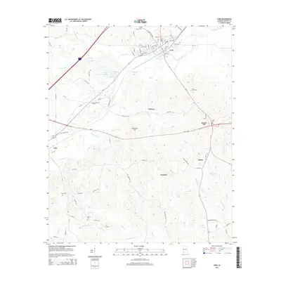
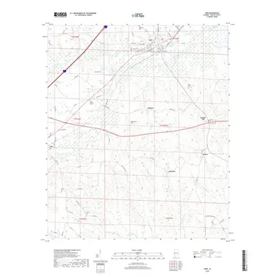
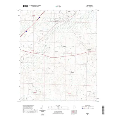
 2011 York2011 Print · USGSCovers Cuba, including York, Scratch Hill, and other nearby areas
 - 2012 Map of Kewanee, 2012 Print
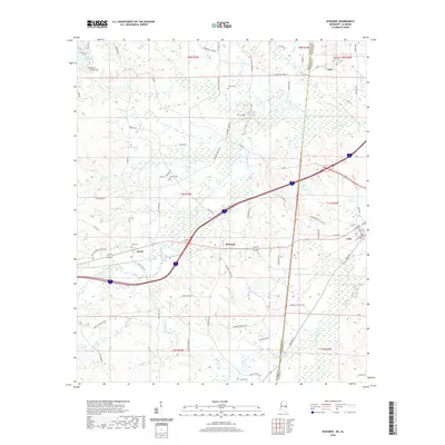
 2012 Kewanee2012 Print · USGSCovers Cuba, including Dove, Kewanee, and other nearby areas
 - 2014 Map of York, 2014 Print
 2014 York2014 Print · USGSCovers Cuba, including York, Scratch Hill, and other nearby areas
 - 2015 Map of Kewanee, 2015 Print
 2015 Kewanee2015 Print · USGSCovers Cuba, including Dove, Kewanee, and other nearby areas
 - 2018 Map of Kewanee, 2018 Print
 2018 Kewanee2018 Print · USGSCovers Cuba, including Dove, Kewanee, and other nearby areas
 - 2018 Map of York, 2018 Print
 2018 York2018 Print · USGSCovers Cuba, including York, Scratch Hill, and other nearby areas
 - 2020 Map of York, 2020 Print
 2020 York2020 Print · USGSCovers Cuba, including York, Scratch Hill, and other nearby areas
 - 2020 Map of Kewanee, 2020 Print
 2020 Kewanee2020 Print · USGSCovers Cuba, including Dove, Kewanee, and other nearby areas
 - 2024 Map of Kewanee, 2024 Print
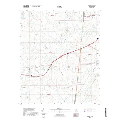
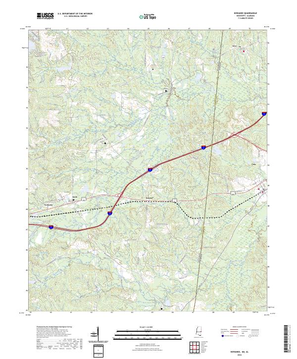 2024 Kewanee2024 Print · USGSThe Mississippi and Alabama borderlands are captured here in the mid-2020s, showing the rural communities of Lauderdale and Sumter counties. Genealogists can locate several local burial grounds including Morning Star Cem, Pack Cem, and Bethel Cem.
 - 2024 Map of York, 2024 Print
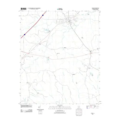
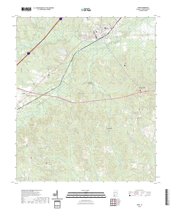 2024 York2024 Print · USGSSumter County at the modern day reveals a landscape of enduring rural settlements and intricate waterways. Genealogists can trace family footprints at York Cem, McElroy Cem, and the small community of Scratch Hill near the winding Brockway Creek.
End of results
Showing maps 1-16 of 16
Top cities near Cuba
Frequently asked questions
- What are the different types of historical maps available for Cuba?
- What is the oldest map of Cuba?
- Where can I purchase historical maps of Cuba for my home or office?
- Where can I download high-res historical maps of Cuba?
- Are there historical topographic maps available for Cuba?
- Is there historical aerial imagery available for Cuba?
- Where are historical maps of Cuba sourced from?