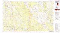
Old Maps of Livingston, Alabama for Hiking & Exploration
Hike through history with 18 historic maps of Livingston. Explore old trails, ghost towns, and forgotten backroads — perfect for outdoor adventurers and local explorers.
- Rediscover forgotten places: Map out old mining camps, roads, and footpaths that no longer exist on modern maps.
- Layer with modern tools: Combine with LiDAR or satellite views to plan hikes through historical terrain.
- Made for exploration: Popular among hikers, overlanders, and local history lovers.
Use these maps to find adventure and explore the hidden past of Livingston.
Livingston, AL maps
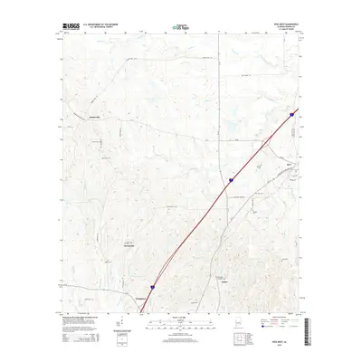
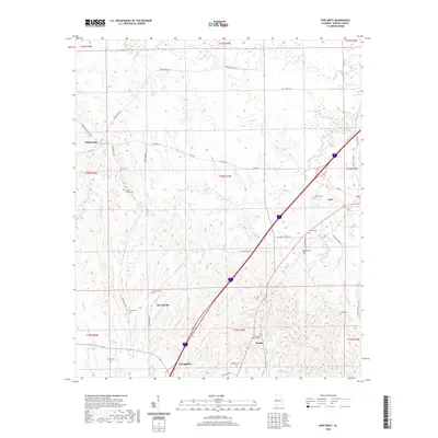
(18)- 1929 Map of Epes
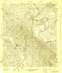 1929 Epes1929 Print · USGSThe Tombigbee and Sucarnoochee rivers meet in this 1920s portrait of West Alabama. Genealogists can trace family roots at Livingston or search for old schoolhouses like the Ezell Sch and rural landmarks like Hixon Switch.
 - 1932 Map of Epes
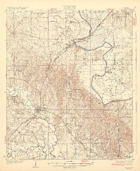 1932 Epes1932 Print · USGSSumter and Greene counties are shown in the early 1930s as the regional economy relied heavily on the Southern Railway and river transport. Genealogists can locate family landmarks like Wesley Chapel, Hillman Ferry, and the Industrial School.4 unique versions available
 - 1953 Map of Meridian, 1966 Print
 1953 Meridian1966 Print · USGSEast Central Mississippi and the Alabama borderlands are captured here during a period of steady growth and infrastructure expansion. Genealogists and historians can trace rail-town development along the Gulf Mobile & Ohio Railroad and find early settlements like Scooba, Pelahatchie, and De Kalb.2 unique versions available
 - 1957 Map of Meridian
 1957 Meridian1957 Print · USGSEast Central Mississippi and parts of Western Alabama come alive in the mid-1950s, centered on the transit hub of Meridian. Researchers can trace old rail lines like the Illinois Central and find historic sites such as the Choctaw Indian Reservation and Roosevelt State Park.
 - 1965 Map of Meridian
 1965 Meridian1965 Print · USGSEast Mississippi and West Alabama are mapped here in the mid-sixties as the region's modern highway and reservoir systems began to take shape. Researchers can trace rural lineages through local landmarks like Prince Chapel and Tuscahoma Landing, or follow the historic Gulf Mobile & Ohio rail lines.
 - 1974 Map of Epes West, 1978 Print
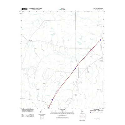
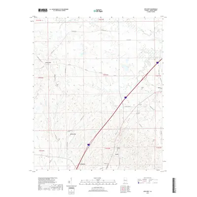
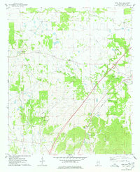 1974 Epes West1978 Print · USGSSumter County, Alabama, is captured in the mid-1970s as a region of quiet rural settlements and established family homesteads. Genealogists can locate family burial sites like Eskeridge-Pettigrew Cem and historic local landmarks such as Sumterville Ch.2 unique versions available
 - 1974 Map of Livingston, 1978 Print
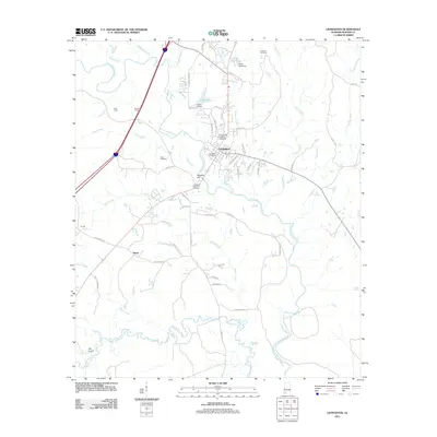
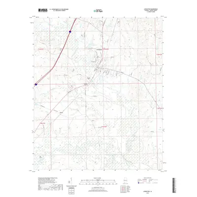
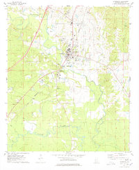 1974 Livingston1978 Print · USGSLivingston and the surrounding Sumter County countryside are shown in the mid-seventies as the local community and university grew. Genealogists and historians can trace family-named sites like Johnson Cem, rural churches such as Pine Grove Ch, and the grounds of Livingston University.2 unique versions available
 - 1984 Map of De Kalb
 1984 De Kalb1984 Print · USGSThe Mississippi-Alabama borderlands come into focus in the 1980s, where the river-and-rail economy meets military and tribal lands. Researchers can trace rural lineages across the Choctaw Indian Reservation or through the rail towns of Scooba and De Kalb.2 unique versions available
 - 2011 Map of Epes West, 2011 Print
 2011 Epes West2011 Print · USGSCovers Livingston, including Epes, Parker, and other nearby areas
 - 2011 Map of Livingston, 2011 Print
 2011 Livingston2011 Print · USGSCovers Livingston, including Hixon, Sumter County, and other nearby areas
 - 2014 Map of Livingston, 2014 Print
 2014 Livingston2014 Print · USGSCovers Livingston, including Hixon, Sumter County, and other nearby areas
 - 2014 Map of Epes West, 2014 Print
 2014 Epes West2014 Print · USGSCovers Livingston, including Epes, Parker, and other nearby areas
 - 2018 Map of Livingston, 2018 Print
 2018 Livingston2018 Print · USGSCovers Livingston, including Hixon, Sumter County, and other nearby areas
 - 2018 Map of Epes West, 2018 Print
 2018 Epes West2018 Print · USGSCovers Livingston, including Epes, Parker, and other nearby areas
 - 2020 Map of Livingston, 2020 Print
 2020 Livingston2020 Print · USGSCovers Livingston, including Hixon, Sumter County, and other nearby areas
 - 2020 Map of Epes West, 2020 Print
 2020 Epes West2020 Print · USGSCovers Livingston, including Epes, Parker, and other nearby areas
 - 2024 Map of Livingston, 2024 Print
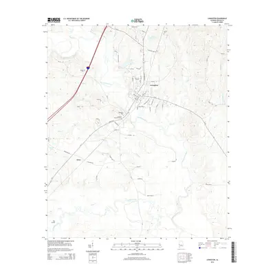
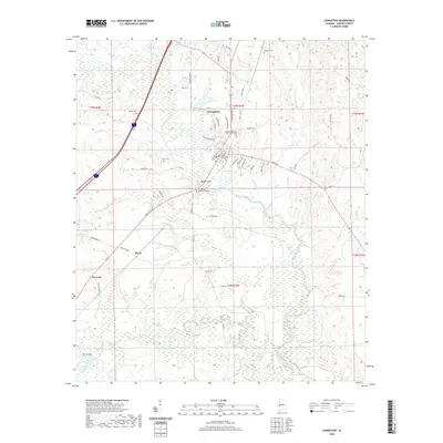
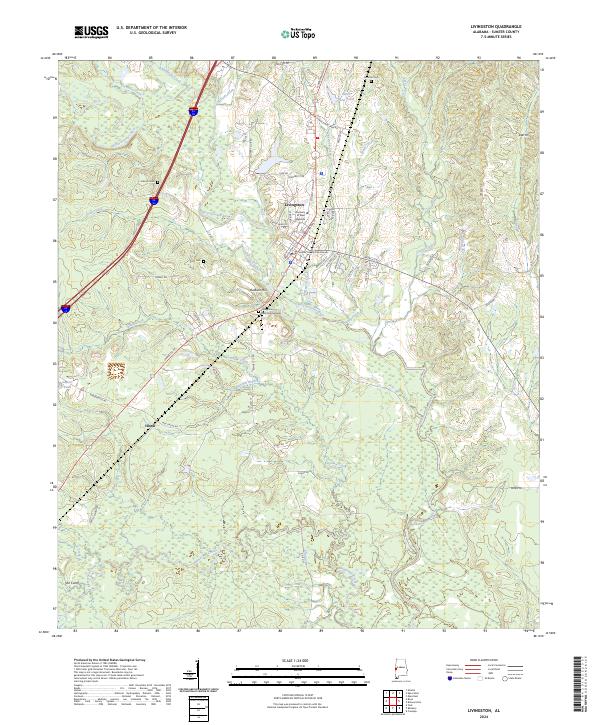 2024 Livingston2024 Print · USGSLivingston and the surrounding Sumter County countryside are shown here in the 2020s, centered on the county seat and the University of West Alabama. Researchers can trace local history through sites like the Sumter County Courthouse, Johnson Cem, and the settlement at Hixon.
 - 2024 Map of Epes West, 2024 Print
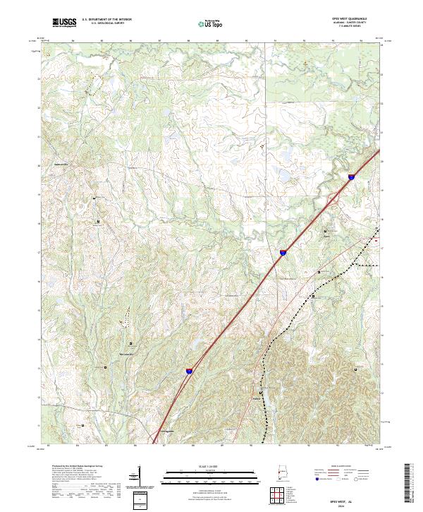 2024 Epes West2024 Print · USGSSumter County, Alabama, is documented here in the early twenty-first century as modern interstates intersect with deep-rooted rural settlements. Genealogists can locate numerous family burial sites, such as the McInnis Cem, Harris Cem, and Shiloh Cem.
End of results
Showing maps 1-18 of 18
Top cities near Livingston
- York historical maps
- Bellamy historical maps
- Cuba historical maps
- Boligee historical maps
- Epes historical maps
- Gainesville historical maps
See more
Frequently asked questions
- What are the different types of historical maps available for Livingston?
- What is the oldest map of Livingston?
- Where can I purchase historical maps of Livingston for my home or office?
- Where can I download high-res historical maps of Livingston?
- Are there historical topographic maps available for Livingston?
- Is there historical aerial imagery available for Livingston?
- Where are historical maps of Livingston sourced from?