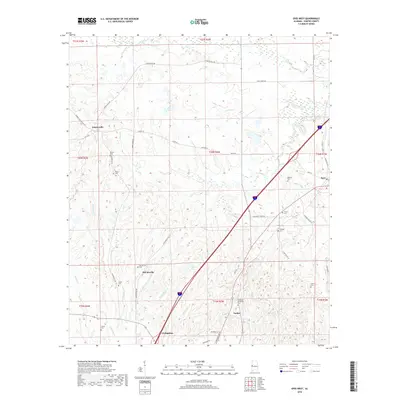
2018 Map of Epes West
USGS Topo · Published 2018About this map
Sumterville and McCainville anchor this 2018 survey of eastern Sumter County, where the landscape is defined by the headwaters of numerous creeks draining toward the Tombigbee River system. The area preserves a high density of rural burial grounds, providing significant genealogical data through sites like Eskeridge Pettigrew Cem, Henagan Cem, and McInnis Cem. These locations, often situated on the higher ground between drainages like Jones Cr and Shumulla Cr, trace the early patterns of family landholdings in the region. To the south, the northern reaches of Livingston appear, while the small community of Parker sits near the crossing of Kaye Rd. The transportation network is a mix of historical routes like Hayes Ferry Rd and modern infrastructure, illustrating how contemporary development follows the contours of the Alabama Black Belt’s traditional rural settlements.
Find a feature on this map
54 named features on this map. Tap any name to fly to it.
Don’t see what you’re looking for? This feature index may not catch every label — zoom into the map to look around manually.
Map Details
Editions of this 2018 Epes West Map
This is the sole edition of this map. No revisions or reprints were ever made.
Other maps of this area
1929 · Epes
USGS Topo · 1:48,000
1932 · Epes
USGS Topo · 1:62,500
1953 · Meridian
USGS Topo · 1:250,000
1957 · Meridian
USGS Topo · 1:250,000
1965 · Meridian
USGS Topo · 1:250,000
1970 · Boligee
USGS Topo · 1:24,000
1970 · Gainesville
USGS Topo · 1:24,000
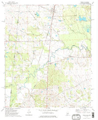
1973 · Geiger
USGS Topo · 1:24,000
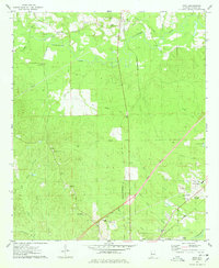
1974 · Boyd
USGS Topo · 1:24,000
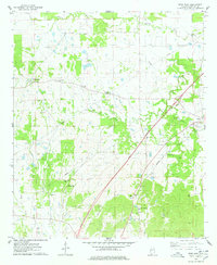
1974 · Epes West
USGS Topo · 1:24,000