2020s Maps of Sylacauga, Alabama
Explore 10 historic maps of Sylacauga from the 2020s. These maps offer a rare glimpse into what life looked like during the 2020s — showing old roads, neighborhoods, homes, and landmarks that have changed or disappeared over time.
Whether you're researching your family's past, planning a metal detecting trip, or studying how Sylacauga's landscape evolved across the 2020s, these high-resolution maps are a powerful tool for exploring the history of this region.
- Focus on a specific era: All maps on this page are from the 2020s, giving you a focused view of this time period.
- See what’s changed: Compare century-old streets, trails, and buildings to today's modern landscape using overlays and satellite layers.
- Research with precision: Use these maps for genealogy, historical research, land use analysis, or educational projects.
- View, download, or print: Maps are fully viewable online in high resolution, and can be downloaded or printed for your own records.
Start exploring Sylacauga's history through authentic maps from the 2020s. This is your window into the past.
Sylacauga, AL maps
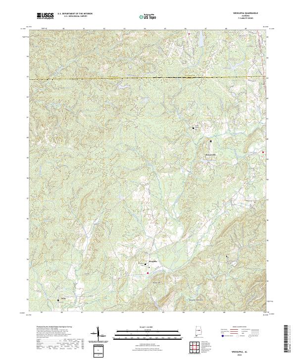
(10)- 2020 Map of Weogufka, 2020 Print
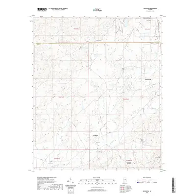 2020 Weogufka2020 Print · USGSCovers Sylacauga, including Weogufka, Unity, and other nearby areas
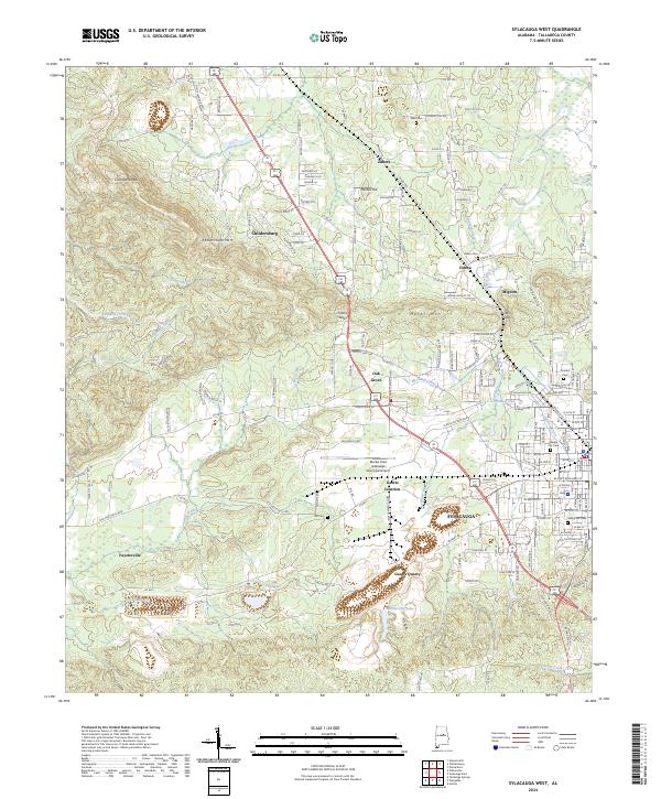
 - 2020 Map of Sylacauga West, 2020 Print
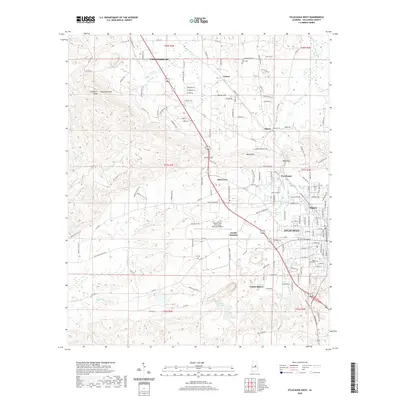 2020 Sylacauga West2020 Print · USGSCovers Sylacauga, including Childersburg, Mignon, and other nearby areas
 - 2021 Map of Winterboro, 2021 Print
 2021 Winterboro2021 Print · USGSCovers Sylacauga, including Risers, Papertown, and other nearby areas
 - 2021 Map of Sylacauga East, 2021 Print
 2021 Sylacauga East2021 Print · USGSCovers Sylacauga, including Liberty Hill, Emauhee, and other nearby areas
 - 2021 Map of Hollins, 2021 Print
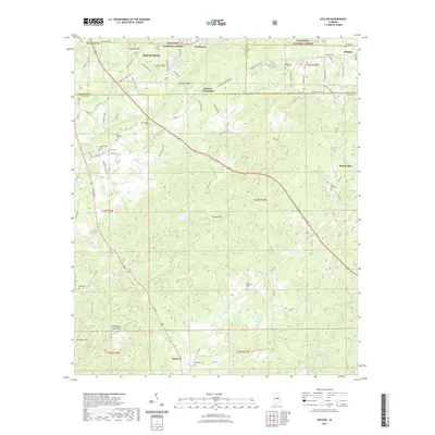 2021 Hollins2021 Print · USGSCovers Sylacauga, including Stewartville, Hollins, and other nearby areas
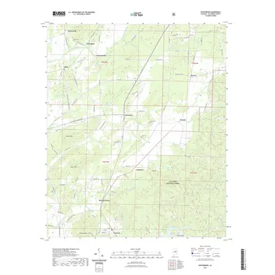
 - 2024 Map of Winterboro, 2024 Print
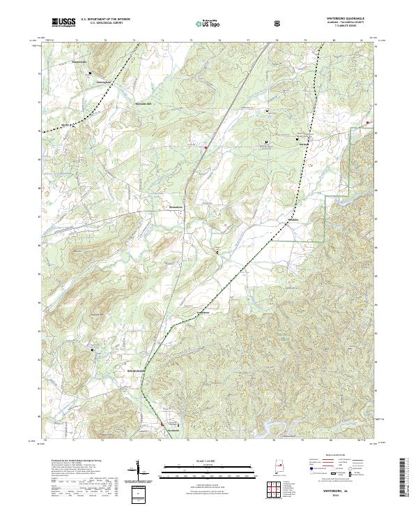 2024 Winterboro2024 Print · USGSTalladega County is shown at the edge of the modern era, where established settlements like Winterboro and SYLACAUGA meet the woodland. Genealogists can locate several historic burial grounds, including Africa Missionary Baptist Church Cem and Kingston Cem.
 - 2024 Map of Weogufka, 2024 Print
 2024 Weogufka2024 Print · USGSCoosa County’s rolling southern Appalachian foothills are documented here in the early twenty-first century as they appear near the Talladega County line. Researchers can locate family landmarks like Stewarts Cem and Grimes Chapel Cem, or trace the path of the Pinhoti Trl through the Weogufka Mountains.
 - 2024 Map of Sylacauga West, 2024 Print
 2024 Sylacauga West2024 Print · USGSThe western outskirts of Sylacauga are documented here in the early twenty-first century, showing the industrial legacy of the Alabama marble belt. Researchers can trace family history at Gantts Quarry or locate ancestral sites at Odena Cem and Rising Star Cem.
 - 2024 Map of Sylacauga East, 2024 Print
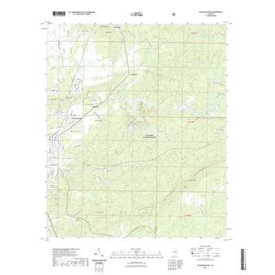
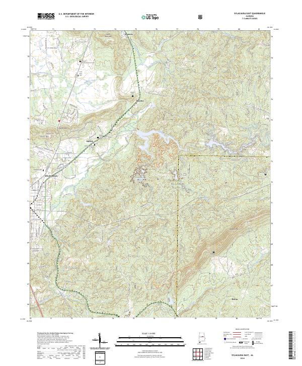 2024 Sylacauga East2024 Print · USGSTalladega County comes into focus in this contemporary survey of the hills and hollows east of Sylacauga. Genealogists can trace several remote burial sites including Summer Hill Cem and Player's Cem near the banks of Emauhee Creek.
 - 2024 Map of Hollins, 2024 Print
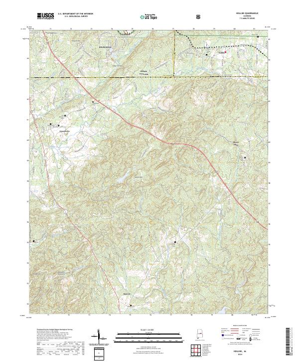 2024 Hollins2024 Print · USGSThe foothills of the southern Appalachians come alive in this contemporary record of Clay and Coosa counties. Genealogists and local historians can trace the rural landscape through a dense concentration of legacy sites like Macedonia Cem and Hollins Springs Cem.
End of results
Showing maps 1-10 of 10
Top cities near Sylacauga
- Talladega historical maps
- Childersburg historical maps
- Vincent historical maps
- Wilsonville historical maps
- Westover historical maps
- Stewartville historical maps
See more
Top neighborhoods of Sylacauga
- Chico historical maps
- Lake Joy historical maps
- Walco historical maps
- Sunrise historical maps
- The Moon historical maps
Frequently asked questions
- What are the different types of historical maps available for Sylacauga?
- What is the oldest map of Sylacauga?
- Where can I purchase historical maps of Sylacauga for my home or office?
- Where can I download high-res historical maps of Sylacauga?
- Are there historical topographic maps available for Sylacauga?
- Is there historical aerial imagery available for Sylacauga?
- Where are historical maps of Sylacauga sourced from?