2000s (21st Century) Maps of Talladega, Alabama
Explore 11 historic maps of Talladega from the 2000s (21st Century). These maps offer a rare glimpse into what life looked like during the 2000s — showing old roads, neighborhoods, homes, and landmarks that have changed or disappeared over time.
Whether you're researching your family's past, planning a metal detecting trip, or studying how Talladega's landscape evolved across the 2000s, these high-resolution maps are a powerful tool for exploring the history of this region.
- Focus on a specific era: All maps on this page are from the 2000s, giving you a focused view of this time period.
- See what’s changed: Compare century-old streets, trails, and buildings to today's modern landscape using overlays and satellite layers.
- Research with precision: Use these maps for genealogy, historical research, land use analysis, or educational projects.
- View, download, or print: Maps are fully viewable online in high resolution, and can be downloaded or printed for your own records.
Start exploring Talladega's history through authentic maps from the 2000s. This is your window into the past.
Talladega, AL maps
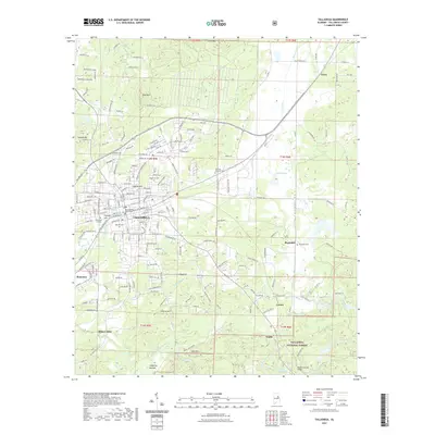
(11)- 2001 Map of Talladega, 2004 Print
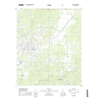
 2001 Talladega2004 Print · USGSTalladega and the Alabama hill country are shown at the start of the new millennium, balanced between its historic college campus and military sites. Genealogists and local historians can trace the foundations of Bemiston, Oak Hill Cem, and the specialized Helen Keller Sch of Ala.
 - 2011 Map of Talladega, 2011 Print
 2011 Talladega2011 Print · USGSCovers Talladega, including Waldo, Stockdale, and other nearby areas
 - 2011 Map of Sleeping Giant, 2011 Print
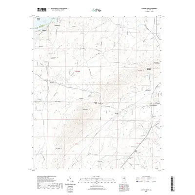
 2011 Sleeping Giant2011 Print · USGSCovers Talladega, including Pell City, Lincoln, and other nearby areas
 - 2014 Map of Sleeping Giant, 2014 Print
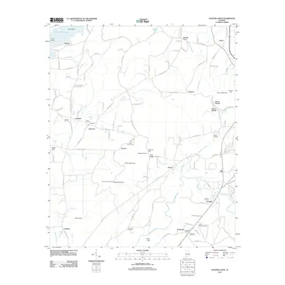
 2014 Sleeping Giant2014 Print · USGSCovers Talladega, including Pell City, Lincoln, and other nearby areas
 - 2014 Map of Talladega, 2014 Print
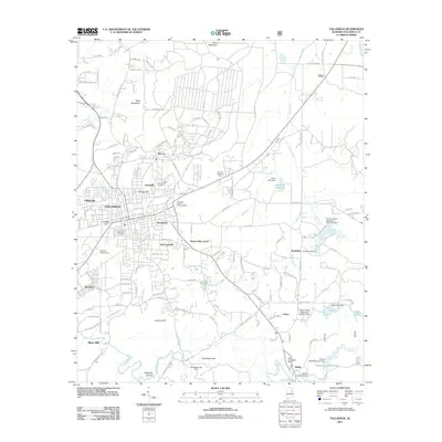
 2014 Talladega2014 Print · USGSCovers Talladega, including Waldo, Stockdale, and other nearby areas
 - 2018 Map of Sleeping Giant, 2018 Print
 2018 Sleeping Giant2018 Print · USGSCovers Talladega, including Pell City, Lincoln, and other nearby areas
 - 2018 Map of Talladega, 2018 Print
 2018 Talladega2018 Print · USGSCovers Talladega, including Waldo, Stockdale, and other nearby areas
 - 2020 Map of Sleeping Giant, 2020 Print
 2020 Sleeping Giant2020 Print · USGSCovers Talladega, including Pell City, Lincoln, and other nearby areas
 - 2021 Map of Talladega, 2021 Print
 2021 Talladega2021 Print · USGSCovers Talladega, including Waldo, Stockdale, and other nearby areas
 - 2024 Map of Talladega, 2024 Print
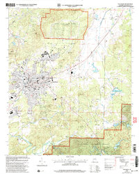
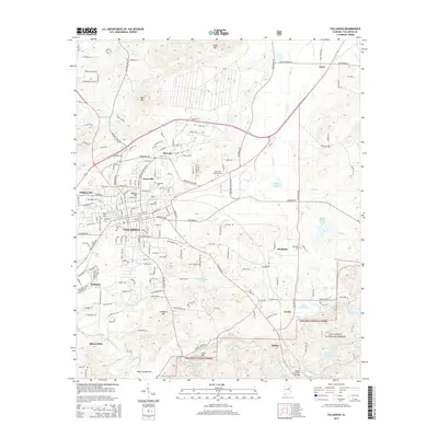
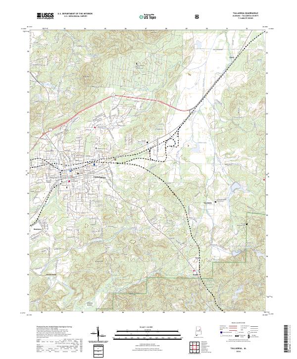 2024 Talladega2024 Print · USGSTalladega and its surrounding foothills are captured here in the early twenty-first century, showing the established city grid and rural outskirts. Researchers can locate the historic Talladega College, Allison Mills, and several family cemeteries like Needmore Cem.
 - 2024 Map of Sleeping Giant, 2024 Print
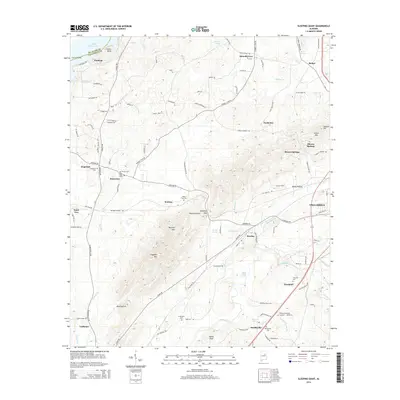
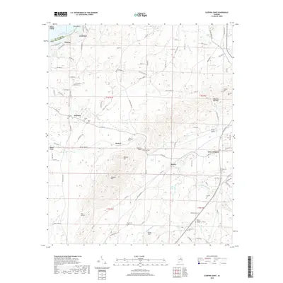
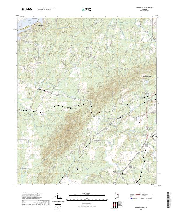 2024 Sleeping Giant2024 Print · USGSThe foothills of the Sleeping Giant mountains come to life in this contemporary survey of the Talladega area. Researchers can locate numerous historical burial sites such as Mardisville Cem and Thornhill Cem, or trace the Ford of Talladega Creek.
End of results
Showing maps 1-11 of 11
Top cities near Talladega
- Oxford historical maps
- Anniston historical maps
- Pell City historical maps
- Sylacauga historical maps
- Lincoln historical maps
- Childersburg historical maps
See more
Top neighborhoods of Talladega
- Sliocco Springs historical maps
- Shocco Springs historical maps
- Bemiston historical maps
- Thornhill historical maps
- Brecon historical maps
- Jonesville historical maps
See more
Frequently asked questions
- What are the different types of historical maps available for Talladega?
- What is the oldest map of Talladega?
- Where can I purchase historical maps of Talladega for my home or office?
- Where can I download high-res historical maps of Talladega?
- Are there historical topographic maps available for Talladega?
- Is there historical aerial imagery available for Talladega?
- Where are historical maps of Talladega sourced from?