Old Maps of Waldo, Alabama for Hiking & Exploration
Hike through history with 24 historic maps of Waldo. Explore old trails, ghost towns, and forgotten backroads — perfect for outdoor adventurers and local explorers.
- Rediscover forgotten places: Map out old mining camps, roads, and footpaths that no longer exist on modern maps.
- Layer with modern tools: Combine with LiDAR or satellite views to plan hikes through historical terrain.
- Made for exploration: Popular among hikers, overlanders, and local history lovers.
Use these maps to find adventure and explore the hidden past of Waldo.
Waldo, AL maps
(24)- 1890 Map of Talladega
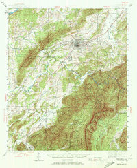
 1890 Talladega1890 Print · USGSTalladega and the surrounding river valleys are captured here in the late nineteenth century as the railroad and river economy flourished. Trace the locations of historic river crossings like Old Kymulga Ferry and local landmarks such as Odens Mill.
 - 1892 Map of Talladega
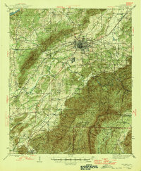
 1892 Talladega1892 Print · USGSTalladega County and the Coosa River valley are captured here in the late nineteenth century as the regional rail network expanded through the mountains. Researchers can locate old river crossings like Chancelors Ferry, rural landmarks such as Edwards Store, and early hubs like Childersburgh.6 unique versions available
 - 1943 Map of Talladega, 1972 Print
 1943 Talladega1972 Print · USGSTalladega and its mountain ridges are captured here during the early years of the Second World War, showing a landscape defined by rail and rural industry. Researchers can trace family roots through numerous country landmarks like Reynolds Mill, the County Training School, and Winterboro.2 unique versions available
 - 1946 Map of Talladega
 1946 Talladega1946 Print · USGSTalladega and its surrounding hill country are captured here in the mid-1940s as a vital railroad and milling crossroads. Genealogists can locate family landmarks like Allison Mills, Antioch Ch, and the Mardisville Sch among the rural settlements.2 unique versions available
 - 1953 Map of Birmingham, 1964 Print
 1953 Birmingham1964 Print · USGSCentral Alabama at mid-century shows a landscape defined by industrial expansion and the iron-rich ridges surrounding Birmingham. Researchers can trace the extensive rail networks of the L & N RR or locate historic federal sites like the Anniston Ordnance Depot.4 unique versions available
 - 1956 Map of Birmingham
 1956 Birmingham1956 Print · USGSCentral Alabama in the mid-fifties exhibits a landscape of growing cities and deep-rooted industrial corridors. Genealogists and historians can trace the development of suburban Mountain Brook or locate regional hubs like Sylacauga and Jasper.
 - 1957 Map of Birmingham
 1957 Birmingham1957 Print · USGSNorth-Central Alabama in the mid-fifties is an industrial powerhouse centered on the steel valleys and sprawling iron ridges. Genealogists and historians can trace the rail-linked growth of Birmingham and Tuscaloosa, or locate rural landmarks like Talladega College and the Anniston Ordnance Depot.
 - 1975 Map of Talladega SE, 1977 Print
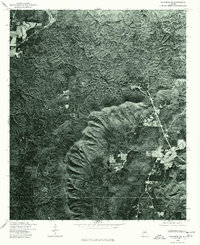 1975 Talladega SE1977 Print · USGSTalladega County comes into sharp focus during the mid-seventies in this detailed aerial orthophotograph. Researchers can examine rural land patterns and trace the terrain surrounding Chandlers Springs and the banks of Talladega Creek.
 - 1975 Map of Talladega NE, 1977 Print
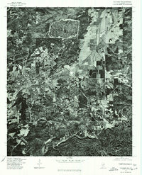 1975 Talladega NE1977 Print · USGSTalladega and its outlying communities are captured in clear aerial detail during the mid-seventies. Local historians and researchers can trace the development of the city streets in Talladega or locate the residential patterns of Bemiston and Waldo.
 - 1984 Map of Birmingham South, 1985 Print
 1984 Birmingham South1985 Print · USGSThe Birmingham metropolitan region and the Coosa River valley are shown here in the mid-eighties as suburban growth expanded south into the ridges. Genealogists and local historians can trace the development of communities from Bessemer to Sylacauga alongside the Lay Lake shoreline and the Talladega National Forest.2 unique versions available
 - 1987 Map of Porter Gap
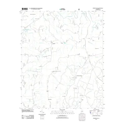
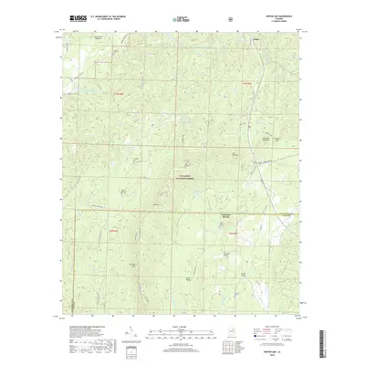
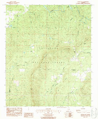 1987 Porter Gap1987 Print · USGSTalladega and Clay counties are shown here in the late twentieth century as the national forest boundary encompasses prominent ridges and small valleys. Trace family roots at Germany Cem, find old rural congregations like Weewoka Ch, or follow the high Skyway Motorway across Horn Mountain.
 - 1987 Map of Talladega
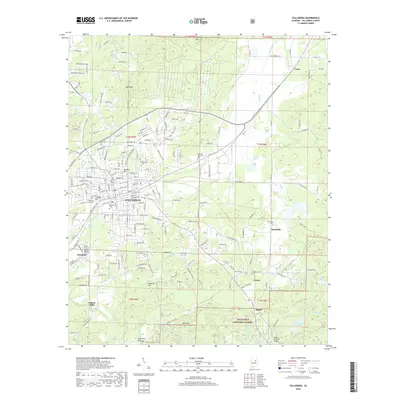
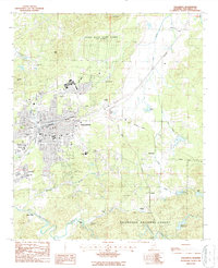 1987 Talladega1987 Print · USGSTalladega and its surrounding hill country are captured here in the late eighties as a center of education and industry. Researchers can trace local roots through numerous landmarks like Talladega College, Oak Hill Cem, and the specialized Helen Keller Sch of Ala.
 - 2001 Map of Talladega, 2004 Print
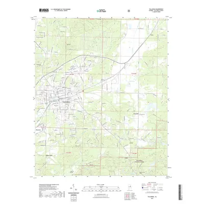
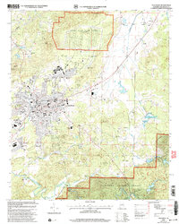 2001 Talladega2004 Print · USGSTalladega and the Alabama hill country are shown at the start of the new millennium, balanced between its historic college campus and military sites. Genealogists and local historians can trace the foundations of Bemiston, Oak Hill Cem, and the specialized Helen Keller Sch of Ala.
 - 2001 Map of Porter Gap, 2004 Print
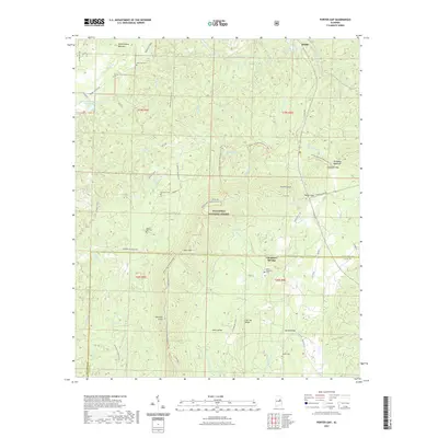
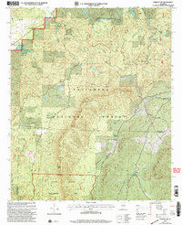 2001 Porter Gap2004 Print · USGSTalladega and Clay counties are shown at the start of the new millennium, centered on the high ridges and gaps of the southern Appalachians. Genealogists can trace family sites at Germany Cem or visit community anchors like Weewoka Ch and Waldo.
 - 2011 Map of Talladega, 2011 Print
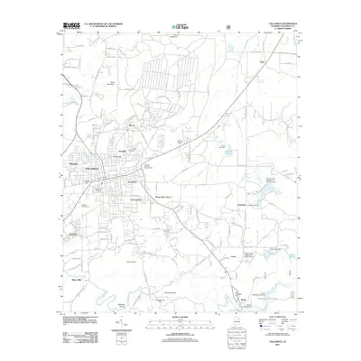 2011 Talladega2011 Print · USGSCovers Waldo, including Talladega, Stockdale, and other nearby areas
 - 2011 Map of Porter Gap, 2011 Print
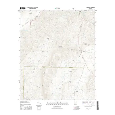
 2011 Porter Gap2011 Print · USGSCovers Waldo, including Chambers Springs, Coleta, and other nearby areas
 - 2014 Map of Porter Gap, 2014 Print
 2014 Porter Gap2014 Print · USGSCovers Waldo, including Chambers Springs, Coleta, and other nearby areas
 - 2014 Map of Talladega, 2014 Print
 2014 Talladega2014 Print · USGSCovers Waldo, including Talladega, Stockdale, and other nearby areas
 - 2018 Map of Porter Gap, 2018 Print
 2018 Porter Gap2018 Print · USGSCovers Waldo, including Chambers Springs, Coleta, and other nearby areas
 - 2018 Map of Talladega, 2018 Print
 2018 Talladega2018 Print · USGSCovers Waldo, including Talladega, Stockdale, and other nearby areas
 - 2021 Map of Talladega, 2021 Print
 2021 Talladega2021 Print · USGSCovers Waldo, including Talladega, Stockdale, and other nearby areas
 - 2021 Map of Porter Gap, 2021 Print
 2021 Porter Gap2021 Print · USGSCovers Waldo, including Chambers Springs, Coleta, and other nearby areas
 - 2024 Map of Talladega, 2024 Print
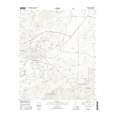
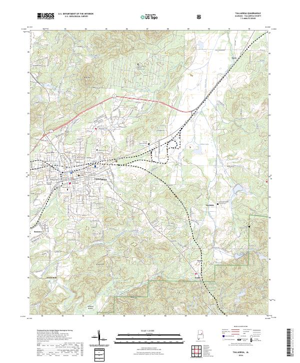 2024 Talladega2024 Print · USGSTalladega and its surrounding foothills are captured here in the early twenty-first century, showing the established city grid and rural outskirts. Researchers can locate the historic Talladega College, Allison Mills, and several family cemeteries like Needmore Cem.
 - 2024 Map of Porter Gap, 2024 Print
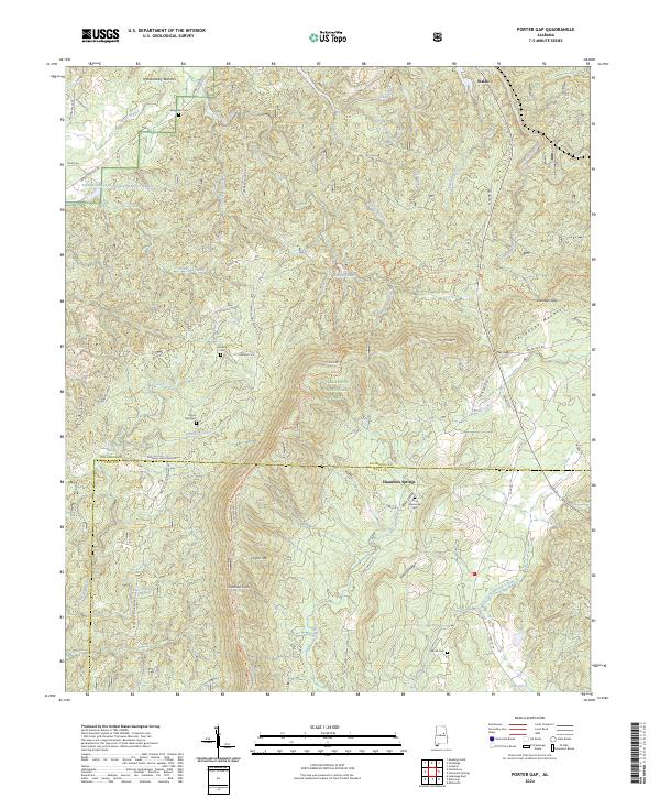 2024 Porter Gap2024 Print · USGSThe ridges of the Talladega National Forest meet the valley settlements of Waldo and Chambers Springs in this modern look at rural Alabama. Researchers can trace family history at Horns Memorial Cem or locate topographic landmarks like Sherman Cliffs and Porter Gap.
End of results
Showing maps 1-24 of 24
Top cities near Waldo
- Oxford historical maps
- Anniston historical maps
- Talladega historical maps
- Pell City historical maps
- Sylacauga historical maps
- Lincoln historical maps
See more
Top neighborhoods of Waldo
Frequently asked questions
- What are the different types of historical maps available for Waldo?
- What is the oldest map of Waldo?
- Where can I purchase historical maps of Waldo for my home or office?
- Where can I download high-res historical maps of Waldo?
- Are there historical topographic maps available for Waldo?
- Is there historical aerial imagery available for Waldo?
- Where are historical maps of Waldo sourced from?