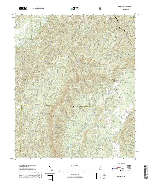
2024 Map of Porter Gap
USGS Topo · Published 2024About this map
Talladega National Forest dominates this landscape on the border of Talladega and Clay counties, where the steep ridges of Talladega Mountain and Germany Mountain meet. The terrain is marked by significant elevation changes, from the heights of The Pinnacle and Horn Mtn down to the low-lying Penitentiary Bottoms along Wash Branch. Small settlements and family landmarks are concentrated in the valleys, particularly around Waldo in the north and Chambers Springs further south.
Find a feature on this map
65 named features on this map. Tap any name to fly to it.
Don’t see what you’re looking for? This feature index may not catch every label — zoom into the map to look around manually.
Map Details
Editions of this 2024 Porter Gap Map
This is the sole edition of this map. No revisions or reprints were ever made.
Other maps of this area

1890 · Talladega
USGS Topo · 1:125,000

1891 · Ashland
USGS Topo · 1:125,000

1892 · Talladega
USGS Topo · 1:125,000

1943 · Talladega
USGS Topo · 1:62,500

1944 · Goodwater
USGS Topo · 1:62,500

1946 · Talladega
USGS Topo · 1:62,500

1947 · Goodwater
USGS Topo · 1:62,500

1953 · Birmingham
USGS Topo · 1:250,000

1953 · Atlanta
USGS Topo · 1:250,000

1956 · Birmingham
USGS Topo · 1:250,000