
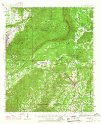
1944 Map of Goodwater
USGS Topo · Published 1947About this map
Goodwater and the industrial hub of Sylacauga anchor this mid-1940s landscape where the Talladega Mountains meet the rolling transition into Coosa and Clay counties. The area is defined by the Talladega National Forest, which covers a significant portion of the central terrain, punctuated by landmarks like the Hollins Fire Tower on a high ridge. Settlement patterns follow the Louisville and Nashville railroad corridor through Hollins and Sycamore, while rural life is centered on a dense network of country schools and churches, including Trammells Sch and Haynes Chapel.
Find a feature on this map
59 named features on this map. Tap any name to fly to it.
Don’t see what you’re looking for? This feature index may not catch every label — zoom into the map to look around manually.
Map Details
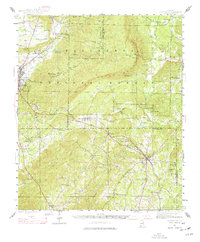
Editions of this 1944 Goodwater Map
3 editions found
Other maps of this area

1890 · Talladega
USGS Topo · 1:125,000

1891 · Ashland
USGS Topo · 1:125,000

1892 · Talladega
USGS Topo · 1:125,000

1901 · Wetumpka
USGS Topo · 1:125,000

1903 · Wetumpka
USGS Topo · 1:125,000

1906 · Dadeville
USGS Topo · 1:125,000

1915 · Gantts Quarry
USGS Topo · 1:48,000

1917 · Gantts Quarry
USGS Topo · 1:62,500

1943 · Talladega
USGS Topo · 1:62,500

1946 · Talladega
USGS Topo · 1:62,500