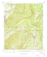
1944 Map of Goodwater
USGS Topo · Published 1977About this map
Goodwater serves as a central rail and settlement hub in this mid-century survey, situated where the Central of Georgia line cuts through the foothills. The landscape is defined by the high ridges of the Talladega Mountains and the Talladega National Forest, with smaller peaks like Rocky Mountain and Grindley Hill rising above the creek valleys. To the northwest, Sylacauga appears as a growing industrial and transportation center, linked by the Louisville and Nashville railroad and the historic Wiregrass Road.
Find a feature on this map
50 named features on this map. Tap any name to fly to it.
Don’t see what you’re looking for? This feature index may not catch every label — zoom into the map to look around manually.
Map Details
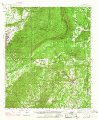
Editions of this 1944 Goodwater Map
3 editions found
Other maps of this area

1890 · Talladega
USGS Topo · 1:125,000

1891 · Ashland
USGS Topo · 1:125,000

1892 · Talladega
USGS Topo · 1:125,000

1901 · Wetumpka
USGS Topo · 1:125,000

1903 · Wetumpka
USGS Topo · 1:125,000

1906 · Dadeville
USGS Topo · 1:125,000

1915 · Gantts Quarry
USGS Topo · 1:48,000

1917 · Gantts Quarry
USGS Topo · 1:62,500

1943 · Talladega
USGS Topo · 1:62,500

1944 · Goodwater
USGS Topo · 1:62,500