2020s Maps of Alexander City, Alabama
Explore 10 historic maps of Alexander City from the 2020s. These maps offer a rare glimpse into what life looked like during the 2020s — showing old roads, neighborhoods, homes, and landmarks that have changed or disappeared over time.
Whether you're researching your family's past, planning a metal detecting trip, or studying how Alexander City's landscape evolved across the 2020s, these high-resolution maps are a powerful tool for exploring the history of this region.
- Focus on a specific era: All maps on this page are from the 2020s, giving you a focused view of this time period.
- See what’s changed: Compare century-old streets, trails, and buildings to today's modern landscape using overlays and satellite layers.
- Research with precision: Use these maps for genealogy, historical research, land use analysis, or educational projects.
- View, download, or print: Maps are fully viewable online in high resolution, and can be downloaded or printed for your own records.
Start exploring Alexander City's history through authentic maps from the 2020s. This is your window into the past.
Alexander City, AL maps
(10)- 2020 Map of Our Town, 2020 Print
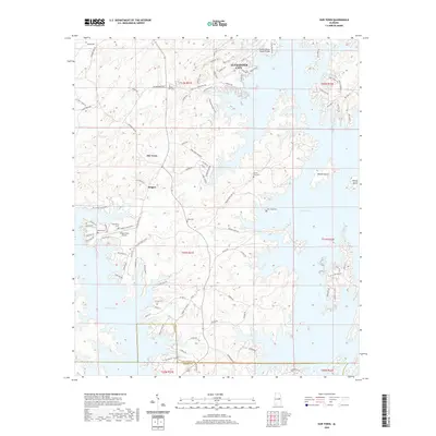 2020 Our Town2020 Print · USGSCovers Alexander City, including Our Town, Wind Creek Farms, and other nearby areas
 - 2020 Map of Kellyton, 2020 Print
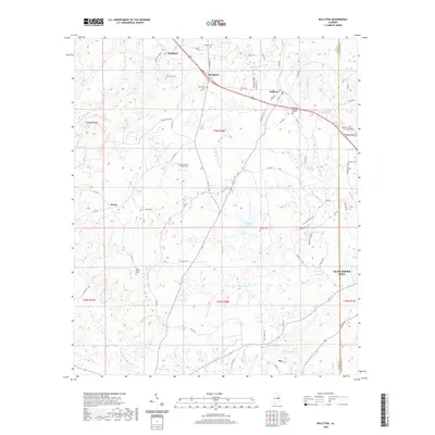 2020 Kellyton2020 Print · USGSCovers Alexander City, including Nixburg, Ray, and other nearby areas
 - 2020 Map of Dadeville, 2020 Print
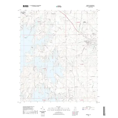 2020 Dadeville2020 Print · USGSCovers Alexander City, including Dadeville, Jacksons' Gap, and other nearby areas
 - 2020 Map of Jacksons Gap, 2020 Print
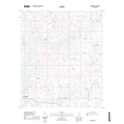 2020 Jacksons Gap2020 Print · USGSCovers Alexander City, including Jacksons' Gap, Sturdivant, and other nearby areas
 - 2020 Map of Alexander City, 2020 Print
 2020 Alexander City2020 Print · USGSCovers Alexander City, including Andrew Jackson, Fuller, and other nearby areas
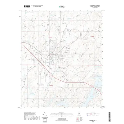
 - 2024 Map of Alexander City, 2024 Print
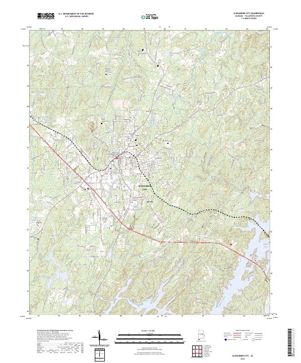 2024 Alexander City2024 Print · USGSAlexander City and its surroundings are documented here in the 2020s, showing a landscape defined by the expansive reaches of the Tallapoosa River. Researchers can trace local heritage through numerous burial sites like Kennedy-Christian-Sasser Cem and landmarks such as the Tallapoosa County Courthouse.
 - 2024 Map of Jacksons Gap, 2024 Print
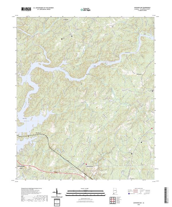 2024 Jacksons Gap2024 Print · USGSTallapoosa County's shoreline and river bends come into focus in this recent survey of the area surrounding Jacksons Gap. Researchers can locate several historic burial sites like Jackson Field Cem and Woods Cem or trace the winding waters of Martin Lake.
 - 2024 Map of Our Town, 2024 Print
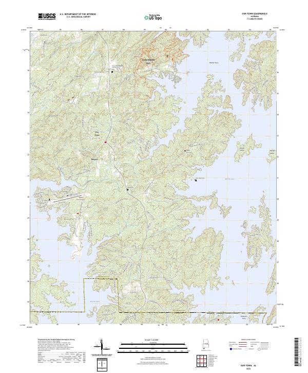 2024 Our Town2024 Print · USGSThe Tallapoosa County lakefront is shown in modern detail, where the rising waters of Martin Lake have shaped a landscape of peninsulas and islands. Researchers can trace local heritage through numerous burial sites like Friendship Cem and Mask Cem near the settlement of Our Town.
 - 2024 Map of Dadeville, 2024 Print
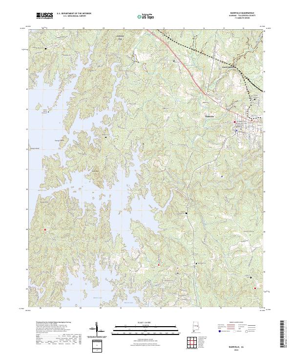 2024 Dadeville2024 Print · USGSTallapoosa County in the early twenty-first century reflects the long-standing importance of Dadeville and the expansive waters of Martin Lake. Researchers can locate numerous family burial sites, including the Old Rocky Mount Cem and Shepard Graveyard.
 - 2024 Map of Kellyton, 2024 Print
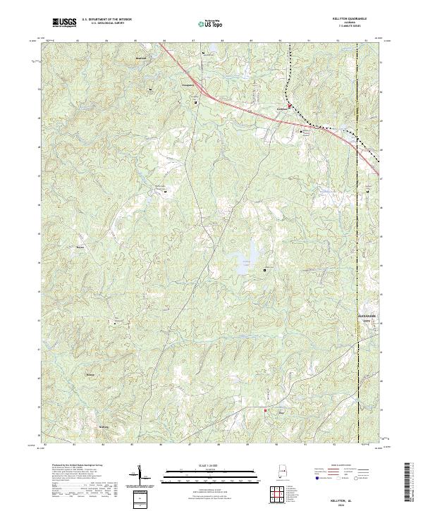 2024 Kellyton2024 Print · USGSCoosa County’s rolling Piedmont hills are captured here in recent years, showing the enduring rural layout of communities like Socapatoy and Nixburg. Researchers can locate several family landmarks and burial sites, including Doctor Kellys Private Cem, Jordan Cem, and Bradford Cem.
End of results
Showing maps 1-10 of 10
Top cities near Alexander City
- Dadeville historical maps
- Goodwater historical maps
- Eclectic historical maps
- New Site historical maps
- Jacksons' Gap historical maps
- Our Town historical maps
See more
Top neighborhoods of Alexander City
- Midway historical maps
- Indian Hills historical maps
- Mount Zion historical maps
- White Oak Landing historical maps
- Fuller historical maps
- Lake Hill Estates historical maps
See more
Frequently asked questions
- What are the different types of historical maps available for Alexander City?
- What is the oldest map of Alexander City?
- Where can I purchase historical maps of Alexander City for my home or office?
- Where can I download high-res historical maps of Alexander City?
- Are there historical topographic maps available for Alexander City?
- Is there historical aerial imagery available for Alexander City?
- Where are historical maps of Alexander City sourced from?