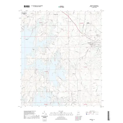
2020 Map of Dadeville
USGS Topo · Published 2020About this map
The Tallapoosa County Courthouse Dadeville anchors this survey of eastern Alabama, where the rising waters of Martin Lake have transformed the landscape into a complex network of peninsulas and inlets. The shoreline is densely marked by recreational and residential development, with numerous roads such as Point Windy Rd and Lakeview Heights Rd providing access to the waterfront. Amidst this modern topography, the map preserves the locations of numerous historic family and community burial grounds, including the Farrow Dennis Graveyard, Shepard Graveyard, and Spain Cem, which offer significant value for genealogical research in the area.
Find a feature on this map
151 named features on this map. Tap any name to fly to it.
Don’t see what you’re looking for? This feature index may not catch every label — zoom into the map to look around manually.
Map Details
Editions of this 2020 Dadeville Map
This is the sole edition of this map. No revisions or reprints were ever made.
Other maps of this area

1906 · Dadeville
USGS Topo · 1:125,000

1955 · Phenix City
USGS Topo · 1:250,000

1957 · Phenix City
USGS Topo · 1:250,000

1958 · Phenix City
USGS Topo · 1:250,000
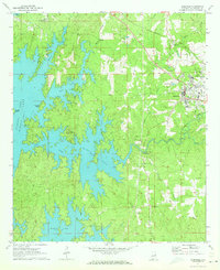
1971 · Dadeville
USGS Topo · 1:24,000

1971 · Ponders
USGS Topo · 1:24,000
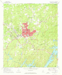
1971 · Alexander City
USGS Topo · 1:24,000
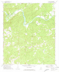
1971 · Buttston
USGS Topo · 1:24,000
1971 · Camp Hill
USGS Topo · 1:24,000

1971 · Thornton
USGS Topo · 1:24,000