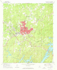
1971 Map of Alexander City
USGS Topo · Published 1973About this map
Alexander City serves as the industrial and civic anchor of this 1970s Tallapoosa County landscape, displaying the concentrated urban development around the Central of Georgia rail line. The map captures a moment when the city’s educational and healthcare infrastructure was firmly established, featuring institutions like Russell High Sch, Alexander City Jr College, and Russell Hospital. The southern portion of the sheet is defined by the sprawling waters of Martin Lake, showcasing the rise of outdoor recreation with the inclusion of Wind Creek State Park and Double Bridges Park.
Find a feature on this map
47 named features on this map. Tap any name to fly to it.
Don’t see what you’re looking for? This feature index may not catch every label — zoom into the map to look around manually.
Map Details
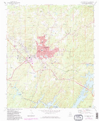
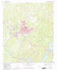
Editions of this 1971 Alexander City Map
3 editions found
Other maps of this area

1890 · Talladega
USGS Topo · 1:125,000

1891 · Ashland
USGS Topo · 1:125,000

1892 · Talladega
USGS Topo · 1:125,000

1901 · Wetumpka
USGS Topo · 1:125,000

1903 · Wetumpka
USGS Topo · 1:125,000

1906 · Dadeville
USGS Topo · 1:125,000

1944 · Goodwater
USGS Topo · 1:62,500

1947 · Goodwater
USGS Topo · 1:62,500

1953 · Montgomery
USGS Topo · 1:250,000

1953 · Birmingham
USGS Topo · 1:250,000
Featured Places
- Alexander City, AL
- Andrew Jackson, AL
- Reeves, Alexander City
- Dobbs, Alexander City
- Elkahatchee Park, Alexander City