Old Maps of Jacksons' Gap, Alabama for Academic Research
Study the evolution of Jacksons' Gap with 17 high-resolution historic maps. Whether you're teaching, researching, or modeling changes in land use, these maps provide essential visual documentation of urban, environmental, and geographic change.
- Analyze long-term change: Track patterns in development, transportation, and natural features.
- Ideal for environmental or urban studies: Support academic projects with primary historical map data.
- Use in the classroom or lab: Educators and researchers rely on these maps to bring historical context to life.
These maps are a powerful tool for teaching, research, and visualizing how Jacksons' Gap has changed over the decades.
Jacksons' Gap, AL maps
(17)- 1906 Map of Dadeville
 1906 Dadeville1906 Print · USGSThe Tallapoosa River valley is shown at the turn of the century, defined by its numerous river ferries and a burgeoning rail network. Genealogists can trace family roots through rural landmarks like Rocky Ridge Church, Mc Ritchie Mill, and the many river crossings including McCarty Ferry.3 unique versions available
 - 1955 Map of Phenix City, 1964 Print
 1955 Phenix City1964 Print · USGSPost-war Alabama and Georgia meet along the Chattahoochee River as industry and military installations expand. Trace the rail lines of the Central of Georgia through towns like Opelika, Tuskegee, and Alexander City.3 unique versions available
 - 1957 Map of Phenix City
 1957 Phenix City1957 Print · USGSThe Alabama-Georgia borderlands are captured here in the mid-fifties, centered on the bustling river crossing at Phenix City and Columbus. Researchers can trace the mid-century footprint of the Fort Benning Military Reservation or locate smaller textile and railroad towns like Langdale and Camp Hill.
 - 1958 Map of Phenix City
 1958 Phenix City1958 Print · USGSThe Alabama-Georgia borderlands thrive during the late fifties, anchored by the river-driven industry of Columbus and Phenix City. Researchers can trace the mid-century footprints of Fort Benning, Auburn, and the textile towns of Fairfax and Lanett.
 - 1971 Map of Dadeville, 1973 Print
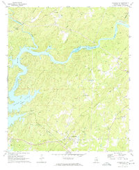
 1971 Dadeville1973 Print · USGSTallapoosa County's landscape in the early 1970s is defined by the reaching waters of Martin Lake and the established rail lines of the Central of Georgia. Genealogists can locate family landmarks like Spain Cem and Williams Cem, or trace rural congregations at Mt Zion Ch and Sandy Creek Ch.3 unique versions available
 - 1971 Map of Jacksons Gap, 1974 Print
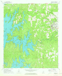
 1971 Jacksons Gap1974 Print · USGSThe Tallapoosa River and Martin Lake define this Alabama landscape in the early seventies as the region balanced rural tradition with growing lakeside recreation. Genealogists can trace family landmarks like Rocky Mount Ch, Fosheeton, and the Central of Georgia rail corridor.2 unique versions available
 - 1981 Map of Opelika, 1982 Print
 1981 Opelika1982 Print · USGSEast Alabama and West Georgia appear in the early 1980s as a region defined by massive river reservoirs and the storied textile corridor. Genealogists can trace family roots through the valley towns of Lanett and Fairfax or locate sites near Horseshoe Bend National Military Park.
 - 2011 Map of Jacksons Gap, 2011 Print
 2011 Jacksons Gap2011 Print · USGSCovers Jacksons' Gap, including Alexander City, Sturdivant, and other nearby areas
 - 2011 Map of Dadeville, 2011 Print
 2011 Dadeville2011 Print · USGSCovers Jacksons' Gap, including Alexander City, Dadeville, and other nearby areas
 - 2014 Map of Dadeville, 2014 Print
 2014 Dadeville2014 Print · USGSCovers Jacksons' Gap, including Alexander City, Dadeville, and other nearby areas
 - 2014 Map of Jacksons Gap, 2014 Print
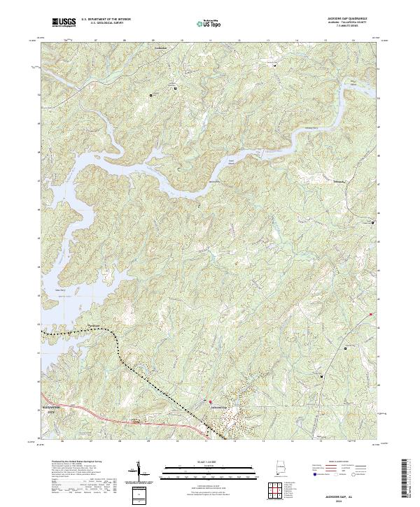
 2014 Jacksons Gap2014 Print · USGSCovers Jacksons' Gap, including Alexander City, Sturdivant, and other nearby areas
 - 2018 Map of Jacksons Gap, 2018 Print
 2018 Jacksons Gap2018 Print · USGSCovers Jacksons' Gap, including Alexander City, Sturdivant, and other nearby areas
 - 2018 Map of Dadeville, 2018 Print
 2018 Dadeville2018 Print · USGSCovers Jacksons' Gap, including Alexander City, Dadeville, and other nearby areas
 - 2020 Map of Dadeville, 2020 Print
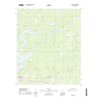
 2020 Dadeville2020 Print · USGSCovers Jacksons' Gap, including Alexander City, Dadeville, and other nearby areas
 - 2020 Map of Jacksons Gap, 2020 Print
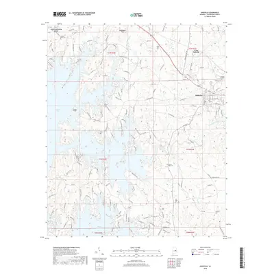
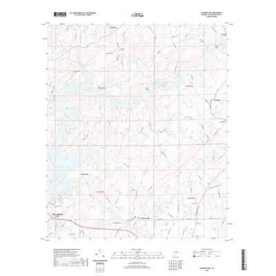 2020 Jacksons Gap2020 Print · USGSCovers Jacksons' Gap, including Alexander City, Sturdivant, and other nearby areas
 - 2024 Map of Jacksons Gap, 2024 Print
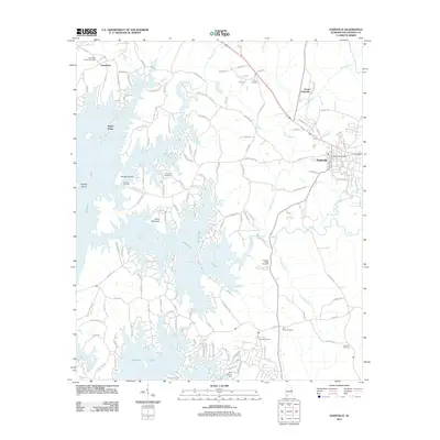
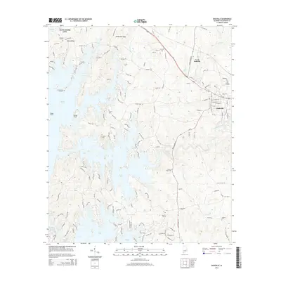
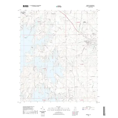
 2024 Jacksons Gap2024 Print · USGSTallapoosa County's shoreline and river bends come into focus in this recent survey of the area surrounding Jacksons Gap. Researchers can locate several historic burial sites like Jackson Field Cem and Woods Cem or trace the winding waters of Martin Lake.
 - 2024 Map of Dadeville, 2024 Print
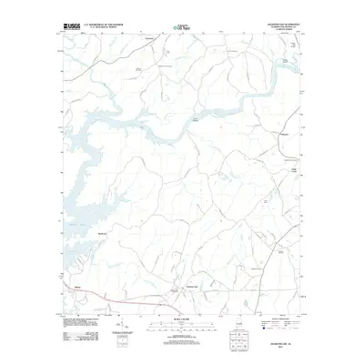
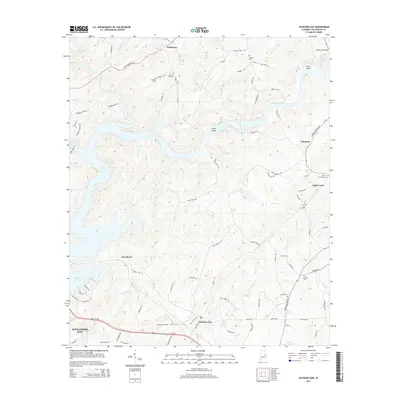
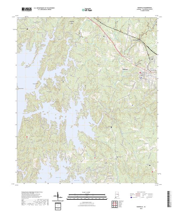 2024 Dadeville2024 Print · USGSTallapoosa County in the early twenty-first century reflects the long-standing importance of Dadeville and the expansive waters of Martin Lake. Researchers can locate numerous family burial sites, including the Old Rocky Mount Cem and Shepard Graveyard.
End of results
Showing maps 1-17 of 17
Top cities near Jacksons' Gap
- Alexander City historical maps
- Dadeville historical maps
- Goodwater historical maps
- Eclectic historical maps
- Camp Hill historical maps
- New Site historical maps
See more
Frequently asked questions
- What are the different types of historical maps available for Jacksons' Gap?
- What is the oldest map of Jacksons' Gap?
- Where can I purchase historical maps of Jacksons' Gap for my home or office?
- Where can I download high-res historical maps of Jacksons' Gap?
- Are there historical topographic maps available for Jacksons' Gap?
- Is there historical aerial imagery available for Jacksons' Gap?
- Where are historical maps of Jacksons' Gap sourced from?