Old Maps of Echola, Alabama for Genealogy
Trace your family roots with 10 historic maps of Echola. These high-res maps reveal old neighborhoods, homesites, landmarks, and streets — helping you uncover where your ancestors lived and how the area evolved over time.
- Explore historic neighborhoods: Identify where your relatives may have lived in the 1800s or 1900s.
- Compare maps over time: Trace the changes in streets, buildings, and landmarks for multi-generational research.
- Perfect for genealogy & ancestry research: Used by family historians and researchers to map out lineage and migration.
These maps are an incredible resource for exploring your personal connection to Echola's past.
Echola, AL maps
(10)- 1953 Map of Birmingham, 1964 Print
 1953 Birmingham1964 Print · USGSCentral Alabama at mid-century shows a landscape defined by industrial expansion and the iron-rich ridges surrounding Birmingham. Researchers can trace the extensive rail networks of the L & N RR or locate historic federal sites like the Anniston Ordnance Depot.4 unique versions available
 - 1956 Map of Birmingham
 1956 Birmingham1956 Print · USGSCentral Alabama in the mid-fifties exhibits a landscape of growing cities and deep-rooted industrial corridors. Genealogists and historians can trace the development of suburban Mountain Brook or locate regional hubs like Sylacauga and Jasper.
 - 1957 Map of Birmingham
 1957 Birmingham1957 Print · USGSNorth-Central Alabama in the mid-fifties is an industrial powerhouse centered on the steel valleys and sprawling iron ridges. Genealogists and historians can trace the rail-linked growth of Birmingham and Tuscaloosa, or locate rural landmarks like Talladega College and the Anniston Ordnance Depot.
 - 1967 Map of Elrod, 1968 Print
 1967 Elrod1968 Print · USGSTuscaloosa and Pickens Counties are captured here in the late sixties, as rural life centered on the Gulf Mobile and Ohio railroad. Genealogists and local historians can trace family-named sites like Wilburn Cem, Echola, and Shirley Bridge along the Sipsey River.2 unique versions available
 - 1984 Map of Tuscaloosa, 1985 Print
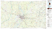 1984 Tuscaloosa1985 Print · USGSWest-central Alabama centers on the mid-1980s expansion of the university and the river economy. Genealogists and historians can trace small-town connections through Burchfield Store, North Johns, and the rail lines of the Southern railroad.2 unique versions available
 - 2011 Map of Elrod, 2011 Print
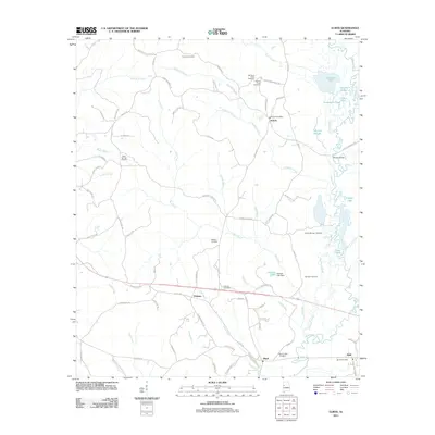 2011 Elrod2011 Print · USGSWestern Tuscaloosa County is documented here during the early twenty-first century as a landscape of rural crossroads and river bottomlands. Genealogists can locate numerous local landmarks including Mount Nebo Cemetery, the Echola Post Office, and the winding Sipsey River.
 - 2014 Map of Elrod, 2014 Print
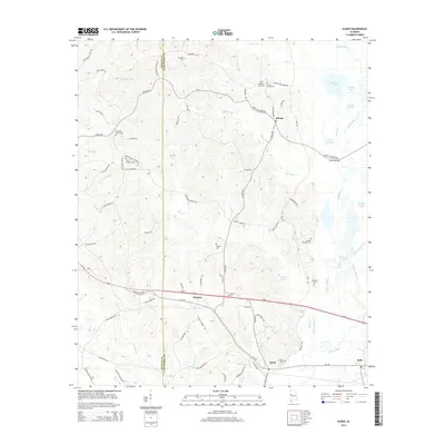 2014 Elrod2014 Print · USGSTuscaloosa County as it appeared in the early twenty-first century shows a landscape of river-bottom sloughs and upland family settlements. Genealogists can locate family landmarks like Mt Nebo Cem, Sand Springs Church, and Dennis Springer Cem.
 - 2018 Map of Elrod, 2018 Print
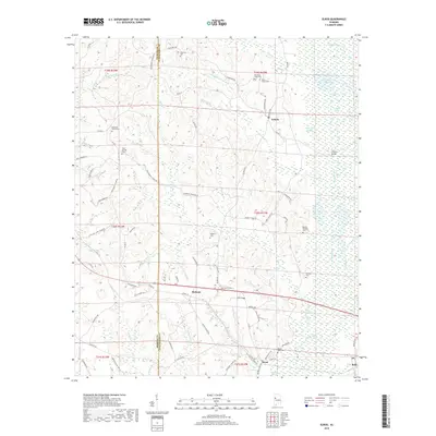 2018 Elrod2018 Print · USGSTuscaloosa County is surveyed here in the late 2010s, showcasing the intricate wetland geography surrounding the Sipsey River. Researchers can trace local lineage through several well-documented burial sites like Mount Nebo Cem and Corinth Cem near the settlement of Holman.
 - 2020 Map of Elrod, 2020 Print
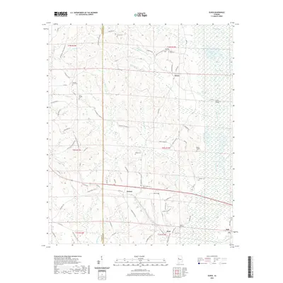 2020 Elrod2020 Print · USGSTuscaloosa County rural life is captured here in the years following the turn of the millennium, centered on the Sipsey River basin. Genealogists can trace family footprints at several burial grounds including Mount Nebo Cem and Corinth Cem near the town of Elrod.
 - 2024 Map of Elrod, 2024 Print
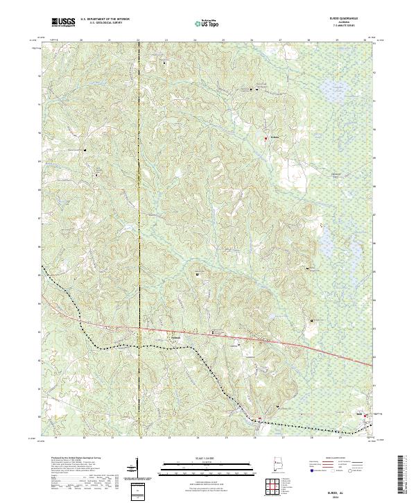 2024 Elrod2024 Print · USGSWest of Tuscaloosa in the early twenty-first century, this landscape is defined by the winding Sipsey River and its many backwater ponds. Genealogists and local historians can locate numerous small burial sites like Sand Springs Cem, Dennis Springer Cem, and the river crossing at Cleveland Ferry.
End of results
Showing maps 1-10 of 10
Top cities near Echola
- Tuscaloosa historical maps
- Northport historical maps
- Gordo historical maps
- Reform historical maps
- Coker historical maps
- Kennedy historical maps
Frequently asked questions
- What are the different types of historical maps available for Echola?
- What is the oldest map of Echola?
- Where can I purchase historical maps of Echola for my home or office?
- Where can I download high-res historical maps of Echola?
- Are there historical topographic maps available for Echola?
- Is there historical aerial imagery available for Echola?
- Where are historical maps of Echola sourced from?