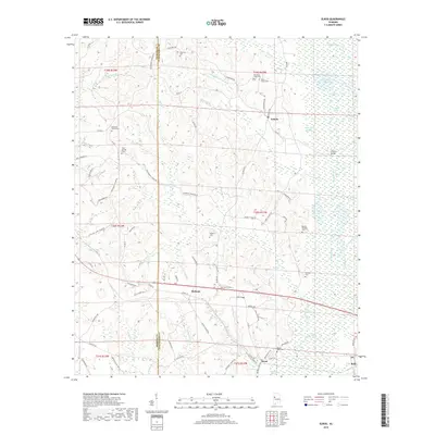
2018 Map of Elrod
USGS Topo · Published 2018About this map
The Sipsey River and its expansive Sipsey Swamp lowlands dominate the eastern landscape of this West Alabama region, defining the borders of Echola, Elrod, and Buhl. These settlements are linked by a network of rural routes such as Co Rd 140 and Holman Church Rd, which bypass the frequent flooding of the Oak Log Slough and Cleveland Creek bottoms. The geography reveals a high density of family and community burial grounds, including the Old Dunn Creek Cem, Pleasant Grove Cem, and Dennis Springer Cem, providing essential markers for genealogical research in this part of Tuscaloosa County.
Find a feature on this map
115 named features on this map. Tap any name to fly to it.
Don’t see what you’re looking for? This feature index may not catch every label — zoom into the map to look around manually.
Map Details
Editions of this 2018 Elrod Map
This is the sole edition of this map. No revisions or reprints were ever made.
Other maps of this area
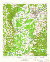
1924 · Tuscaloosa
USGS Topo · 1:62,500
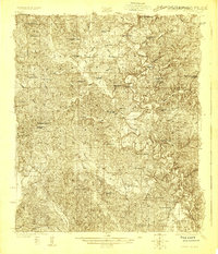
1926 · Samantha
USGS Topo · 1:48,000
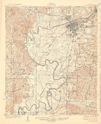
1926 · Tuscaloosa
USGS Topo · 1:62,500
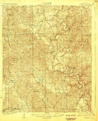
1928 · Samantha
USGS Topo · 1:62,500
1953 · Birmingham
USGS Topo · 1:250,000
1956 · Birmingham
USGS Topo · 1:250,000
1957 · Birmingham
USGS Topo · 1:250,000
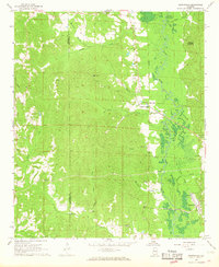
1967 · Brownville
USGS Topo · 1:24,000
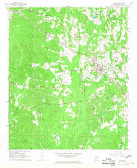
1967 · Gordo
USGS Topo · 1:24,000
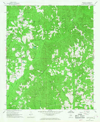
1967 · Palmetto
USGS Topo · 1:24,000