Old Maps of Pearson, Alabama for Hiking & Exploration
Hike through history with 14 historic maps of Pearson. Explore old trails, ghost towns, and forgotten backroads — perfect for outdoor adventurers and local explorers.
- Rediscover forgotten places: Map out old mining camps, roads, and footpaths that no longer exist on modern maps.
- Layer with modern tools: Combine with LiDAR or satellite views to plan hikes through historical terrain.
- Made for exploration: Popular among hikers, overlanders, and local history lovers.
Use these maps to find adventure and explore the hidden past of Pearson.
Pearson, AL maps
(14)- 1899 Map of Brookwood
 1899 Brookwood1899 Print · USGSCentral Alabama at the close of the nineteenth century is a landscape of growing mining towns and vital river crossings. Trace the early industrial rail lines like the Birmingham Mineral R. R. and locate family landmarks such as Weaver Mill, Pratt Ferry, and Providence Ch.4 unique versions available
 - 1931 Map of Cottondale
 1931 Cottondale1931 Print · USGSTuscaloosa County at the start of the 1930s shows a landscape of timber rails and rural churches. Genealogists and historians can trace the Kaul Lumber Co (Abandoned) line or locate old community centers like Andrews Chapel and Duncanville.
 - 1934 Map of Cottondale
 1934 Cottondale1934 Print · USGSDuring the mid-1930s, the rail corridors of the Southern Railway and Mobile and Ohio Railroad shaped the growth of eastern Tuscaloosa County. Genealogists can trace family footprints near Cottondale and Duncanville or locate long-standing landmarks like Emerson Chapel and Howell Sch.3 unique versions available
 - 1953 Map of Birmingham, 1964 Print
 1953 Birmingham1964 Print · USGSCentral Alabama at mid-century shows a landscape defined by industrial expansion and the iron-rich ridges surrounding Birmingham. Researchers can trace the extensive rail networks of the L & N RR or locate historic federal sites like the Anniston Ordnance Depot.4 unique versions available
 - 1956 Map of Birmingham
 1956 Birmingham1956 Print · USGSCentral Alabama in the mid-fifties exhibits a landscape of growing cities and deep-rooted industrial corridors. Genealogists and historians can trace the development of suburban Mountain Brook or locate regional hubs like Sylacauga and Jasper.
 - 1957 Map of Birmingham
 1957 Birmingham1957 Print · USGSNorth-Central Alabama in the mid-fifties is an industrial powerhouse centered on the steel valleys and sprawling iron ridges. Genealogists and historians can trace the rail-linked growth of Birmingham and Tuscaloosa, or locate rural landmarks like Talladega College and the Anniston Ordnance Depot.
 - 1969 Map of Pearson, 1972 Print
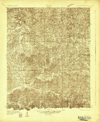
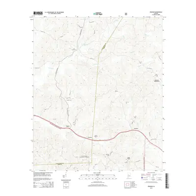
 1969 Pearson1972 Print · USGSBibb and Tuscaloosa Counties in the late sixties were defined by the heavy rail traffic of the Gulf Mobile and Ohio and the deep woods of the Talladega National Forest. Genealogists and local historians can trace the rural communities around Hagler, Pearson, and landmarks like Hubbard Springs Ch.3 unique versions available
 - 1984 Map of Tuscaloosa, 1985 Print
 1984 Tuscaloosa1985 Print · USGSWest-central Alabama centers on the mid-1980s expansion of the university and the river economy. Genealogists and historians can trace small-town connections through Burchfield Store, North Johns, and the rail lines of the Southern railroad.2 unique versions available
 - 2002 Map of Pearson, 2003 Print
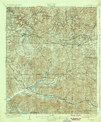
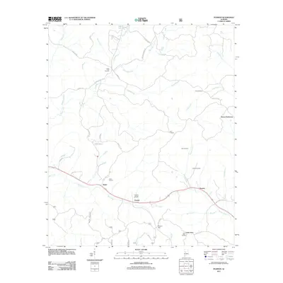
 2002 Pearson2003 Print · USGSBibb and Tuscaloosa counties are shown here at the turn of the millennium as modern infrastructure met the deep woods. Researchers can locate family landmarks like Hubbard Springs Ch, trace the banks of Big Sandy Creek, or find the small community of Pearson.
 - 2011 Map of Pearson, 2011 Print
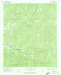
 2011 Pearson2011 Print · USGSCovers Pearson, including Hagler, Harmon, and other nearby areas
 - 2014 Map of Pearson, 2014 Print
 2014 Pearson2014 Print · USGSCovers Pearson, including Hagler, Harmon, and other nearby areas
 - 2018 Map of Pearson, 2018 Print
 2018 Pearson2018 Print · USGSCovers Pearson, including Hagler, Harmon, and other nearby areas
 - 2021 Map of Pearson, 2021 Print
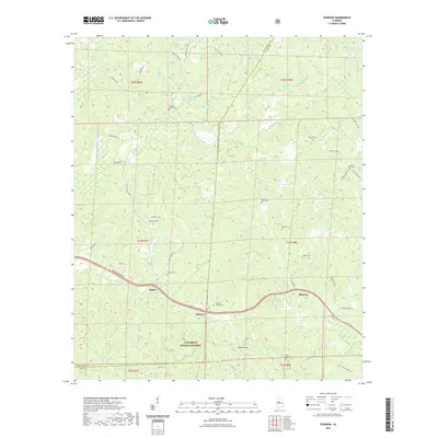 2021 Pearson2021 Print · USGSCovers Pearson, including Hagler, Harmon, and other nearby areas
 - 2024 Map of Pearson, 2024 Print
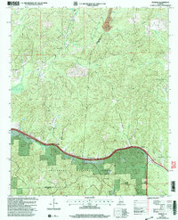
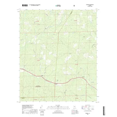
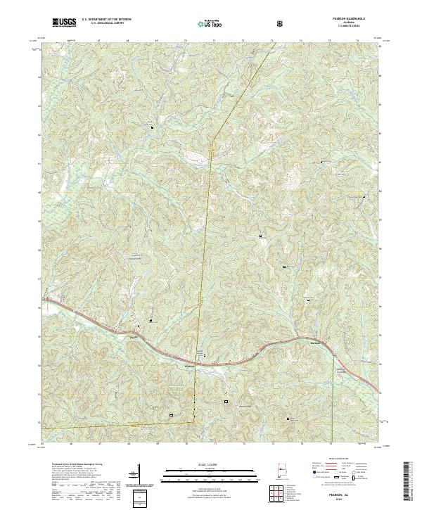 2024 Pearson2024 Print · USGSBibb and Tuscaloosa counties are documented here in the modern era as rural communities interface with the protected timberlands. Researchers can locate numerous family burial grounds and small settlements like Hagler, Pearson, and the Hubbard Springs Cem.
End of results
Showing maps 1-14 of 14
Top cities near Pearson
- Tuscaloosa historical maps
- Northport historical maps
- Holt historical maps
- Cottondale historical maps
- Brent historical maps
- Centreville historical maps
See more
Frequently asked questions
- What are the different types of historical maps available for Pearson?
- What is the oldest map of Pearson?
- Where can I purchase historical maps of Pearson for my home or office?
- Where can I download high-res historical maps of Pearson?
- Are there historical topographic maps available for Pearson?
- Is there historical aerial imagery available for Pearson?
- Where are historical maps of Pearson sourced from?