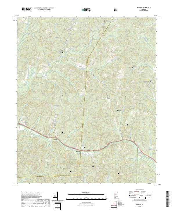
2024 Map of Pearson
USGS Topo · Published 2024About this map
Talladega National Forest encompasses much of the southern portion of this region, where the terrain is marked by the notable Pearson Gap. The landscape is a network of small watercourses including Big Sandy Creek, Haggard Creek, and Schultz Creek, which define the drainage patterns between the various ridges. Small settlements and crossroads like Hagler, Pearson, and Harmon are concentrated along the corridor of McFarland Blvd E and Co Rd 58, reflecting the area's development around these primary transit routes.
Find a feature on this map
63 named features on this map. Tap any name to fly to it.
Don’t see what you’re looking for? This feature index may not catch every label — zoom into the map to look around manually.
Map Details
Editions of this 2024 Pearson Map
This is the sole edition of this map. No revisions or reprints were ever made.
Other maps of this area

1899 · Brookwood
USGS Topo · 1:125,000

1931 · Cottondale
USGS Topo · 1:48,000

1934 · Cottondale
USGS Topo · 1:62,500

1934 · Blocton
USGS Topo · 1:48,000

1940 · Blocton
USGS Topo · 1:62,500

1953 · Montgomery
USGS Topo · 1:250,000

1953 · Birmingham
USGS Topo · 1:250,000

1956 · Birmingham
USGS Topo · 1:250,000

1956 · Montgomery
USGS Topo · 1:250,000

1957 · Birmingham
USGS Topo · 1:250,000