Old Maps of Akutan, Alaska for Genealogy
Trace your family roots with 7 historic maps of Akutan. These high-res maps reveal old neighborhoods, homesites, landmarks, and streets — helping you uncover where your ancestors lived and how the area evolved over time.
- Explore historic neighborhoods: Identify where your relatives may have lived in the 1800s or 1900s.
- Compare maps over time: Trace the changes in streets, buildings, and landmarks for multi-generational research.
- Perfect for genealogy & ancestry research: Used by family historians and researchers to map out lineage and migration.
These maps are an incredible resource for exploring your personal connection to Akutan's past.
Akutan, AK maps
(7)- 1951 Map of Unimak, 1952 Print
 1951 Unimak1952 Print · USGSThe Aleutian wilderness comes into focus in the early fifties, detailing the volcanic spine of Unimak Island and its surrounding straits. Maritime historians and researchers can locate remote outposts like Scotch Cap, the Cape Sarichef Lighthouse, and the massive Fisher Caldera.7 unique versions available
 - 1958 Map of Unimak
 1958 Unimak1958 Print · USGSThe Fox Islands at the height of the Cold War reveal a landscape of active volcanic peaks and remote maritime outposts. Researchers can trace the navigational history of Unimak Pass via Scotch Cap and locate industrial sites like the Whaling Sta on Akutan Island.
 - 1989 Map of Unimak A-6
 1989 Unimak A-61989 Print · USGSAkutan Island in the late eighties remains a remote maritime outpost between the Bering Sea and Pacific Ocean. Researchers can trace landforms and coastal markers like Akutan Harbor, Battery Point, and the navigation Light at North Head.
 - 2020 Map of Unimak A-6 SW, 2020 Print
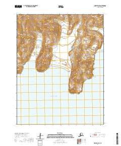 2020 Unimak A-6 SW2020 Print · USGSThe southern coast of Unimak Island appears in its raw, natural state during the early twenty-first century. Researchers can trace the rugged shoreline from Cascade Bight to Broad Bight, noting the elevations at Angiididax and the prominent Battery Point.
 - 2020 Map of Unimak A-6 SE, 2020 Print
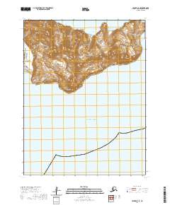 2020 Unimak A-6 SE2020 Print · USGSThe northern reaches of Unimak Island meet the Pacific in 2020, documenting a landscape of steep coastal ridges and Indigenous toponyms. Trace the landform details of Talus Point, Vulcan Point, and the high elevations of Ayagaa Tunutux along this secluded coastline.
 - 2020 Map of Unimak A-6 NW, 2020 Print
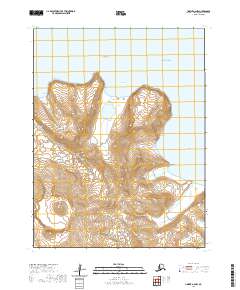 2020 Unimak A-6 NW2020 Print · USGSAkutan Island and the surrounding Fox Islands are mapped here in the Aleutians at the start of the 2020s. Trace the coastal topography from Akutan Peak down to Hot Springs Bay and the shoreline at Open Bight.
 - 2020 Map of Unimak A-6 NE, 2020 Print
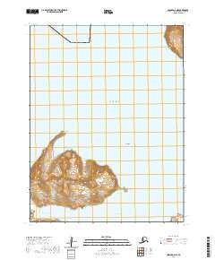 2020 Unimak A-6 NE2020 Print · USGSThe northern coast of Akutan Island is captured here in the early twenty-first century, showing the volcanic peaks and deep-water inlets of the Aleutians. Map collectors and researchers can trace the coastal topography from Akutan Point to the shores of Sandy Cove.
End of results
Showing maps 1-7 of 7
Frequently asked questions
- What are the different types of historical maps available for Akutan?
- What is the oldest map of Akutan?
- Where can I purchase historical maps of Akutan for my home or office?
- Where can I download high-res historical maps of Akutan?
- Are there historical topographic maps available for Akutan?
- Is there historical aerial imagery available for Akutan?
- Where are historical maps of Akutan sourced from?