Old Maps of Clam Gulch, Alaska for Genealogy
Trace your family roots with 8 historic maps of Clam Gulch. These high-res maps reveal old neighborhoods, homesites, landmarks, and streets — helping you uncover where your ancestors lived and how the area evolved over time.
- Explore historic neighborhoods: Identify where your relatives may have lived in the 1800s or 1900s.
- Compare maps over time: Trace the changes in streets, buildings, and landmarks for multi-generational research.
- Perfect for genealogy & ancestry research: Used by family historians and researchers to map out lineage and migration.
These maps are an incredible resource for exploring your personal connection to Clam Gulch's past.
Clam Gulch, AK maps
(8)- 1944 Map of Kenai, 1954 Print
 1944 Kenai1954 Print · USGSThe Kenai Peninsula and Cook Inlet are captured here during a period of postwar growth, just as the regional road system began to expand. Genealogists and historians can trace early settlements and family landmarks such as Salamatoff, Stelters Ranch, and the Snug Harbor Cannery.4 unique versions available
 - 1950 Map of Kenai
 1950 Kenai1950 Print · USGSThe Kenai Peninsula and Cook Inlet appear here during a pivotal era of mid-century growth and road construction. Researchers can trace the early layout of Soldotna, locate the Snug Harbor Cannery, and see the footprint of Salamatof.2 unique versions available
 - 1951 Map of Kenai A-4, 1974 Print
 1951 Kenai A-41974 Print · USGSThe western Kenai Peninsula in the early 1950s reveals a wilderness transition between the Cook Inlet coast and the interior moose range. Researchers can trace the development of the Sterling Highway and locate early sites like Clam Gulch and the Kasilof River.2 unique versions available
 - 1952 Map of Kenai A-4, 1954 Print
 1952 Kenai A-41954 Print · USGSThe Kenai Peninsula coastline and interior wilderness are captured in the early fifties as infrastructure began to reach into the territory. Researchers can locate the Clam Gulch Store, trace the early Sterling Highway, and explore the margins of the Kenai National Moose Range.3 unique versions available
 - 1958 Map of Kenai, 1967 Print
 1958 Kenai1967 Print · USGSThe Kenai Peninsula and Cook Inlet are captured here during a period of mid-century growth and wilderness management. Researchers can trace early settlements and infrastructure like Nikishka No 1, Salamatof, and the Wildwood Military Reservation.6 unique versions available
 - 1987 Map of Kenai A-4 NW
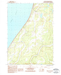 1987 Kenai A-4 NW1987 Print · USGSThe western Kenai Peninsula shore appears in the late twentieth century as a landscape of coastal bluffs and tidal flats. Researchers can trace the early infrastructure near Clam Gulch, including a local Landing Strip and the course of the Ninilchik River.
 - 2018 Map of Kenai A-4 NW, 2018 Print
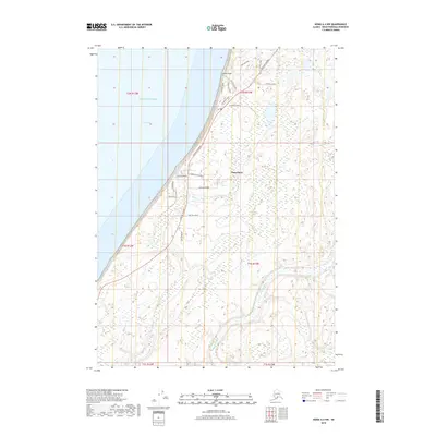 2018 Kenai A-4 NW2018 Print · USGSThe community of Clam Gulch overlooking Cook Inlet is shown in this recent survey of the Kenai Peninsula's western coast. Genealogists and local historians can trace modern property access via Homestead Drive or follow the path of the Ninilchik River through the southern wetlands.
 - 2024 Map of Kenai A-4 NW, 2024 Print
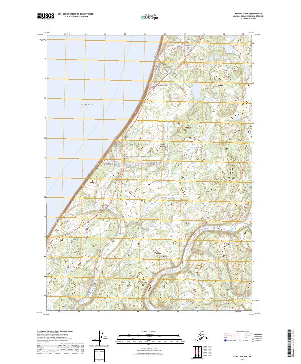 2024 Kenai A-4 NW2024 Print · USGSCoastal Kenai Peninsula settlement is captured here in the early twenty-first century as local roads expand along the inlet. Genealogists and residents can trace property access via Homestead Drive and Clammers Haven Drive near Clam Gulch.
End of results
Showing maps 1-8 of 8
Frequently asked questions
- What are the different types of historical maps available for Clam Gulch?
- What is the oldest map of Clam Gulch?
- Where can I purchase historical maps of Clam Gulch for my home or office?
- Where can I download high-res historical maps of Clam Gulch?
- Are there historical topographic maps available for Clam Gulch?
- Is there historical aerial imagery available for Clam Gulch?
- Where are historical maps of Clam Gulch sourced from?