Old Maps of Kachemak City, Alaska for Genealogy
Trace your family roots with 8 historic maps of Kachemak City. These high-res maps reveal old neighborhoods, homesites, landmarks, and streets — helping you uncover where your ancestors lived and how the area evolved over time.
- Explore historic neighborhoods: Identify where your relatives may have lived in the 1800s or 1900s.
- Compare maps over time: Trace the changes in streets, buildings, and landmarks for multi-generational research.
- Perfect for genealogy & ancestry research: Used by family historians and researchers to map out lineage and migration.
These maps are an incredible resource for exploring your personal connection to Kachemak City's past.
Kachemak City, AK maps
(8)- 1948 Map of Seldovia C-4, 1955 Print
 1948 Seldovia C-41955 Print · USGSThe Kachemak Bay coastline comes alive in the mid-1940s, showing the early infrastructure of the Homer area before its modern expansion. Genealogists and researchers can locate old landmarks like Millers Landing, the original Homer Airport, and the Sawmill along the waterfront.2 unique versions available
 - 1949 Map of Seldovia C-4
 1949 Seldovia C-41949 Print · USGSKachemak Bay and the Kenai Peninsula shoreline are captured here in the late 1940s, showing early maritime and aviation development. Trace the origins of local industry and navigation at Millers Landing, the Homer Spit, and the Homer Airport.
 - 1951 Map of Seldovia, 1952 Print
 1951 Seldovia1952 Print · USGSThe lower Kenai Peninsula appears here in the early fifties as a network of coastal outposts and maritime landing sites. Researchers can trace early settlements like Seldovia, locate family-named points such as Millers Landing, and explore the limits of the Kenai National Moose Range.8 unique versions available
 - 1961 Map of Seldovia C-4, 1962 Print
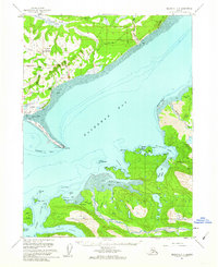 1961 Seldovia C-41962 Print · USGSThe Kenai Peninsula shoreline and the waters of Kachemak Bay come into sharp focus in the early sixties. You can trace the development of Homer and the Homer Spit, or locate isolated landmarks like the Lighthouse near Halibut Cove.3 unique versions available
 - 1963 Map of Seldovia, 1967 Print
 1963 Seldovia1967 Print · USGSThe lower Kenai Peninsula in the 1960s reveals a rugged coastal frontier where the highway finally meets the sea at Homer. Researchers can trace old settlements and family sites at Happy Valley, Stariski, and the Indian Village near Seldovia.5 unique versions available
 - 1987 Map of Seldovia C-4 NW
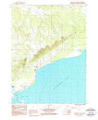 1987 Seldovia C-4 NW1987 Print · USGSThe Kenai Peninsula coastline near Homer in the late 1980s shows a community balanced between its maritime roots and highland ridges. Researchers can trace the development of Kachemak City, locate the Municipal Airport, and follow the winding path of Skyline Drive.
 - 2018 Map of Seldovia C-4 NW, 2018 Print
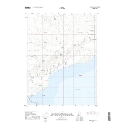 2018 Seldovia C-4 NW2018 Print · USGSCovers Kachemak City, including Homer, Fritz Creek, and other nearby areas
 - 2024 Map of Seldovia C-4 NW, 2024 Print
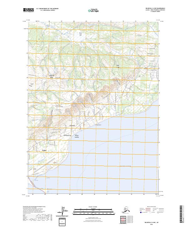 2024 Seldovia C-4 NW2024 Print · USGSThe Kenai Peninsula coastline near Kachemak Bay is shown here in its modern configuration, where the shoreline meets the rising interior ridges. Genealogists and local researchers can trace the roads and homesteads near Diamond Ridge, Kachemak City, and the prominent Homer Spit.
End of results
Showing maps 1-8 of 8
Top cities near Kachemak City
Frequently asked questions
- What are the different types of historical maps available for Kachemak City?
- What is the oldest map of Kachemak City?
- Where can I purchase historical maps of Kachemak City for my home or office?
- Where can I download high-res historical maps of Kachemak City?
- Are there historical topographic maps available for Kachemak City?
- Is there historical aerial imagery available for Kachemak City?
- Where are historical maps of Kachemak City sourced from?