Old Maps of Nakeen, Alaska for Academic Research
Study the evolution of Nakeen with 5 high-resolution historic maps. Whether you're teaching, researching, or modeling changes in land use, these maps provide essential visual documentation of urban, environmental, and geographic change.
- Analyze long-term change: Track patterns in development, transportation, and natural features.
- Ideal for environmental or urban studies: Support academic projects with primary historical map data.
- Use in the classroom or lab: Educators and researchers rely on these maps to bring historical context to life.
These maps are a powerful tool for teaching, research, and visualizing how Nakeen has changed over the decades.
Nakeen, AK maps
(5)- 1952 Map of Naknek, 1953 Print
 1952 Naknek1953 Print · USGSBristol Bay at the dawn of the fifties reveals a world of salmon canneries and strategic outposts. Genealogists and historians can trace old coastal settlements like Koggiung and Libbyville or locate early facilities at Naknek Air Base.10 unique versions available
 - 1952 Map of Naknek D-4, 1963 Print
 1952 Naknek D-41963 Print · USGSBristol Bay's coastal landscape and fishing outposts are captured here in the early fifties. Researchers can trace seasonal transport routes like the Winter Trail and locate commercial hubs at Koggiung, Nakeen, and Libbyville.3 unique versions available
 - 1964 Map of Naknek
 1964 Naknek1964 Print · USGSBristol Bay and the Alaska Peninsula come into focus in the mid-1960s, a time when coastal life centered on the great river estuaries. Genealogists and historians can trace the foundations of local industry at Libbyville, the military's footprint at King Salmon Air Force Base, and the path of the Winter Trail.
 - 2019 Map of Naknek D-4 NE, 2019 Print
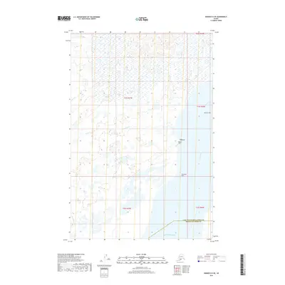 2019 Naknek D-4 NE2019 Print · USGSThe Bristol Bay coast comes into focus in this recent study of the Kvichak River estuary. Researchers can trace the layout of Nakeen and its shoreline features like Telephone Point, Sea Gull Flat, and the Nakeen Airport.
 - 2023 Map of Naknek D-4 NE, 2023 Print
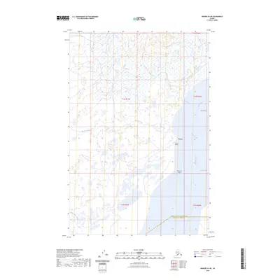 2023 Naknek D-4 NE2023 Print · USGSNear the Kvichak River during the 2020s, this area reflects the remote coastal infrastructure of the Bristol Bay region. Researchers can trace the layout of Nakeen and its local Nakeen Airport alongside natural landmarks like Sea Gull Flat.
End of results
Showing maps 1-5 of 5
Frequently asked questions
- What are the different types of historical maps available for Nakeen?
- What is the oldest map of Nakeen?
- Where can I purchase historical maps of Nakeen for my home or office?
- Where can I download high-res historical maps of Nakeen?
- Are there historical topographic maps available for Nakeen?
- Is there historical aerial imagery available for Nakeen?
- Where are historical maps of Nakeen sourced from?