
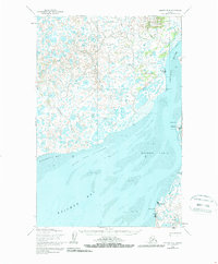
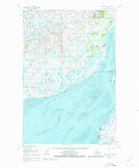
1952 Map of Naknek D-4
USGS Topo · Published 1963About this map
The vast coastal lowlands of Bristol Bay are meticulously documented in this 1952 study, showing a landscape defined by shifting Salmon Flats and tidal dynamics. Settlement patterns along the eastern bank of the Kvichak River reveal the area's maritime reliance, with clusters at Koggiung, Nakeen, and Libbyville. The presence of a Saltery (Aband) and a dedicated Landing Area near Graveyard Pt suggests the importance of the seasonal fishing industry and transportation in this remote subarctic region.
Find a feature on this map
22 named features on this map. Tap any name to fly to it.
Don’t see what you’re looking for? This feature index may not catch every label — zoom into the map to look around manually.
Map Details
Editions of this 1952 Naknek D-4 Map
3 editions found
Other maps of this area

1951 · Dillingham
USGS Topo · 1:250,000

1952 · Naknek
USGS Topo · 1:250,000

1952 · Naknek C-5
USGS Topo · 1:63,360

1952 · Dillingham A-4
USGS Topo · 1:63,360

1952 · Naknek C-3
USGS Topo · 1:63,360

1952 · Naknek D-5
USGS Topo · 1:63,360

1952 · Dillingham A-3
USGS Topo · 1:63,360

1952 · Naknek D-3
USGS Topo · 1:63,360

1952 · Naknek C-4
USGS Topo · 1:63,360

1954 · Dillingham
USGS Topo · 1:250,000