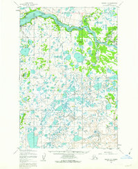
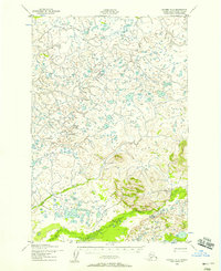
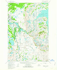
1952 Map of Naknek C-3
USGS Topo · Published 1962About this map
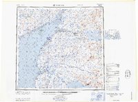
The Naknek River dominates this 1952 Alaskan landscape, serving as the central artery for the region's early salmon industry and transportation. Coastal settlements like South Naknek and King Salmon are positioned at critical junctions, while interior camps and landmarks such as Savonoski and Kanaknok line the riverbanks. The importance of the maritime economy is evident through features like the Cannery at Coffee Pt and numerous named points like Telephone Pt and Omakstalia Pt that guided navigation through the Tidal Flat.
Find a feature on this map
34 named features on this map. Tap any name to fly to it.
Don’t see what you’re looking for? This feature index may not catch every label — zoom into the map to look around manually.
Map Details
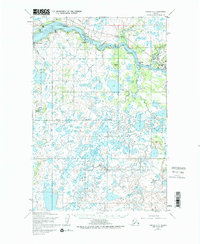
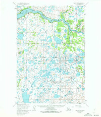
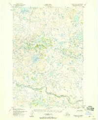
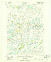
Editions of this 1952 Naknek C-3 Map
3 editions found
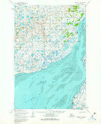
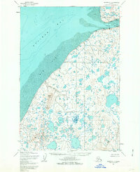
Other maps of this area
1952 · Naknek
USGS Topo · 1:250,000
1952 · Naknek D-2
USGS Topo · 1:63,360
1952 · Naknek B-3
USGS Topo · 1:63,360
1952 · Naknek B-4
USGS Topo · 1:63,360
1952 · Naknek B-2
USGS Topo · 1:63,360
1952 · Naknek C-2
USGS Topo · 1:63,360
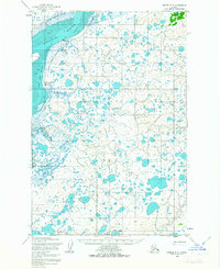
1952 · Naknek D-3
USGS Topo · 1:63,360
1952 · Naknek D-4
USGS Topo · 1:63,360
1952 · Naknek C-4
USGS Topo · 1:63,360
1964 · Naknek
USGS Topo · 1:250,000