
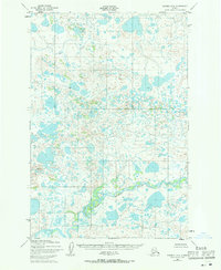
1952 Map of Naknek B-4
USGS Topo · Published 1958About this map
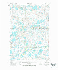
The King Salmon River flows through a landscape defined by an intricate network of kettle lakes and wetlands in the Lake and Peninsula area of Alaska. Mapped from aerial photography taken in 1951, this survey documents the hydrography of the Alaska-Third Judicial Division before significant modern development. The meandering course of the river is joined by Big Creek in the northern portion of the quadrangle, illustrating the complex drainage patterns of this subarctic terrain. The sheer density of unnamed water bodies across the tundra reflects the post-glacial character of the region, providing a primary record of the natural topography as it existed in the mid-twentieth century.
Find a feature on this map
2 named features on this map. Tap any name to fly to it.
Don’t see what you’re looking for? This feature index may not catch every label — zoom into the map to look around manually.
Map Details
Editions of this 1952 Naknek B-4 Map
3 editions found
Other maps of this area

1951 · Naknek A-5
USGS Topo · 1:63,360

1951 · Naknek A-4
USGS Topo · 1:63,360

1951 · Naknek A-3
USGS Topo · 1:63,360

1952 · Naknek
USGS Topo · 1:250,000

1952 · Naknek B-3
USGS Topo · 1:63,360

1952 · Naknek C-5
USGS Topo · 1:63,360

1952 · Naknek B-5
USGS Topo · 1:63,360

1952 · Naknek C-3
USGS Topo · 1:63,360

1952 · Naknek C-4
USGS Topo · 1:63,360

1964 · Naknek
USGS Topo · 1:250,000