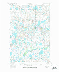
1952 Map of Naknek B-4
USGS Topo · Published 1971About this map
The King Salmon River meanders across the southern portion of this landscape, its complex channel and associated wetlands reflecting the dynamic hydrology of the region in the early 1950s. This territory, largely defined by its intricate network of lakes and swampy lowlands, remains unpopulated with no roads or trails recorded at the time of the survey. In the northern reaches, Big Creek drains through a dense cluster of water bodies, illustrating the glacial and periglacial features that dominate the terrain between the survey townships. The mapping, based on aerial photography from 1951, provides a clear record of the undisturbed drainage patterns and surface water distribution before later development or environmental changes might have altered these remote Alaskan watercourses.
Find a feature on this map
7 named features on this map. Tap any name to fly to it.
Don’t see what you’re looking for? This feature index may not catch every label — zoom into the map to look around manually.
Map Details
Editions of this 1952 Naknek B-4 Map
3 editions found
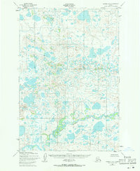
Other maps of this area

1951 · Naknek A-5
USGS Topo · 1:63,360

1951 · Naknek A-4
USGS Topo · 1:63,360

1951 · Naknek A-3
USGS Topo · 1:63,360

1952 · Naknek
USGS Topo · 1:250,000

1952 · Naknek B-3
USGS Topo · 1:63,360

1952 · Naknek C-5
USGS Topo · 1:63,360

1952 · Naknek B-4
USGS Topo · 1:63,360

1952 · Naknek B-5
USGS Topo · 1:63,360

1952 · Naknek C-3
USGS Topo · 1:63,360

1952 · Naknek C-4
USGS Topo · 1:63,360