
1952 Map of Naknek C-2
USGS Topo · Published 1962About this map
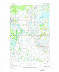
King Salmon stands as a vital hub for transportation and communication along the Naknek River in the early 1950s. This survey, compiled from 1951 aerial photography, details the critical infrastructure of the era, including the Airport, Radio Towers, and Seaplane Docks that linked this Bristol Bay outpost to the wider territory. The landscape is defined by the convergence of the Salmon River and Eskimo Creek with the larger river system, leading toward the expansive Naknek Lake.
Find a feature on this map
15 named features on this map. Tap any name to fly to it.
Don’t see what you’re looking for? This feature index may not catch every label — zoom into the map to look around manually.
Map Details
Editions of this 1952 Naknek C-2 Map
2 editions found
Other maps of this area

1951 · Naknek D-1
USGS Topo · 1:63,360

1951 · Naknek B-1
USGS Topo · 1:63,360

1951 · Naknek C-1
USGS Topo · 1:63,360

1952 · Naknek
USGS Topo · 1:250,000

1952 · Naknek D-2
USGS Topo · 1:63,360

1952 · Naknek B-3
USGS Topo · 1:63,360

1952 · Naknek B-2
USGS Topo · 1:63,360

1952 · Naknek C-3
USGS Topo · 1:63,360

1952 · Naknek D-3
USGS Topo · 1:63,360

1964 · Naknek
USGS Topo · 1:250,000