
1954 Map of Dillingham
USGS Topo · Published 1967About this map
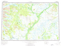
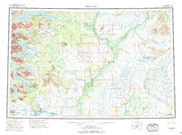
Dillingham and Kanakanak sit at the junction of Bristol Bay and the Nushagak River, serving as the primary hub for this expansive river-and-lake system in the mid-1950s. The landscape is defined by the massive drainage basins of the Mulchatna River and Kvichak River, where small settlements like New Stuyahok and Ekwok are linked more by water and Winter Trails than by any modern road network. To the west, the Wood River Mountains rise above a series of deep glacial lakes including Lake Aleknagik, Lake Beverley, and Lake Nerka. This survey captures the region's mid-century character, showing essential infrastructure such as the Seaplane Anchorage and local points like Snag Pt and Grassy Pt that provided navigational markers for the bush pilots and fishermen who worked these coastal and inland waters.
Find a feature on this map
74 named features on this map. Tap any name to fly to it.
Don’t see what you’re looking for? This feature index may not catch every label — zoom into the map to look around manually.
Map Details
Editions of this 1954 Dillingham Map
3 editions found
Other maps of this area

1945 · Nushagak Bay
USGS Topo · 1:250,000

1946 · Lake Clark
USGS Topo · 1:250,000

1948 · Mt Katmai
USGS Topo · 1:250,000

1948 · Nushagak Bay D-4
USGS Topo · 1:63,360

1948 · Nushagak Bay D-3
USGS Topo · 1:63,360

1949 · Nushagak Bay
USGS Topo · 1:250,000

1950 · Bethel
USGS Topo · 1:250,000

1950 · Taylor Mountains
USGS Topo · 1:250,000

1951 · Lake Clark
USGS Topo · 1:250,000

1951 · Taylor Mountains
USGS Topo · 1:250,000