Old Maps of Deshka Landing, Alaska for Hiking & Exploration
Hike through history with 9 historic maps of Deshka Landing. Explore old trails, ghost towns, and forgotten backroads — perfect for outdoor adventurers and local explorers.
- Rediscover forgotten places: Map out old mining camps, roads, and footpaths that no longer exist on modern maps.
- Layer with modern tools: Combine with LiDAR or satellite views to plan hikes through historical terrain.
- Made for exploration: Popular among hikers, overlanders, and local history lovers.
Use these maps to find adventure and explore the hidden past of Deshka Landing.
Deshka Landing, AK maps
(9)- 1949 Map of Tyonek, 1954 Print
 1949 Tyonek1954 Print · USGSUpper Cook Inlet and the Alaska Range appear here in the mid-twentieth century as a landscape of massive glaciers and river-bound outposts. Researchers can trace the early rail corridor through Willow, locate the Moquawkie Indian Reservation, and find the site of McDougall.2 unique versions available
 - 1951 Map of Tyonek
 1951 Tyonek1951 Print · USGSThe Cook Inlet and the Alaska Range come into focus in the early fifties as the region's rail and trail networks evolved. Trace the path of the Alaska Railroad through Willow or locate the historic Iditarod Trail near Susitna.
 - 1952 Map of Tyonek C-1
 1952 Tyonek C-11952 Print · USGSThe Matanuska-Susitna region comes into focus during the early fifties, showing the frontier development of the rail-and-air network. Researchers can trace the early layout of Willow and locate the Willow Station Airstrip near Willow Lake.
 - 1958 Map of Tyonek C-1, 1962 Print
 1958 Tyonek C-11962 Print · USGSThe Matanuska-Susitna Valley is captured here in the late fifties, showing a wilderness being opened by The Alaska Railroad. Researchers can locate remote Cabins, the early Willow Station Airstrip, and inland access points along the Tractor Trail.3 unique versions available
 - 1958 Map of Tyonek, 1964 Print
 1958 Tyonek1964 Print · USGSUpper Cook Inlet and the Susitna River valley are shown in the late fifties, capturing a period of transition between coastal village life and inland development. Researchers can trace the Winter Trail and Tractor Trail paths to settlements like Alexander and Susitna.6 unique versions available
 - 1965 Map of Tyonek
 1965 Tyonek1965 Print · USGSUpper Cook Inlet in the mid-sixties reveals a landscape defined by massive glaciers and the early footprints of coastal settlements. Trace the rail-and-river network from The Alaska Railroad to isolated outposts like Old Tyonek, Ladd, and the Moquawkie (Tyonek) Indian Reservation.
 - 1993 Map of Tyonek C-1, 2002 Print
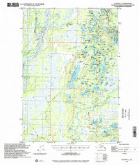 1993 Tyonek C-12002 Print · USGSThe Susitna Valley in the early 1990s shows a landscape of wilderness transit, from the historic Iditarod Trail to the Parks Highway. Researchers can trace remote Cabins along the Deshka River and the development surrounding Willow Airport.
 - 2016 Map of Tyonek C-1 NW, 2016 Print
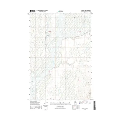 2016 Tyonek C-1 NW2016 Print · USGSCovers Deshka Landing, including Matanuska-Susitna, United States, and other nearby areas
 - 2023 Map of Tyonek C-1 NW, 2023 Print
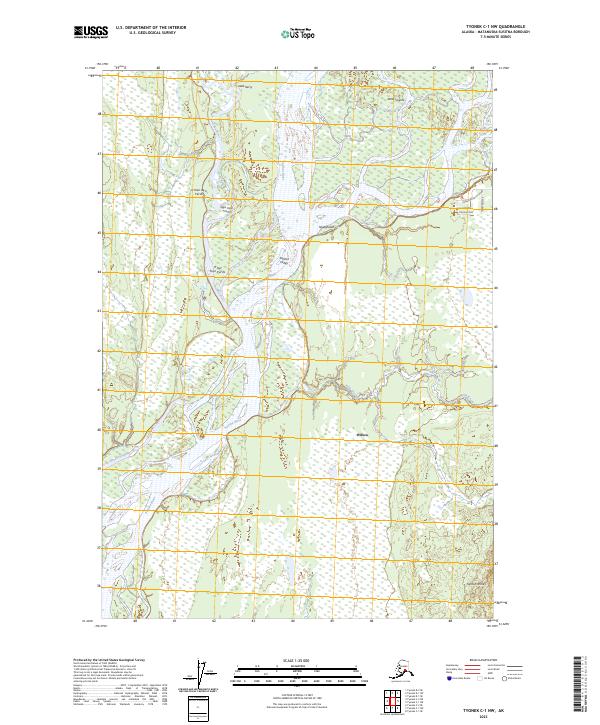 2023 Tyonek C-1 NW2023 Print · USGSThe Susitna River valley in the early twenty-first century reveals a landscape defined by shifting channels and indigenous heritage. Local historians and river users can trace access routes like Deshka Landing Road and find named landmarks such as Tanltun Tesha and Kroto Slough.
End of results
Showing maps 1-9 of 9
Top cities near Deshka Landing
Frequently asked questions
- What are the different types of historical maps available for Deshka Landing?
- What is the oldest map of Deshka Landing?
- Where can I purchase historical maps of Deshka Landing for my home or office?
- Where can I download high-res historical maps of Deshka Landing?
- Are there historical topographic maps available for Deshka Landing?
- Is there historical aerial imagery available for Deshka Landing?
- Where are historical maps of Deshka Landing sourced from?