2020s Maps of Prince of Wales-Hyder, Alaska
Explore 157 historic maps of Prince of Wales-Hyder from the 2020s. These maps offer a rare glimpse into what life looked like during the 2020s — showing old roads, neighborhoods, homes, and landmarks that have changed or disappeared over time.
Whether you're researching your family's past, planning a metal detecting trip, or studying how Prince of Wales-Hyder's landscape evolved across the 2020s, these high-resolution maps are a powerful tool for exploring the history of this region.
- Focus on a specific era: All maps on this page are from the 2020s, giving you a focused view of this time period.
- See what’s changed: Compare century-old streets, trails, and buildings to today's modern landscape using overlays and satellite layers.
- Research with precision: Use these maps for genealogy, historical research, land use analysis, or educational projects.
- View, download, or print: Maps are fully viewable online in high resolution, and can be downloaded or printed for your own records.
Start exploring Prince of Wales-Hyder's history through authentic maps from the 2020s. This is your window into the past.
Prince of Wales-Hyder, AK maps
(157)- 2020 Map of Craig A-5 SE, 2020 Print
 2020 Craig A-5 SE2020 Print · USGSCovers Prince of Wales-Hyder, including Unorganized Borough, United States, and other nearby areas
 - 2020 Map of Petersburg A-6 NE, 2020 Print
 2020 Petersburg A-6 NE2020 Print · USGSCovers Prince of Wales-Hyder, including Petersburg Borough, Unorganized Borough, and other nearby areas
 - 2021 Map of Craig D-3 SW, 2021 Print
 2021 Craig D-3 SW2021 Print · USGSPrince of Wales Island in the early 2020s shows a dense network of forest roads and remote water routes through the Tongass National Forest. Trace the path of the Honker Divide Canoe Route Trl or locate landmarks like Log Tom Ridge and Toms Lake.
 - 2021 Map of Dixon Entrance D-4 NW, 2021 Print
 2021 Dixon Entrance D-4 NW2021 Print · USGSThe maritime reaches of the Prince of Wales-Hyder Census Area are charted in the early twenty-first century, showing the remote coast of the Tongass National Forest. Researchers can pinpoint the specific shoreline at Welcome Point and trace the coastal grid of the Gulf of Alaska.
 - 2021 Map of Dixon Entrance D-5 NW, 2021 Print
 2021 Dixon Entrance D-5 NW2021 Print · USGSThe open waters and protected coastlines of the Alexander Archipelago are charted in this 2021 maritime survey. Researchers can trace the boundaries of the Alaska Maritime National Wildlife Refuge and the Tongass National Forest where they meet the Gulf of Alaska.
 - 2021 Map of Craig D-3 NE, 2021 Print
 2021 Craig D-3 NE2021 Print · USGSCoastal timberlands and the settlement of Coffman Cove are the focus of this contemporary look at Prince of Wales Island. Researchers can trace forest management roads and topographical landmarks like Baird Peak, Luck Lake, and Refrigerator Valley.
 - 2021 Map of Bradfield Canal A-1 SE, 2021 Print
 2021 Bradfield Canal A-1 SE2021 Print · USGSThe Alaskan wilderness along the international border is captured here in the early twenty-first century, centered on the Tongass National Forest. Researchers can trace the rugged corridor of State Highway 12 - Salmon River and identify landmarks like Mineral Hill and Ninemile Mtn.
 - 2021 Map of Craig D-2 NW, 2021 Print
 2021 Craig D-2 NW2021 Print · USGSThe eastern coast of Prince of Wales Island comes into focus during the early twenty-first century, showing the rugged intersection of timberland and tidal waters. Map collectors and researchers can trace forest access via the 3025500 Road Trl or locate landmarks like Ratz Harbor and Trumpeter Lake.
 - 2021 Map of Bradfield Canal A-1 SW, 2021 Print
 2021 Bradfield Canal A-1 SW2021 Print · USGSThe international boundary meets the massive ice fields of the Coast Mountains in this recent survey of the Alaska wilderness. Researchers can trace the glaciated drainages of Texas Glacier, Texas Lake, and the high peaks of Mt Jefferson Coolidge.
 - 2021 Map of Ketchikan D-2 NE, 2021 Print
 2021 Ketchikan D-2 NE2021 Print · USGSThe Alaskan wilderness of the early 2020s comes into focus in this survey of the northern Tongass. Researchers can trace the path of the S Fork Chickamin River and locate the massive Through Glacier among the ridges.
 - 2021 Map of Ketchikan D-1 SW, 2021 Print
 2021 Ketchikan D-1 SW2021 Print · USGSSoutheast Alaska’s glaciated wilderness is documented in this recent survey of the coastal mountains. Researchers can trace the drainage of the Soule Glacier into the Soule River or locate the summit of Mt Hayford along the borough boundaries.
 - 2021 Map of Ketchikan D-1 SE, 2021 Print
 2021 Ketchikan D-1 SE2021 Print · USGSThe international boundary at the Portland Canal comes into focus in this recent survey of the Alaska-Canada border. Researchers can trace the rugged shoreline from Yankee Point to Glacier Point and follow the paths of the Soule River and Georgie River.
 - 2021 Map of Ketchikan D-1 NW, 2021 Print
 2021 Ketchikan D-1 NW2021 Print · USGSSoutheast Alaska in the early twenty-first century reveals a rugged mountain landscape divided between administrative boroughs. Trace the high peaks of the Lincoln Mountains and the winding course of the Davis River through the Tongass National Forest.
 - 2021 Map of Ketchikan D-1 NE, 2021 Print
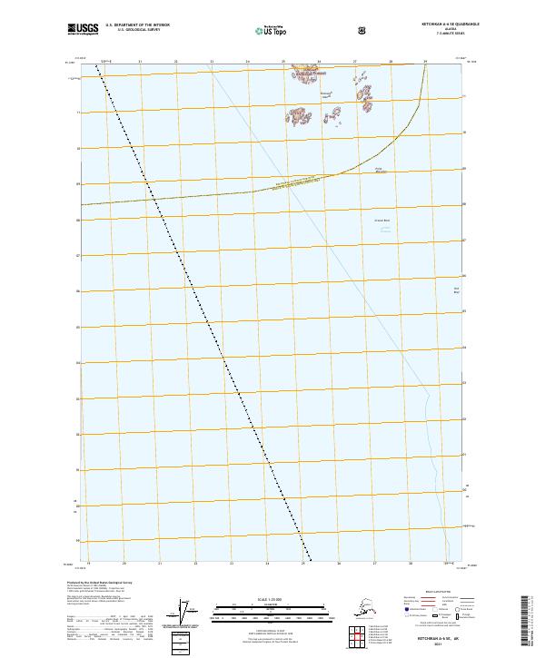
 2021 Ketchikan D-1 NE2021 Print · USGSThe remote border community of Hyder and the surrounding wilderness are captured here in the early twenty-first century. Researchers can trace the path of the Salmon River through the Tongass National Forest and locate specific peaks like Trebie Mountain.
 - 2021 Map of Ketchikan A-5 NW, 2021 Print
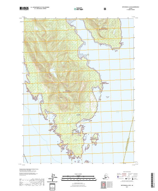
 2021 Ketchikan A-5 NW2021 Print · USGSAnnette Island in the early 2020s shows a landscape where high peaks meet the waters of Nichols Passage. Researchers can trace the local street network near Village Point or locate landmarks like Leadville Mtn and Helen Todd Lake within the reserve.
 - 2021 Map of Ketchikan A-6 SE, 2021 Print
 2021 Ketchikan A-6 SE2021 Print · USGSCoastal waters and maritime boundaries south of Ketchikan come to life in this recent survey. Maritime researchers can chart the waters of Nichols Passage and locate navigation points like Point McCartey and the Bronaugh Islands.
 - 2021 Map of Ketchikan A-6 NE, 2021 Print
 2021 Ketchikan A-6 NE2021 Print · USGSThe southern tip of Gravina Island and its rugged coastline are charted here during the early twenty-first century. Maritime researchers and historians can trace the intricate inlets of Bostwick Inlet and Dall Bay, or locate landmarks like Dall Head and The Puppets.
 - 2021 Map of Dixon Entrance C-3 OE E NE, 2021 Print
 2021 Dixon Entrance C-3 OE E NE2021 Print · USGSDixon Entrance and the southern fringes of the Alexander Archipelago are mapped here as they appeared in the early 2020s. Maritime researchers can trace the coastal boundaries of the Tongass National Forest along this significant international waterway.
 - 2021 Map of Dixon Entrance D-2 SW, 2021 Print
 2021 Dixon Entrance D-2 SW2021 Print · USGSCoastal reaches of the Alexander Archipelago are charted in this recent survey of the Tongass National Forest. Historians and researchers can trace the intricate shorelines of Long Island between the waters of Cordova Bay and Kaigani Strait.
 - 2021 Map of Dixon Entrance C-3 OE E NW, 2021 Print
 2021 Dixon Entrance C-3 OE E NW2021 Print · USGSThe remote maritime boundaries of the Alaskan Panhandle are captured here during the early twenty-first century. Maritime historians and researchers can trace the coastal waters of Dixon Entrance and the shoreline of the Tongass National Forest near Puerto de Dolores.
 - 2021 Map of Dixon Entrance C-3 NE, 2021 Print
 2021 Dixon Entrance C-3 NE2021 Print · USGSThe southern tip of Dall Island comes into sharp focus during this recent coastal survey within the Tongass National Forest. Trace the intricate maritime geography of the Alexander Archipelago, from the reaches of Cape Muzon to the sheltered waters of Datzkoo Harbor.
 - 2021 Map of Dixon Entrance C-3 NW, 2021 Print
 2021 Dixon Entrance C-3 NW2021 Print · USGSCoastal wilderness in the Tongass National Forest is captured here during the early twenty-first century, showing where the mountains meet the sea. Researchers can trace the steep topography around Stripe Mtn and the shoreline near Security Cove.
 - 2021 Map of Petersburg A-3 SE, 2021 Print
 2021 Petersburg A-3 SE2021 Print · USGSThe Alexander Archipelago in the early 2020s remains a wilderness of islands and channels where the Tongass National Forest meets the sea. Maritime researchers can trace the navigational landscape of Clarence Strait including Lincoln Island, Steamer Knoll, and Abraham Islands.
 - 2021 Map of Petersburg A-3 NW, 2021 Print
 2021 Petersburg A-3 NW2021 Print · USGSSoutheast Alaska's maritime interior is documented in the early 2020s, focusing on the intricate archipelago south of Zarembo Island. Researchers can trace the narrow waterways of Kashevarof Passage and identify remote landmasses like Shrubby Island and the Blashke Islands.
 - 2021 Map of Craig C-3 SE, 2021 Print
 2021 Craig C-3 SE2021 Print · USGSPrince of Wales Island's timber and coastal heritage are centered on Hollis in this recent survey. You can trace old access routes and water systems like Maybeso Road, Salmon Lake, and the remote Karta River Trl through the forest.
Showing maps 1-25 of 157
Top cities of Prince of Wales-Hyder
- Craig historical maps
- Klawock historical maps
- Thorne Bay historical maps
- Hydaburg historical maps
- Coffman Cove historical maps
- Kasaan historical maps
Frequently asked questions
- What are the different types of historical maps available for Prince of Wales-Hyder?
- What is the oldest map of Prince of Wales-Hyder?
- Where can I purchase historical maps of Prince of Wales-Hyder for my home or office?
- Where can I download high-res historical maps of Prince of Wales-Hyder?
- Are there historical topographic maps available for Prince of Wales-Hyder?
- Is there historical aerial imagery available for Prince of Wales-Hyder?
- Where are historical maps of Prince of Wales-Hyder sourced from?