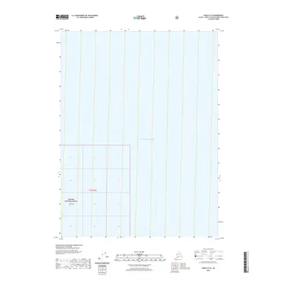
2020 Map of Craig A-5 SE
USGS Topo · Published 2020About this map
The vast marine expanse of the Gulf of Alaska dominates this coastal survey, where the open ocean meets the maritime boundaries of Southeast Alaska. This maritime environment is defined by the open waters surrounding Wolf Rock, a lone navigational landmark situated within the southern reaches of the Tongass National Forest. The map primarily serves to document the hydrographic and nautical character of the region, emphasizing the sparse terrestrial outcroppings and the administrative grid of t79s r79e that governs these remote waters. It reflects the intersection of protected national forest lands with the coastal shelf, focusing on the preservation of nautical safety and federal land management in an area where the sea is the primary landscape.
Find a feature on this map
4 named features on this map. Tap any name to fly to it.
Don’t see what you’re looking for? This feature index may not catch every label — zoom into the map to look around manually.
Map Details
Editions of this 2020 Craig A-5 SE Map
This is the sole edition of this map. No revisions or reprints were ever made.
Other maps of this area

1948 · Craig A-4
USGS Topo · 1:63,360

1948 · Dixon Entrance D-5
USGS Topo · 1:63,360

1948 · Craig A-5
USGS Topo · 1:63,360

1948 · Dixon Entrance D-4
USGS Topo · 1:63,360

1951 · Dixon Entrance
USGS Topo · 1:250,000

1951 · Craig A-4
USGS Topo · 1:63,360
1951 · Dixon Entrance D-4
USGS Topo · 1:63,360

1957 · Craig
USGS Topo · 1:250,000

1959 · Dixon Entrance
USGS Topo · 1:250,000
1994 · Craig A-4
USGS Topo · 1:63,360