
1948 Map of Craig A-5
USGS Topo · Published 1957About this map
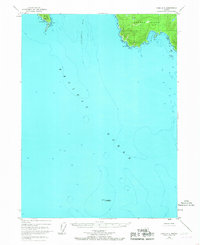
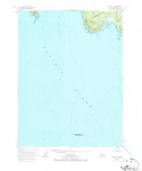
Suemez Island and its southwestern coastline dominate the northeastern corner of this coastal survey, where the Alexander Archipelago meets the open Pacific Ocean. This maritime environment is defined by its extreme points of land, including Cape Felix and the southern tip of Baker Island at Cape Bartolome. The charts reflect the hydrographic depth of Bucareli Bay and the surrounding waters, where bathymetric soundings indicate the steep drop-offs of the continental shelf.
Find a feature on this map
12 named features on this map. Tap any name to fly to it.
Don’t see what you’re looking for? This feature index may not catch every label — zoom into the map to look around manually.
Map Details
Editions of this 1948 Craig A-5 Map
3 editions found
Other maps of this area

1948 · Craig A-4
USGS Topo · 1:63,360

1948 · Dixon Entrance D-5
USGS Topo · 1:63,360

1948 · Craig B-5
USGS Topo · 1:63,360

1948 · Craig B-6
USGS Topo · 1:63,360

1948 · Dixon Entrance D-4
USGS Topo · 1:63,360

1949 · Craig B-4
USGS Topo · 1:63,360

1951 · Craig B-4
USGS Topo · 1:63,360

1951 · Dixon Entrance
USGS Topo · 1:250,000

1951 · Craig A-4
USGS Topo · 1:63,360
1951 · Dixon Entrance D-4
USGS Topo · 1:63,360