Old Maps of Copper Center, Alaska for Academic Research
Study the evolution of Copper Center with 8 high-resolution historic maps. Whether you're teaching, researching, or modeling changes in land use, these maps provide essential visual documentation of urban, environmental, and geographic change.
- Analyze long-term change: Track patterns in development, transportation, and natural features.
- Ideal for environmental or urban studies: Support academic projects with primary historical map data.
- Use in the classroom or lab: Educators and researchers rely on these maps to bring historical context to life.
These maps are a powerful tool for teaching, research, and visualizing how Copper Center has changed over the decades.
Copper Center, AK maps
(8)- 1949 Map of Valdez D-4, 1963 Print
 1949 Valdez D-41963 Print · USGSInterior Alaska at the midpoint of the century is defined here by the confluence of the Klutina and Copper rivers. Researchers can trace early infrastructure and homesteads at Copper Center and Willow Creek, or follow the path of the Richardson Highway.4 unique versions available
 - 1952 Map of Valdez
 1952 Valdez1952 Print · USGSCoastal Alaska met the interior via mountain passes and river valleys during the mid-century, before the 1964 earthquake altered the shoreline. Trace mining history at Midas Camp and Cliff Mine, or locate remote stations like Tiekel Cache and Copper Center.4 unique versions available
 - 1952 Map of Valdez D-4
 1952 Valdez D-41952 Print · USGSAlaska's Copper River Valley comes into focus in the early fifties, showing the strategic crossroads of river navigation and emerging highways. Researchers can trace the layout of Copper Center and several decommissioned government sites like the U S School Reserve (Abandoned) and the Airfield.2 unique versions available
 - 1960 Map of Valdez, 1967 Print
 1960 Valdez1967 Print · USGSCoastal and interior Alaska meet in this mid-century study of the Chugach Mountains and the copper-rich river valleys. Trace the legacy of early industry along the Copper River and Northwestern Railroad and locate settlements like Copper Center, Chitina, and Fort Liscum.6 unique versions available
 - 1996 Map of Valdez D-4, 2001 Print
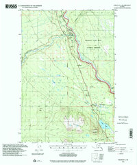 1996 Valdez D-42001 Print · USGSThe Copper River valley in the late nineties showcases the intersection of indigenous routes and modern infrastructure. Genealogists and researchers can trace the developed corridor of Copper Center and the Trans Alaska Pipeline near Willow Lake.
 - 2016 Map of Valdez D-4 NE, 2016 Print
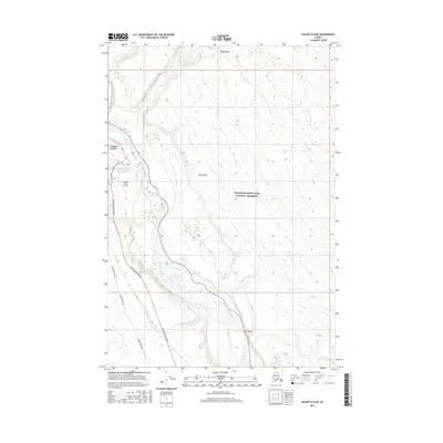 2016 Valdez D-4 NE2016 Print · USGSCopper Center sits at a strategic river junction during the mid-2010s, where traditional water routes meet modern energy and transit corridors. Researchers can trace the alignment of the Alaska Pipeline and Richardson Highway near the Klutina River.
 - 2019 Map of Valdez D-4 NE, 2019 Print
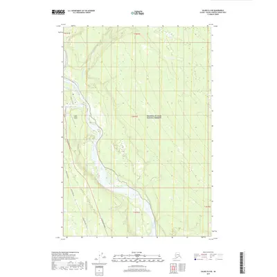 2019 Valdez D-4 NE2019 Print · USGSThe Copper River valley in the late 2010s shows a landscape where industrial infrastructure meets protected wilderness. Trace the parallel paths of the Alaska Pipeline and the Richardson Highway near the Copper Center 2 Airport.
 - 2023 Map of Valdez D-4 NE, 2023 Print
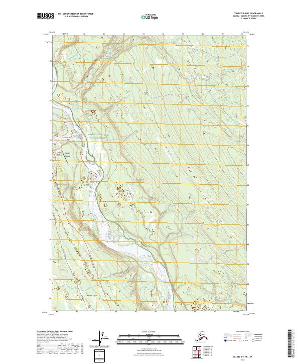 2023 Valdez D-4 NE2023 Print · USGSThe Copper River Valley in the twenty-first century is defined by its vital transit corridors and vast protected lands. Genealogists and researchers can trace the modern infrastructure of Copper Center and Willow Creek along the Alaska Pipeline.
End of results
Showing maps 1-8 of 8
Top cities near Copper Center
Frequently asked questions
- What are the different types of historical maps available for Copper Center?
- What is the oldest map of Copper Center?
- Where can I purchase historical maps of Copper Center for my home or office?
- Where can I download high-res historical maps of Copper Center?
- Are there historical topographic maps available for Copper Center?
- Is there historical aerial imagery available for Copper Center?
- Where are historical maps of Copper Center sourced from?