
1949 Map of Valdez D-4
USGS Topo · Published 1963About this map
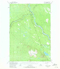
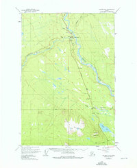
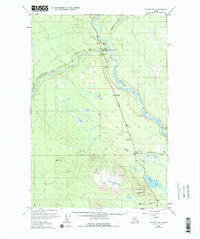
Copper Center serves as the central hub of this interior Alaskan landscape, situated where the Klutina River meets the silty expanse of the Copper River. The map, based on late 1940s photography, documents the vital transportation corridors of the era, most notably the Richardson Highway and the Edgerton Cut-Off. These routes connected the riverfront settlements to the broader territory, supported by local infrastructure like a Landing Strip and an Astro Station.
Find a feature on this map
25 named features on this map. Tap any name to fly to it.
Don’t see what you’re looking for? This feature index may not catch every label — zoom into the map to look around manually.
Map Details
Editions of this 1949 Valdez D-4 Map
4 editions found
Other maps of this area

1948 · Valdez D-5
USGS Topo · 1:63,360

1949 · Gulkana A-3
USGS Topo · 1:63,360

1951 · Valdez D-5
USGS Topo · 1:63,360

1951 · Gulkana
USGS Topo · 1:250,000

1951 · Gulkana A-4
USGS Topo · 1:63,360

1951 · Valdez C-3
USGS Topo · 1:63,360

1951 · Valdez C-4
USGS Topo · 1:63,360

1951 · Valdez C-5
USGS Topo · 1:63,360

1952 · Gulkana A-3
USGS Topo · 1:63,360

1952 · Valdez
USGS Topo · 1:250,000