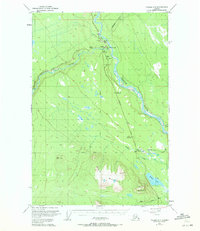
1949 Map of Valdez D-4
USGS Topo · Published 1971About this map
Copper Center serves as a focal point at the confluence of the Klutina River and the Copper River, marking a vital junction for interior travel and trade. This 1949 survey illustrates the early transportation network of the Copper River Basin, anchored by the Richardson Highway and the Old Edgerton Highway. The landscape is dominated by river dynamics and significant elevation changes, from the alluvial flats near the Klawasi River to the prominent peaks of Stuck Mountain and Willow Mountain. Historical infrastructure like the Landing Strip near Yetna Creek and several cabins scattered along the waterways suggest a region defined by seasonal transit and bush aviation. To the south, the terrain softens around Willow Lake and Rock Creek, providing a detailed view of the drainage patterns and early road alignments near the settlement of Edgerton before modern highway realignments.
Find a feature on this map
26 named features on this map. Tap any name to fly to it.
Don’t see what you’re looking for? This feature index may not catch every label — zoom into the map to look around manually.
Map Details
Editions of this 1949 Valdez D-4 Map
4 editions found
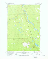
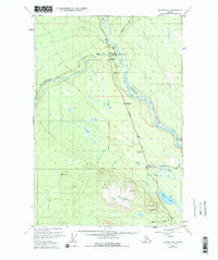
Other maps of this area

1948 · Valdez D-5
USGS Topo · 1:63,360

1949 · Gulkana A-3
USGS Topo · 1:63,360

1949 · Valdez D-4
USGS Topo · 1:63,360

1951 · Valdez D-5
USGS Topo · 1:63,360

1951 · Gulkana
USGS Topo · 1:250,000

1951 · Gulkana A-4
USGS Topo · 1:63,360

1951 · Valdez C-3
USGS Topo · 1:63,360

1951 · Valdez C-4
USGS Topo · 1:63,360

1951 · Valdez C-5
USGS Topo · 1:63,360

1952 · Gulkana A-3
USGS Topo · 1:63,360