
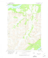
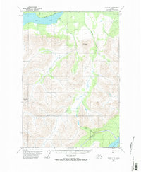
1951 Map of Valdez C-5
USGS Topo · Published 1965About this map
Klutina Lake dominates the northern reaches of this Alaskan interior landscape, where glacial waters feed a complex network of drainages including the Mahlo River and Manker Creek. The area is defined by sharp elevation changes rising toward high peaks such as Mt Simpson and Bence Mtn, with a solitary Cabin noted near the shores of Tonsina Lake in the southeast. While the terrain is largely untamed, a primitive Trail and various other Trails indicate the routes of early twentieth-century explorers and hunters through the valleys. The survey, based on 1950 aerial photography with minor revisions through the mid-1960s, provides a record of this wilderness before modern infrastructure, preserving the original nomenclature of water bodies like Twin Lake, Chutik Creek, and Greyling Creek.
Find a feature on this map
12 named features on this map. Tap any name to fly to it.
Don’t see what you’re looking for? This feature index may not catch every label — zoom into the map to look around manually.
Map Details
Editions of this 1951 Valdez C-5 Map
3 editions found
Other maps of this area

1948 · Valdez D-5
USGS Topo · 1:63,360

1949 · Valdez D-4
USGS Topo · 1:63,360

1949 · Valdez D-6
USGS Topo · 1:63,360

1950 · Valdez C-6
USGS Topo · 1:63,360

1951 · Valdez D-5
USGS Topo · 1:63,360

1951 · Valdez D-6
USGS Topo · 1:63,360

1951 · Valdez B-5
USGS Topo · 1:63,360

1951 · Valdez C-4
USGS Topo · 1:63,360

1951 · Valdez B-4
USGS Topo · 1:63,360

1951 · Valdez B-6
USGS Topo · 1:63,360