
1951 Map of Valdez B-6
USGS Topo · Published 1966About this map
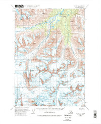
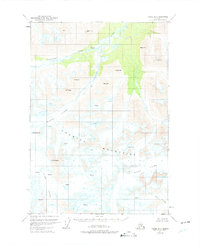
The Chugach Mountains dominate this portion of the Alaskan interior, recorded in the early 1950s just as topographic photogrammetry was refining the mapping of the territory’s most inaccessible peaks. Massive ice fields define the hydrology here, with the Klutina Glacier, Tonsina Glacier, and Valdez Glacier carving through the high-elevation terrain. This survey provides a precise look at the glaciated landscape before modern retreat, noting numerous crevasses and naming peaks such as Mt Schrader, Mt Ourand, and Mt Evans. The northern reaches show the drainage patterns of Stephens Creek and the Klutina River, highlighting the transition from permanent ice to the river valleys that served as early transit corridors through the coastal ranges.
Find a feature on this map
16 named features on this map. Tap any name to fly to it.
Don’t see what you’re looking for? This feature index may not catch every label — zoom into the map to look around manually.
Map Details
Editions of this 1951 Valdez B-6 Map
3 editions found
Other maps of this area

1950 · Valdez C-6
USGS Topo · 1:63,360

1951 · Valdez B-5
USGS Topo · 1:63,360

1951 · Valdez C-5
USGS Topo · 1:63,360

1951 · Valdez A-6
USGS Topo · 1:63,360

1952 · Valdez
USGS Topo · 1:250,000

1952 · Valdez A-6
USGS Topo · 1:63,360

1953 · Valdez C-6
USGS Topo · 1:63,360

1953 · Valdez C-5
USGS Topo · 1:63,360

1953 · Valdez B-6
USGS Topo · 1:63,360

1953 · Valdez A-5
USGS Topo · 1:63,360