Old Maps of Gakona, Alaska for Hiking & Exploration
Hike through history with 8 historic maps of Gakona. Explore old trails, ghost towns, and forgotten backroads — perfect for outdoor adventurers and local explorers.
- Rediscover forgotten places: Map out old mining camps, roads, and footpaths that no longer exist on modern maps.
- Layer with modern tools: Combine with LiDAR or satellite views to plan hikes through historical terrain.
- Made for exploration: Popular among hikers, overlanders, and local history lovers.
Use these maps to find adventure and explore the hidden past of Gakona.
Gakona, AK maps
(8)- 1950 Map of Gulkana B-3, 1962 Print
 1950 Gulkana B-31962 Print · USGSThe Copper River basin in the mid-twentieth century reveals the critical junction of the Richardson Highway and Glenn Highway. Trace the early infrastructure of Gulkana and Gakona, including a Landing Strip and local Big Timber landmarks.3 unique versions available
 - 1951 Map of Gulkana
 1951 Gulkana1951 Print · USGSThe Copper River basin comes alive in the early fifties as the highway system begins to reshape the Alaskan interior. Genealogists and historians can trace pioneer outposts from Ryans Roadhouse to Sourdough, alongside major landmarks like Lake Louise.4 unique versions available
 - 1952 Map of Gulkana B-3
 1952 Gulkana B-31952 Print · USGSAlaskan roadhouse culture and river travel converged at this interior crossroads during the early fifties. Historians can trace the intersection of the Glenn Highway and Richardson Highway, finding early settlements like Gakona, Gulkana, and Poplar Grove.2 unique versions available
 - 1959 Map of Gulkana, 1964 Print
 1959 Gulkana1964 Print · USGSThe Copper River Basin and the Wrangell Mountains meet in the late 1950s at the vital junction of the Richardson and Glenn Highways. Researchers can trace the development of early settlements and travel stops like Tyone Village, Gulkana, and Tazlina Lake Lodge.7 unique versions available
 - 1965 Map of Gulkana
 1965 Gulkana1965 Print · USGSInterior Alaska's river valleys and mountain peaks are captured here in the mid-1960s as the highway system connected the wilderness. Researchers can trace the layout of early settlements and junctions like Gakona Junction, Tazlina, and the remote Tyone Village.
 - 2013 Map of Gulkana B-3 SW, 2013 Print
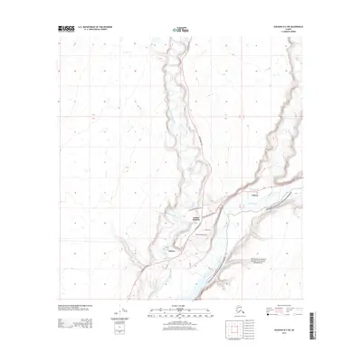 2013 Gulkana B-3 SW2013 Print · USGSGulkana and Gakona are captured at their river-and-road convergence in the early twenty-first century. Researchers can trace the transportation corridors of the Richardson Hwy and Glenn Hwy Tok Cutoff past Jacobus Field Airport and Gakona Junction.
 - 2019 Map of Gulkana B-3 SW, 2019 Print
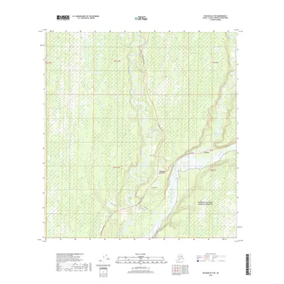 2019 Gulkana B-3 SW2019 Print · USGSGakona and its strategic road junction are documented in the late 2010s at the meeting of the Richardson and Tok Cutoff highways. Researchers can trace the braided channels of the Copper River and locate local landmarks like Jacobus Field and the Gakona settlement.
 - 2023 Map of Gulkana B-3 SW, 2023 Print
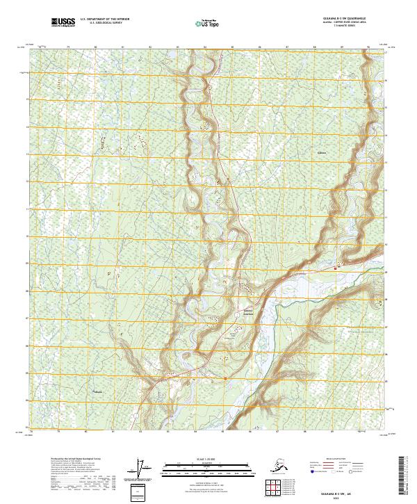 2023 Gulkana B-3 SW2023 Print · USGSThe Copper River Basin comes into focus in this contemporary survey, showing the vital road junctions of the Alaskan interior. Trace the modern layout of Gulkana and Gakona Junction or locate the aviation strip at Jacobus Field near the Copper River.
End of results
Showing maps 1-8 of 8
Frequently asked questions
- What are the different types of historical maps available for Gakona?
- What is the oldest map of Gakona?
- Where can I purchase historical maps of Gakona for my home or office?
- Where can I download high-res historical maps of Gakona?
- Are there historical topographic maps available for Gakona?
- Is there historical aerial imagery available for Gakona?
- Where are historical maps of Gakona sourced from?